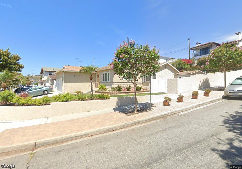
4603 Macafee Rd Torrance, CA 90505
Seaside NeighborhoodEstimated Value: $1,387,023 - $1,633,000
About This Home
This home is located at 4603 Macafee Rd, Torrance, CA 90505 and is currently estimated at $1,476,506, approximately $992 per square foot. 4603 Macafee Rd is a home located in Los Angeles County with nearby schools including Seaside Elementary School, Calle Mayor Middle School, and South High School.
Ownership History
We collect this data history from publicly available records. To have your information removed, we recommend requesting removal directly through your county’s website.
Purchase Details
Purchase Details
Home Financials for this Owner
Home Financials are based on the most recent Mortgage that was taken out on this home.Home Values in the Area
Average Home Value in this Area
Purchase History
We collect this data history from publicly available records. To have your information removed, we recommend requesting removal directly through your county’s website.
| Date | Buyer | Sale Price | Title Company |
|---|---|---|---|
| -- | -- | ||
| $255,000 | Fidelity National Title |
Mortgage History
We collect this data history from publicly available records. To have your information removed, we recommend requesting removal directly through your county’s website.
| Date | Status | Borrower | Loan Amount |
|---|---|---|---|
| Open | $242,250 |
Tax History
We collect this data history from publicly available records. To have your information removed, we recommend requesting removal directly through your county’s website.
| Year | Tax Paid | Tax Assessment Tax Assessment Total Assessment is a certain percentage of the fair market value that is determined by local assessors to be the total taxable value of land and additions on the property. | Land | Improvement |
|---|---|---|---|---|
| 2025 | $5,125 | $423,592 | $338,886 | $84,706 |
| 2024 | $5,070 | $415,288 | $332,242 | $83,046 |
| 2023 | $4,981 | $407,146 | $325,728 | $81,418 |
| 2022 | $4,915 | $399,164 | $319,342 | $79,822 |
| 2021 | $4,822 | $391,338 | $313,081 | $78,257 |
| 2019 | $4,687 | $379,733 | $303,796 | $75,937 |
| 2018 | $4,406 | $372,289 | $297,840 | $74,449 |
| 2016 | $4,202 | $357,834 | $286,275 | $71,559 |
| 2015 | $4,110 | $352,460 | $281,975 | $70,485 |
| 2014 | $4,010 | $345,557 | $276,452 | $69,105 |
Map
- 4420 Calle Mayor
- 4428 W 234th St
- 5013 Macafee Rd
- 5006 Sharynne Ln
- 23452 Kathryn Ave
- 23404 Anza Ave
- 4904 Reynolds Rd
- 3928 W 230th St
- 23501 Ladeene Ave
- 4811 Highgrove Ave
- 23301 Los Codona Ave
- 4609 Highgrove Ave
- 5620 Clearsite St
- 23211 Doris Way
- 4439 Newton St
- 4402 Cathann St
- 1920 S Pacific Coast Hwy Unit 312
- 5209 Sepulveda Blvd
- 21921 Grant Ave
- 5013 Via el Sereno
- 4607 Macafee Rd
- 4611 Macafee Rd
- 4604 Vanderhill Rd
- 4608 Vanderhill Rd
- 4612 Vanderhill Rd
- 23118 Carlow Rd
- 4701 Macafee Rd
- 23114 Carlow Rd
- 23122 Carlow Rd
- 4604 Macafee Rd
- 4618 Vanderhill Rd
- 23126 Carlow Rd
- 23110 Carlow Rd
- 4612 Macafee Rd
- 4705 Macafee Rd
- 4702 Vanderhill Rd
- 23106 Carlow Rd
- 4575 Calle Mayor Unit 2
- 4571 Calle Mayor
- 4702 Macafee Rd
Ask me questions while you tour the home.