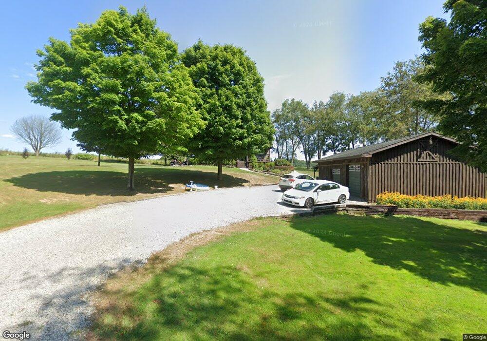
4604 N Hart Rd Cochranton, PA 16314
Estimated Value: $164,000 - $282,000
--
Bed
--
Bath
--
Sq Ft
1
Acres
About This Home
This home is located at 4604 N Hart Rd, Cochranton, PA 16314 and is currently estimated at $202,788. 4604 N Hart Rd is a home located in Crawford County with nearby schools including Cochranton Elementary School and Cochranton Junior/Senior High School.
Ownership History
Date
Name
Owned For
Owner Type
Purchase Details
Closed on
Jun 30, 2020
Sold by
Wilcox Douglas D and Wilcox Amy B
Bought by
Fox Trent L and Fox Haley N
Current Estimated Value
Home Financials for this Owner
Home Financials are based on the most recent Mortgage that was taken out on this home.
Original Mortgage
$162,500
Outstanding Balance
$144,362
Interest Rate
3.2%
Mortgage Type
New Conventional
Estimated Equity
$58,426
Purchase Details
Closed on
Oct 19, 2007
Sold by
Biggs Travis J and Biggs Wendy Sue
Bought by
Wilcox Douglas D and Wilcox Amy B
Home Financials for this Owner
Home Financials are based on the most recent Mortgage that was taken out on this home.
Original Mortgage
$158,500
Interest Rate
6.51%
Mortgage Type
New Conventional
Create a Home Valuation Report for This Property
The Home Valuation Report is an in-depth analysis detailing your home's value as well as a comparison with similar homes in the area
Home Values in the Area
Average Home Value in this Area
Purchase History
| Date | Buyer | Sale Price | Title Company |
|---|---|---|---|
| Fox Trent L | $185,000 | Allegheny Realty Setmnt Llc | |
| Wilcox Douglas D | $158,500 | None Available |
Source: Public Records
Mortgage History
| Date | Status | Borrower | Loan Amount |
|---|---|---|---|
| Open | Fox Trent L | $162,500 | |
| Previous Owner | Wilcox Douglas D | $158,500 |
Source: Public Records
Tax History Compared to Growth
Tax History
| Year | Tax Paid | Tax Assessment Tax Assessment Total Assessment is a certain percentage of the fair market value that is determined by local assessors to be the total taxable value of land and additions on the property. | Land | Improvement |
|---|---|---|---|---|
| 2025 | $885 | $40,500 | $650 | $39,850 |
| 2024 | $1,411 | $40,500 | $650 | $39,850 |
| 2023 | $1,411 | $40,500 | $650 | $39,850 |
| 2022 | $3,091 | $40,500 | $650 | $39,850 |
| 2021 | $3,016 | $40,500 | $650 | $39,850 |
| 2020 | $3,016 | $40,500 | $650 | $39,850 |
| 2019 | $3,016 | $40,500 | $650 | $39,850 |
| 2018 | $2,864 | $40,500 | $650 | $39,850 |
| 2017 | $2,831 | $40,500 | $650 | $39,850 |
| 2016 | $763 | $40,500 | $650 | $39,850 |
| 2015 | $763 | $40,500 | $650 | $39,850 |
| 2014 | -- | $40,500 | $650 | $39,850 |
Source: Public Records
Map
Nearby Homes
- 119 W Pine St
- 4129 Pine Dr
- 179 S Franklin St
- 23755 State Highway 285
- 0 Donation Hill Rd Unit 24033249
- 23078 Mallard Ln
- 6528 Mccracken Rd
- 16 Blair Ln
- 21412 Shick Dr
- 0 Pettis Rd Unit 187939
- Deckard's Run Rd and Judson Rd
- 315 Long Rd
- 0 Deckards Run Rd and Judson Rd Unit 11536704
- 840 Sunol Rd
- 00 Deckards Run Rd
- 9685 Pettis Rd
- 2681 Mallory Rd
- 214 Deer Creek Rd
- 21427 Phelps Rd
- 19168 Mule St