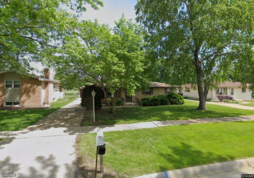
4604 Pine Al Dr Machesney Park, IL 61115
Estimated Value: $167,322 - $191,000
3
Beds
1
Bath
1,040
Sq Ft
$172/Sq Ft
Est. Value
About This Home
This home is located at 4604 Pine Al Dr, Machesney Park, IL 61115 and is currently estimated at $178,581, approximately $171 per square foot. 4604 Pine Al Dr is a home located in Winnebago County with nearby schools including Marquette Elementary School, Harlem Middle School, and Harlem High School.
Ownership History
Date
Name
Owned For
Owner Type
Purchase Details
Closed on
May 18, 2023
Sold by
Lafleur Teresa J
Bought by
Mitkusevitch Paul H and Mitkusevitch Barbara
Current Estimated Value
Home Financials for this Owner
Home Financials are based on the most recent Mortgage that was taken out on this home.
Original Mortgage
$92,000
Outstanding Balance
$83,199
Interest Rate
7%
Mortgage Type
New Conventional
Estimated Equity
$95,382
Purchase Details
Closed on
Oct 25, 1996
Bought by
Lafleur Teresa
Create a Home Valuation Report for This Property
The Home Valuation Report is an in-depth analysis detailing your home's value as well as a comparison with similar homes in the area
Home Values in the Area
Average Home Value in this Area
Purchase History
| Date | Buyer | Sale Price | Title Company |
|---|---|---|---|
| Mitkusevitch Paul H | $115,000 | None Listed On Document | |
| Lafleur Teresa | $83,200 | -- |
Source: Public Records
Mortgage History
| Date | Status | Borrower | Loan Amount |
|---|---|---|---|
| Open | Mitkusevitch Paul H | $92,000 |
Source: Public Records
Tax History Compared to Growth
Tax History
| Year | Tax Paid | Tax Assessment Tax Assessment Total Assessment is a certain percentage of the fair market value that is determined by local assessors to be the total taxable value of land and additions on the property. | Land | Improvement |
|---|---|---|---|---|
| 2024 | $3,702 | $46,495 | $4,797 | $41,698 |
| 2023 | $2,614 | $41,292 | $4,260 | $37,032 |
| 2022 | $1,872 | $37,661 | $3,885 | $33,776 |
| 2021 | $1,878 | $35,027 | $3,613 | $31,414 |
| 2020 | $1,821 | $33,366 | $3,442 | $29,924 |
| 2019 | $1,965 | $31,960 | $3,297 | $28,663 |
| 2018 | $2,665 | $30,912 | $3,189 | $27,723 |
| 2017 | $2,674 | $30,065 | $3,102 | $26,963 |
| 2016 | $2,626 | $29,467 | $3,040 | $26,427 |
| 2015 | $2,600 | $28,952 | $2,987 | $25,965 |
| 2014 | $2,562 | $28,952 | $2,987 | $25,965 |
Source: Public Records
Map
Nearby Homes
- 4773 Terrang Trail
- 8420 Bobolink Dr
- 4625 Comet Dr
- 1521 Harlem Rd
- 7725 Boulder St
- 8913 Alpha Dr
- 2120 Devon Ave
- 7701 Edwin Ln
- 8740 Tim Ln
- 2020 Exeter Ave
- 2304 Maple Ave
- 7606 Buffalo Grove Rd
- 7609 Buffalo Grove Rd
- 1308 van Stone Dr
- 2202 Evans Ave
- 6401 Currant Ct
- 5132 Pebble Ln
- 5088 Stonecrest St
- 8624 Scott Ln
- 8632 Scott Ln
- 4600 Pine Al Dr
- 4608 Pine Al Dr
- 4516 Pine Al Dr
- 4612 Pine Al Dr
- 4512 Pine Al Dr
- 4616 Pine Al Dr
- 4665 Hans Ln
- 4529 Pine Al Dr
- 4607 Pine Al Dr
- 4525 Pine Al Dr
- 4620 Pine Al Dr
- 4617 Pine Al Dr
- 4510 Pine Al Dr
- 4521 Pine Al Dr
- 4615 Pine Al Dr
- 4624 Pine Al Dr
- 4517 Pine Al Dr
- 4677 Hans Ln
- 4619 Pine Al Dr
- 4513 Pine Al Dr