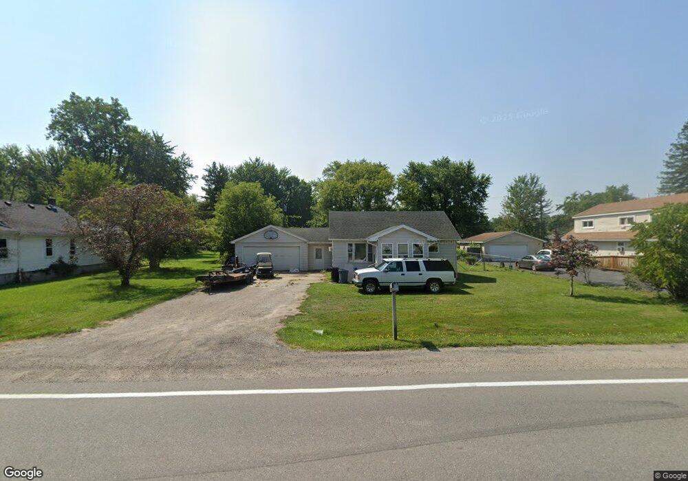
4605 Griswold Rd Kimball, MI 48074
Estimated Value: $155,000 - $174,000
3
Beds
1
Bath
1,087
Sq Ft
$154/Sq Ft
Est. Value
About This Home
This home is located at 4605 Griswold Rd, Kimball, MI 48074 and is currently estimated at $167,557, approximately $154 per square foot. 4605 Griswold Rd is a home located in St. Clair County with nearby schools including Kimball Elementary School, Central Middle School, and Port Huron High School.
Ownership History
Date
Name
Owned For
Owner Type
Purchase Details
Closed on
Oct 22, 2010
Sold by
Griffin Daniel S and Griffin Michelle M
Bought by
Steinhaus Ronald and Steinhaus Renee
Current Estimated Value
Home Financials for this Owner
Home Financials are based on the most recent Mortgage that was taken out on this home.
Original Mortgage
$54,269
Interest Rate
4.22%
Mortgage Type
FHA
Purchase Details
Closed on
Dec 13, 2007
Sold by
Steinhaus Wayne A and Steinhaus Margaret A
Bought by
Griffin Daniel and Griffin Michelle
Create a Home Valuation Report for This Property
The Home Valuation Report is an in-depth analysis detailing your home's value as well as a comparison with similar homes in the area
Home Values in the Area
Average Home Value in this Area
Purchase History
| Date | Buyer | Sale Price | Title Company |
|---|---|---|---|
| Steinhaus Ronald | $61,001 | None Available | |
| Griffin Daniel | $33,983 | None Available |
Source: Public Records
Mortgage History
| Date | Status | Borrower | Loan Amount |
|---|---|---|---|
| Previous Owner | Steinhaus Ronald | $54,269 |
Source: Public Records
Tax History Compared to Growth
Tax History
| Year | Tax Paid | Tax Assessment Tax Assessment Total Assessment is a certain percentage of the fair market value that is determined by local assessors to be the total taxable value of land and additions on the property. | Land | Improvement |
|---|---|---|---|---|
| 2025 | $1,286 | $73,900 | $0 | $0 |
| 2024 | $673 | $69,700 | $0 | $0 |
| 2023 | $510 | $59,700 | $0 | $0 |
| 2022 | $1,130 | $49,100 | $0 | $0 |
| 2021 | $1,326 | $46,600 | $0 | $0 |
| 2020 | $1,326 | $45,400 | $45,400 | $0 |
| 2019 | $897 | $36,700 | $0 | $0 |
| 2018 | $860 | $35,300 | $0 | $0 |
| 2017 | $1,041 | $35,800 | $0 | $0 |
| 2016 | $416 | $35,800 | $0 | $0 |
| 2015 | -- | $34,800 | $34,800 | $0 |
| 2014 | -- | $29,200 | $29,200 | $0 |
| 2013 | -- | $36,800 | $0 | $0 |
Source: Public Records
Map
Nearby Homes
- 4595 Griswold Rd
- 0000 Range Rd
- 4632 Cloverdale Ln
- 1830 Leland Rd
- 00 Howard Rd
- 1405 Range Rd
- 1979 Allen Rd
- 0 Wall Rd Unit 50185999
- 00 Range Rd
- V/L Allen
- 1701 Allen Rd
- 0 Allen Rd Unit 20250008597
- 0 Allen Rd Unit 20250008612
- 1604 Allen Rd
- 0 Lapeer Rd Unit 50137357
- 4380 Lapeer Rd
- 4911 Castlewood Dr
- 2650 Alger Rd
- 174 Meadow Ln
- 5510 Griswold Rd
- 4611 Griswold Rd
- 4606 Griswold Rd
- 4621 Griswold Rd
- 4587 Griswold Rd
- 4602 Griswold Rd
- 4590 Griswold Rd
- 4585 Griswold Rd
- 4575 Griswold Rd
- 4625 Griswold Rd
- 4622 Griswold Rd
- 4618 Griswold Rd
- 4626 Griswold Rd
- 1960 Harvey Rd
- 4629 Griswold Rd
- 1975 Harvey Rd
- 4630 Griswold Rd
- 4576 Griswold Rd
- V/L Vac Griswold Rd
- 4567 Griswold Rd
- 4610 Griswold Rd