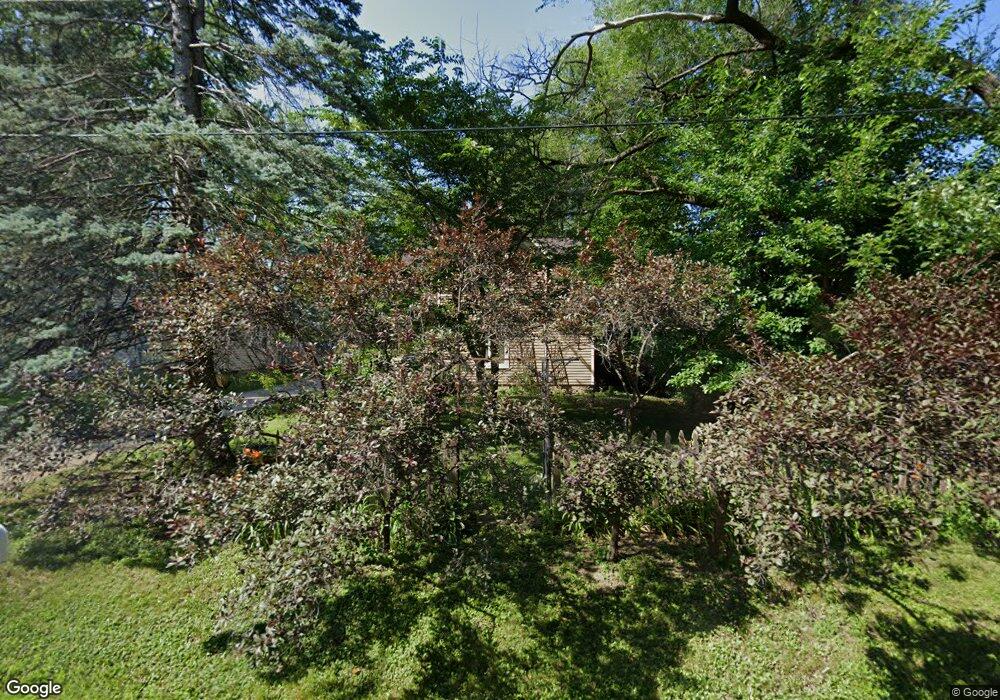
4606 Marion Ave Rockford, IL 61108
Estimated Value: $185,000 - $258,000
3
Beds
2
Baths
1,724
Sq Ft
$123/Sq Ft
Est. Value
About This Home
This home is located at 4606 Marion Ave, Rockford, IL 61108 and is currently estimated at $211,254, approximately $122 per square foot. 4606 Marion Ave is a home located in Winnebago County with nearby schools including A C Thompson Elementary School, Bernard W. Flinn Middle School, and Rockford East High School.
Ownership History
Date
Name
Owned For
Owner Type
Purchase Details
Closed on
Aug 19, 2005
Sold by
Marvelene Waddell and Marvelene H L
Bought by
Wilks Ronald and Wilks Angelique N
Current Estimated Value
Home Financials for this Owner
Home Financials are based on the most recent Mortgage that was taken out on this home.
Original Mortgage
$70,000
Interest Rate
3.75%
Mortgage Type
FHA
Create a Home Valuation Report for This Property
The Home Valuation Report is an in-depth analysis detailing your home's value as well as a comparison with similar homes in the area
Home Values in the Area
Average Home Value in this Area
Purchase History
| Date | Buyer | Sale Price | Title Company |
|---|---|---|---|
| Wilks Ronald | -- | -- | |
| Wilks Ronald | $110,000 | -- |
Source: Public Records
Mortgage History
| Date | Status | Borrower | Loan Amount |
|---|---|---|---|
| Previous Owner | Wilks Ronald | $70,000 | |
| Closed | Wilks Ronald | $26,647 |
Source: Public Records
Tax History Compared to Growth
Tax History
| Year | Tax Paid | Tax Assessment Tax Assessment Total Assessment is a certain percentage of the fair market value that is determined by local assessors to be the total taxable value of land and additions on the property. | Land | Improvement |
|---|---|---|---|---|
| 2024 | $3,409 | $48,376 | $5,093 | $43,283 |
| 2023 | $3,199 | $42,656 | $4,491 | $38,165 |
| 2022 | $3,065 | $38,126 | $4,014 | $34,112 |
| 2021 | $2,953 | $34,959 | $3,681 | $31,278 |
| 2020 | $2,882 | $33,049 | $3,480 | $29,569 |
| 2019 | $2,804 | $31,499 | $3,317 | $28,182 |
| 2018 | $2,719 | $29,685 | $3,126 | $26,559 |
| 2017 | $2,690 | $28,410 | $2,992 | $25,418 |
| 2016 | $2,665 | $27,878 | $2,936 | $24,942 |
| 2015 | $2,694 | $27,878 | $2,936 | $24,942 |
| 2014 | $2,991 | $30,418 | $3,670 | $26,748 |
Source: Public Records
Map
Nearby Homes
- 69XX Charles St
- 1549 Powder Horn Dr
- 1210 Woodridge Dr
- 1721 Nixon Ct
- 4805 Waukegan Dr
- 2225 Welworth Ave
- 4108 Tonawanda Ave
- 4920 Fletcher Place
- 1223 Esmond Dr
- 5111 Upland Dr
- 2104 Wyoming Dr
- 5334 Dierks Dr Unit 12
- 5384 Dierks Dr Unit 17
- 5384 Dierks Dr
- 911 Kenmore Rd
- 1120 Esmond Dr
- 2205 Wyoming Dr
- 5661 Einor Ave
- 1112 Blenheim Dr
- 4610 Marion Ave
- 1736 Warren Rd
- 4614 Marion Ave
- 1706 Warren Rd
- 4615 Forest View Ave
- 4618 Marion Ave
- 1735 Warren Rd
- 4625 Forest View Ave
- 1809 Warren Rd
- 4607 Marion Ave
- 4611 Marion Ave
- 1812 Warren Rd
- 4626 Marion Ave
- 1813 Warren Rd
- 4619 Marion Ave
- 4719 Forest View Ave
- 1710 Lynnwood St
- 1714 Lynnwood St
- 1718 Lynnwood St
- 1628 Warren Rd