4607 Roop Rd Mount Airy, MD 21771
Estimated Value: $556,000 - $607,111
--
Bed
2
Baths
2,936
Sq Ft
$197/Sq Ft
Est. Value
About This Home
This home is located at 4607 Roop Rd, Mount Airy, MD 21771 and is currently estimated at $577,778, approximately $196 per square foot. 4607 Roop Rd is a home located in Carroll County with nearby schools including Winfield Elementary School, Mount Airy Middle School, and South Carroll High School.
Ownership History
Date
Name
Owned For
Owner Type
Purchase Details
Closed on
Nov 22, 1996
Sold by
Boone Nathan R
Bought by
Boone Nathan R
Current Estimated Value
Purchase Details
Closed on
Feb 3, 1995
Sold by
Newton Benjamin E
Bought by
Boone Nathan R
Home Financials for this Owner
Home Financials are based on the most recent Mortgage that was taken out on this home.
Original Mortgage
$120,000
Interest Rate
9.13%
Create a Home Valuation Report for This Property
The Home Valuation Report is an in-depth analysis detailing your home's value as well as a comparison with similar homes in the area
Home Values in the Area
Average Home Value in this Area
Purchase History
| Date | Buyer | Sale Price | Title Company |
|---|---|---|---|
| Boone Nathan R | -- | -- | |
| Boone Nathan R | $160,000 | -- |
Source: Public Records
Mortgage History
| Date | Status | Borrower | Loan Amount |
|---|---|---|---|
| Previous Owner | Boone Nathan R | $120,000 |
Source: Public Records
Tax History Compared to Growth
Tax History
| Year | Tax Paid | Tax Assessment Tax Assessment Total Assessment is a certain percentage of the fair market value that is determined by local assessors to be the total taxable value of land and additions on the property. | Land | Improvement |
|---|---|---|---|---|
| 2025 | $4,651 | $450,800 | $0 | $0 |
| 2024 | $4,651 | $424,400 | $218,700 | $205,700 |
| 2023 | $4,437 | $408,833 | $0 | $0 |
| 2022 | $4,233 | $393,267 | $0 | $0 |
| 2021 | $8,268 | $377,700 | $178,700 | $199,000 |
| 2020 | $3,875 | $353,367 | $0 | $0 |
| 2019 | $3,778 | $329,033 | $0 | $0 |
| 2018 | $3,472 | $304,700 | $159,300 | $145,400 |
| 2017 | $3,431 | $301,000 | $0 | $0 |
| 2016 | -- | $297,300 | $0 | $0 |
| 2015 | -- | $293,600 | $0 | $0 |
| 2014 | -- | $293,600 | $0 | $0 |
Source: Public Records
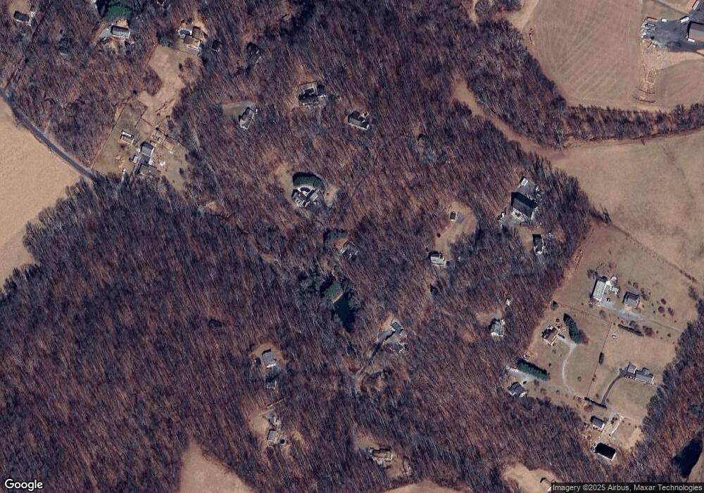
Map
Nearby Homes
- 2990 Honeywood Dr
- 4828 Ridge Rd
- 4950 Crocus Rd
- 5134 Perry Rd
- 4328 Ridge Rd Unit 13
- 4417 Buffalo Rd
- 2613 Liberty Rd
- 5307 Pommel Dr
- 3870 Roop Rd
- 2210 Skylark Dr
- 5345 Pommel Dr
- 3008 Arapaho Ct
- 3720 Buffalo Rd
- 3816 A Jim Smith Ln
- 0 Cabbage Spring Rd
- 7309 Talbot Run Rd
- 3174 Cardinal Dr
- 15602 Wildrose Ct
- 3319 Mail Rd
- 3204 Hooper Rd