46070 Township Road 285 Coshocton, OH 43812
Estimated Value: $248,000 - $280,000
4
Beds
2
Baths
2,160
Sq Ft
$123/Sq Ft
Est. Value
About This Home
This home is located at 46070 Township Road 285, Coshocton, OH 43812 and is currently estimated at $266,211, approximately $123 per square foot. 46070 Township Road 285 is a home located in Coshocton County with nearby schools including River View High School.
Ownership History
Date
Name
Owned For
Owner Type
Purchase Details
Closed on
May 7, 2020
Sold by
Heflin Terry D
Bought by
Heflin Terry D and Morrison Pamela K
Current Estimated Value
Purchase Details
Closed on
Feb 6, 2001
Sold by
Heflin Terry D
Bought by
Heflin Terry D
Purchase Details
Closed on
Mar 16, 1999
Sold by
Norman Suzanne M
Bought by
Heflin Suzanne M
Purchase Details
Closed on
Jan 7, 1994
Sold by
Palmer Melinda K
Bought by
Norman Suzanne M
Purchase Details
Closed on
Apr 20, 1993
Sold by
Palmer Dexter E
Bought by
Palmer Melinda K
Create a Home Valuation Report for This Property
The Home Valuation Report is an in-depth analysis detailing your home's value as well as a comparison with similar homes in the area
Home Values in the Area
Average Home Value in this Area
Purchase History
| Date | Buyer | Sale Price | Title Company |
|---|---|---|---|
| Heflin Terry D | -- | None Available | |
| Heflin Terry D | -- | -- | |
| Heflin Suzanne M | -- | -- | |
| Norman Suzanne M | $49,000 | -- | |
| Palmer Melinda K | -- | -- |
Source: Public Records
Tax History Compared to Growth
Tax History
| Year | Tax Paid | Tax Assessment Tax Assessment Total Assessment is a certain percentage of the fair market value that is determined by local assessors to be the total taxable value of land and additions on the property. | Land | Improvement |
|---|---|---|---|---|
| 2024 | $2,376 | $64,770 | $12,150 | $52,620 |
| 2023 | $2,376 | $52,346 | $8,498 | $43,848 |
| 2022 | $1,963 | $52,346 | $8,498 | $43,848 |
| 2021 | $1,963 | $52,346 | $8,498 | $43,848 |
| 2020 | $1,838 | $48,756 | $8,516 | $40,240 |
| 2019 | $1,880 | $48,756 | $8,516 | $40,240 |
| 2018 | $1,734 | $48,756 | $8,516 | $40,240 |
| 2017 | $1,432 | $40,894 | $7,588 | $33,306 |
| 2016 | $1,350 | $40,894 | $7,588 | $33,306 |
| 2015 | $675 | $40,894 | $7,588 | $33,306 |
| 2014 | $1,277 | $39,620 | $6,475 | $33,145 |
Source: Public Records
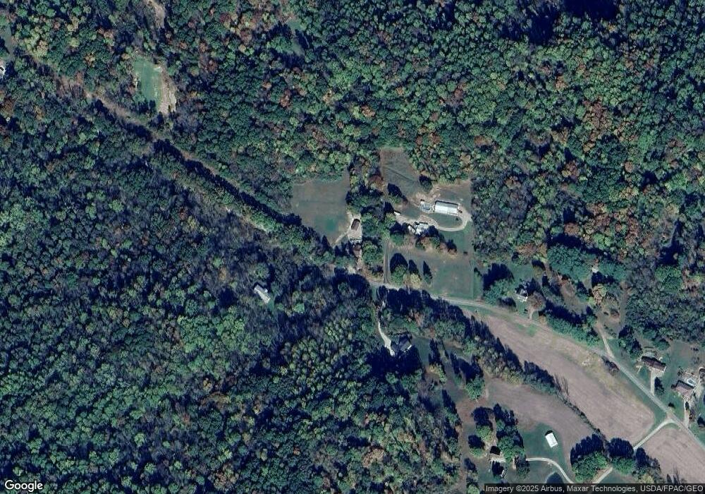
Map
Nearby Homes
- 46580 Township Road 479
- 17967 Township Road 347
- 18090 State Route 16
- 19625 County Road 6
- 18224 County Road 6
- 17981 Township Road 347
- 20178 County Road 6
- 15713 State Route 16
- 20101 Ohio 16
- 615 Franklin Ave
- 617 Franklin Ave
- 621 Franklin Ave
- 20413 Township Road 1184
- 2609 S 7th St
- 1730 Otsego Ave
- 0 Pleasant Valley Dr
- 21569 State Route 16
- 14405 Ohio 83
- 49694 Township Road 146
- 46418 County Road 501
- 46122 Township Road 285
- 46033 Township Road 285
- 46125 Tr 285
- 46230 Township Road 285
- 46260 Township Road 285
- 46274 Township Road 285
- 46282 Township Road 285
- 45757 Township Road 285 Unit 6
- 45750 Township Road 285
- 46308 Township Road 285
- 46169 Township Road 290
- 45808 Township Road 285
- 46328 Township Road 285
- 46139 Township Road 290
- 18539 Township Road 284
- 46358 Township Road 285
- 18527 Township Road 284
- 46369 Township Road 285
- 46000 Township Road 290
- 18511 Township Road 284