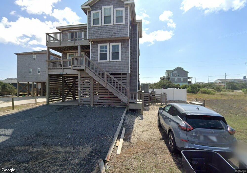
46077 S Tower Cir Buxton, NC 27920
Buxton NeighborhoodEstimated Value: $594,000 - $758,000
4
Beds
4
Baths
2,288
Sq Ft
$296/Sq Ft
Est. Value
About This Home
This home is located at 46077 S Tower Cir, Buxton, NC 27920 and is currently estimated at $677,339, approximately $296 per square foot. 46077 S Tower Cir is a home with nearby schools including Cape Hatteras Elementary School and Cape Hatteras Secondary School.
Ownership History
Date
Name
Owned For
Owner Type
Purchase Details
Closed on
Dec 20, 2011
Sold by
Gray Jack S and Gray Mary B
Bought by
Zissis Paul A and Zissis Priscilla M A
Current Estimated Value
Purchase Details
Closed on
Feb 14, 2001
Sold by
Gray Jack S and Gray Mary B
Bought by
Tipton John F
Home Financials for this Owner
Home Financials are based on the most recent Mortgage that was taken out on this home.
Original Mortgage
$40,000
Interest Rate
3.97%
Mortgage Type
Future Advance Clause Open End Mortgage
Create a Home Valuation Report for This Property
The Home Valuation Report is an in-depth analysis detailing your home's value as well as a comparison with similar homes in the area
Home Values in the Area
Average Home Value in this Area
Purchase History
| Date | Buyer | Sale Price | Title Company |
|---|---|---|---|
| Zissis Paul A | $64,000 | None Available | |
| Tipton John F | $72,000 | None Available |
Source: Public Records
Mortgage History
| Date | Status | Borrower | Loan Amount |
|---|---|---|---|
| Previous Owner | Tipton John F | $40,000 |
Source: Public Records
Tax History Compared to Growth
Tax History
| Year | Tax Paid | Tax Assessment Tax Assessment Total Assessment is a certain percentage of the fair market value that is determined by local assessors to be the total taxable value of land and additions on the property. | Land | Improvement |
|---|---|---|---|---|
| 2024 | $3,555 | $430,400 | $78,800 | $351,600 |
| 2023 | $3,555 | $444,464 | $78,800 | $365,664 |
| 2022 | $3,511 | $444,464 | $78,800 | $365,664 |
| 2021 | $3,315 | $425,016 | $78,800 | $346,216 |
| 2020 | $3,309 | $425,016 | $78,800 | $346,216 |
| 2019 | $3,263 | $334,400 | $68,800 | $265,600 |
| 2018 | $3,263 | $334,400 | $68,800 | $265,600 |
| 2017 | $3,263 | $334,400 | $68,800 | $265,600 |
| 2016 | $3,124 | $334,400 | $68,800 | $265,600 |
| 2014 | -- | $68,800 | $68,800 | $0 |
Source: Public Records
Map
Nearby Homes
- 0 Old Lighthouse Rd Unit Lot 1 125307
- 46067 Cape Ct
- 46017 S Tower Cir Unit Lot 7
- 46048 Cape Ct Unit Lot 5
- 46065 Cape Point Way Unit Lot 58
- 0 Cape Point Way Unit Lot 55 130508
- 0 Cape Point Way Unit Lot 55 130488
- 46105 Cape Point Way Unit Lot 61
- 46081 Ocean Dr Unit Lot 31
- 46457 Diamond Shoals Dr Unit Lot 34
- 46020 Little Kinnakeet Cir Unit 2
- 46020 Little Kinnakeet Cir Unit A
- 46084 Cape Hatteras Ln Unit 28
- 46084 Cape Hatteras Ln Unit 29
- 0 Rocky Rollinson Rd Unit 126330
- 47359 N Carolina Highway 12
- 47226 Rocky Rollinson Rd Unit Lot 1
- 47232 Rocky Rollinson Rd Unit Lot 2
- 47275 Dippin Vat Rd Unit Lot 12-5
- 47551 Buxton Back Rd
- 46243 Old Lighthouse Rd
- 46061 S Tower Cir
- 46051 S Tower Cir
- 46239 Old Lighthouse Rd
- 46072 Cape Ct
- 46058 Cape Ct
- 46058 Cape Ct Unit Lot 3
- 46215 S Tower Cir Unit Lot 1
- 46215 S Tower Cir
- 46256 Old Lighthouse Rd
- 46094 Cape Ct Unit 1
- 46094 Cape Ct
- 46094 Cape Hatteras Ln Unit 26
- 46239 Lighthouse Rd
- 46239 Lighthouse Rd
- 46037 S Tower Circle Rd Unit Lot 5
- 46037 S Tower Circle Rd
- 46244 Old Lighthouse Rd
- 0 Old Lighthouse Rd
- 46009 Buxton Pointe Ct