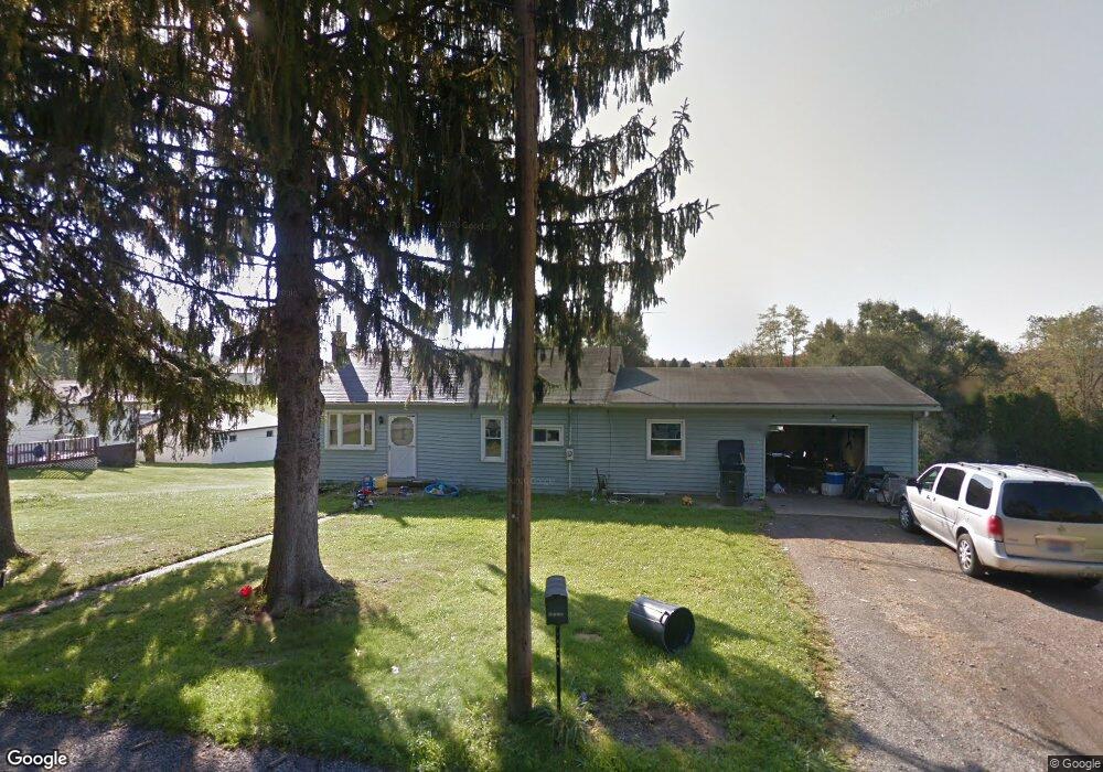
46079 Wyoming Ave East Liverpool, OH 43920
Estimated Value: $138,000 - $164,804
3
Beds
2
Baths
1,224
Sq Ft
$121/Sq Ft
Est. Value
About This Home
This home is located at 46079 Wyoming Ave, East Liverpool, OH 43920 and is currently estimated at $148,701, approximately $121 per square foot. 46079 Wyoming Ave is a home located in Columbiana County with nearby schools including Westgate Middle School, LaCroft Elementary School, and East Liverpool High School.
Ownership History
Date
Name
Owned For
Owner Type
Purchase Details
Closed on
Jun 2, 2004
Sold by
Boso Helen J
Bought by
Reardon James P
Current Estimated Value
Home Financials for this Owner
Home Financials are based on the most recent Mortgage that was taken out on this home.
Original Mortgage
$92,500
Outstanding Balance
$45,399
Interest Rate
6.06%
Mortgage Type
Purchase Money Mortgage
Estimated Equity
$103,302
Purchase Details
Closed on
Mar 10, 2003
Sold by
Estate Of Raymond E Boso
Bought by
Boso Helen J
Create a Home Valuation Report for This Property
The Home Valuation Report is an in-depth analysis detailing your home's value as well as a comparison with similar homes in the area
Home Values in the Area
Average Home Value in this Area
Purchase History
| Date | Buyer | Sale Price | Title Company |
|---|---|---|---|
| Reardon James P | $92,500 | -- | |
| Boso Helen J | -- | -- |
Source: Public Records
Mortgage History
| Date | Status | Borrower | Loan Amount |
|---|---|---|---|
| Open | Reardon James P | $92,500 |
Source: Public Records
Tax History Compared to Growth
Tax History
| Year | Tax Paid | Tax Assessment Tax Assessment Total Assessment is a certain percentage of the fair market value that is determined by local assessors to be the total taxable value of land and additions on the property. | Land | Improvement |
|---|---|---|---|---|
| 2024 | $1,304 | $35,040 | $4,830 | $30,210 |
| 2023 | $1,305 | $35,040 | $4,830 | $30,210 |
| 2022 | $1,306 | $35,040 | $4,830 | $30,210 |
| 2021 | $1,136 | $28,040 | $4,270 | $23,770 |
| 2020 | $1,138 | $28,040 | $4,270 | $23,770 |
| 2019 | $1,138 | $28,040 | $4,270 | $23,770 |
| 2018 | $1,069 | $24,610 | $3,750 | $20,860 |
| 2017 | $1,051 | $24,610 | $3,750 | $20,860 |
| 2016 | $1,049 | $26,080 | $5,180 | $20,900 |
| 2015 | $1,127 | $26,080 | $5,180 | $20,900 |
| 2014 | $1,111 | $26,080 | $5,180 | $20,900 |
Source: Public Records
Map
Nearby Homes
- 46150 Y and O Rd
- 45804 Yeager Dr
- 16104 State Route 267
- 16467 Staunton Ave
- 1952 Dunn Rd
- 15782 Vale St
- 17140 Cannons Mill Rd
- 46835 Mary St
- 16573 Annesley Rd
- 15054 Strader Rd
- 2492 Irish Ridge Rd
- 0 Rodaman
- 46690 Winston Dr
- 15904 E Liverpool Rd
- 16007 Simmons St
- 967 7th Ave
- 14614 E Liverpool Rd
- 14540 Birch Rd
- 602 9th Ave
- 2476 Lisbon St
- 46101 Wyoming Ave
- 46035 Wyoming Ave
- 16375 Lyle St
- 46117 Wyoming Ave
- 46129 Wyoming Ave
- 46074 Wyoming Ave
- 46137 Ross St
- 46137 Wyoming Ave
- 46114 Wyoming Ave
- 46009 Wyoming Ave
- 46147 Wyoming Ave
- 46128 Wyoming Ave
- 46033 Wyoming Ave
- 46161 Wyoming Ave
- 46150 Wyoming Ave
- 16435 Lyle St
- 16421 Lyle St
- 16255 Lyle St
- 46127 Ross St
- 46150 Ross St