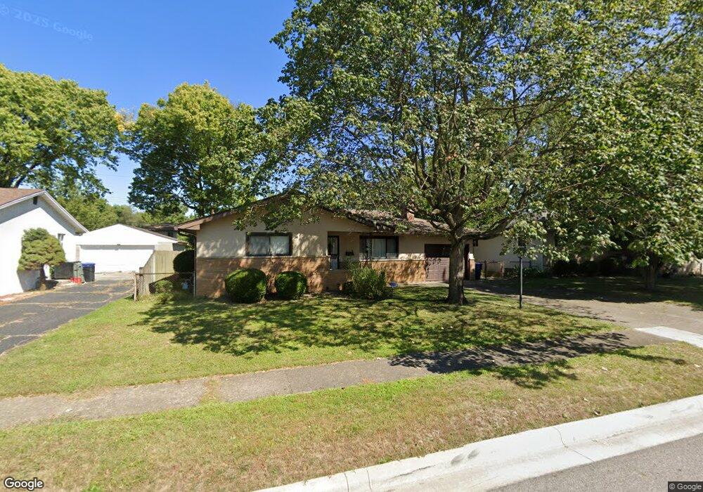
4608 Belfast Dr Columbus, OH 43227
Leawood NeighborhoodEstimated Value: $216,216 - $254,000
3
Beds
2
Baths
1,272
Sq Ft
$186/Sq Ft
Est. Value
About This Home
This home is located at 4608 Belfast Dr, Columbus, OH 43227 and is currently estimated at $236,304, approximately $185 per square foot. 4608 Belfast Dr is a home located in Franklin County with nearby schools including Leawood Elementary School, Sherwood Middle School, and Walnut Ridge High School.
Ownership History
Date
Name
Owned For
Owner Type
Purchase Details
Closed on
Oct 19, 2007
Sold by
Hart Sherri G and Nistelbeck Karen J
Bought by
Romero Maria M
Current Estimated Value
Home Financials for this Owner
Home Financials are based on the most recent Mortgage that was taken out on this home.
Original Mortgage
$110,105
Outstanding Balance
$69,348
Interest Rate
6.38%
Mortgage Type
Purchase Money Mortgage
Estimated Equity
$166,956
Purchase Details
Closed on
Apr 29, 1985
Bought by
Hart Sherri G
Purchase Details
Closed on
Nov 1, 1984
Create a Home Valuation Report for This Property
The Home Valuation Report is an in-depth analysis detailing your home's value as well as a comparison with similar homes in the area
Home Values in the Area
Average Home Value in this Area
Purchase History
| Date | Buyer | Sale Price | Title Company |
|---|---|---|---|
| Romero Maria M | $115,900 | Talon Group | |
| Hart Sherri G | $55,500 | -- | |
| -- | $52,000 | -- |
Source: Public Records
Mortgage History
| Date | Status | Borrower | Loan Amount |
|---|---|---|---|
| Open | Romero Maria M | $110,105 |
Source: Public Records
Tax History Compared to Growth
Tax History
| Year | Tax Paid | Tax Assessment Tax Assessment Total Assessment is a certain percentage of the fair market value that is determined by local assessors to be the total taxable value of land and additions on the property. | Land | Improvement |
|---|---|---|---|---|
| 2024 | $2,751 | $61,290 | $14,040 | $47,250 |
| 2023 | $2,716 | $61,285 | $14,035 | $47,250 |
| 2022 | $2,008 | $38,720 | $6,550 | $32,170 |
| 2021 | $2,012 | $38,720 | $6,550 | $32,170 |
| 2020 | $2,014 | $38,720 | $6,550 | $32,170 |
| 2019 | $1,884 | $31,050 | $5,250 | $25,800 |
| 2018 | $1,800 | $31,050 | $5,250 | $25,800 |
| 2017 | $1,882 | $31,050 | $5,250 | $25,800 |
| 2016 | $1,895 | $28,600 | $5,850 | $22,750 |
| 2015 | $1,720 | $28,600 | $5,850 | $22,750 |
| 2014 | $1,724 | $28,600 | $5,850 | $22,750 |
| 2013 | $1,000 | $33,635 | $6,860 | $26,775 |
Source: Public Records
Map
Nearby Homes
- 4589 Belfast Dr
- 1691 Shady Lane Rd
- 4701 Janis Dr
- 4475 Ellery Dr
- 1678 Huxley Dr
- 1607 Shady Lane Rd
- 1787 Lattimer Dr
- 4571 Aragon Ave
- 1563 Genoa Place
- 1571 Baxter Dr
- 1693 Gaynor Rd
- 4677 E Livingston Ave
- 1752 S Hamilton Rd
- 1618 S Hamilton Rd
- 1543 S Hamilton Rd
- 4467 Grimsby Rd
- 4484 Grimsby Rd
- 4501 Amesbury Rd
- 5036 Brinwood Place
- 4530 Amesbury Rd
- 4618 Belfast Dr
- 4600 Belfast Dr
- 4615 Healy Dr
- 4623 Healy Dr
- 4626 Belfast Dr
- 4605 Healy Dr
- 4590 Belfast Dr
- 4605 Belfast Dr
- 4611 Belfast Dr
- 4631 Healy Dr
- 4597 Belfast Dr
- 4597 Healy Dr
- 4621 Belfast Dr
- 4634 Belfast Dr
- 4580 Belfast Dr
- 4639 Healy Dr
- 4642 Belfast Dr
- 4581 Belfast Dr
- 4618 Healy Dr
- 1750 Shady Lane Rd