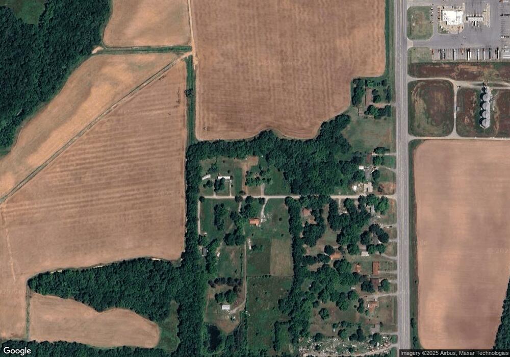
4609 Crofford Rd Pine Bluff, AR 71601
Estimated Value: $30,419 - $70,000
Studio
--
Bath
960
Sq Ft
$55/Sq Ft
Est. Value
About This Home
This home is located at 4609 Crofford Rd, Pine Bluff, AR 71601 and is currently estimated at $53,140, approximately $55 per square foot. 4609 Crofford Rd is a home with nearby schools including Matthews Elementary School and Dollarway High School.
Ownership History
Date
Name
Owned For
Owner Type
Purchase Details
Closed on
Sep 6, 2016
Sold by
Craig Dennis Leon and Craig Rebecca Ann
Bought by
Ashmore Kevin and Ashmore Amanda
Current Estimated Value
Home Financials for this Owner
Home Financials are based on the most recent Mortgage that was taken out on this home.
Original Mortgage
$6,800
Interest Rate
3.45%
Mortgage Type
New Conventional
Purchase Details
Closed on
Apr 26, 1994
Bought by
Craig Dennis Leon and Craig Wf
Create a Home Valuation Report for This Property
The Home Valuation Report is an in-depth analysis detailing your home's value as well as a comparison with similar homes in the area
Purchase History
| Date | Buyer | Sale Price | Title Company |
|---|---|---|---|
| Ashmore Kevin | $8,000 | Pine Bluff Title | |
| Craig Dennis Leon | $1,000 | -- |
Source: Public Records
Mortgage History
| Date | Status | Borrower | Loan Amount |
|---|---|---|---|
| Closed | Ashmore Kevin | $6,800 |
Source: Public Records
Tax History
| Year | Tax Paid | Tax Assessment Tax Assessment Total Assessment is a certain percentage of the fair market value that is determined by local assessors to be the total taxable value of land and additions on the property. | Land | Improvement |
|---|---|---|---|---|
| 2025 | $163 | $2,850 | $2,730 | $120 |
| 2024 | $190 | $2,850 | $2,730 | $120 |
| 2023 | $177 | $4,940 | $2,730 | $2,210 |
| 2022 | $151 | $2,220 | $1,060 | $1,160 |
| 2021 | $151 | $2,220 | $1,060 | $1,160 |
| 2020 | $151 | $2,220 | $1,060 | $1,160 |
| 2019 | $146 | $2,220 | $1,060 | $1,160 |
| 2018 | $114 | $2,220 | $1,060 | $1,160 |
| 2017 | $140 | $2,090 | $1,060 | $1,030 |
| 2016 | $57 | $1,060 | $1,060 | $0 |
| 2015 | $57 | $1,060 | $1,060 | $0 |
| 2014 | -- | $1,060 | $1,060 | $0 |
Source: Public Records
Map
Nearby Homes
- 4300 S Hwy 65
- 4130 Highway 65
- TBD E 6th Ave
- 3705 Mobile St
- Tract G Osborn Rd
- Tract C Osborn Rd
- Tract B Osborn Rd
- 00 Osborn Rd
- Tract F Osborn Rd
- 3407 U S 65
- 2608 Belair Dr S
- 0 U S 79
- 2713 Claremont Ave
- 1902 E 38th Ave
- 000 E 38th Ave
- 1401 Ashley Dr
- 1503 Collins Dr
- 1300 Avondale Dr
- 1309 Bailey Dr
- 1302 Boston Dr
- 4610 Crofford Rd
- 4718 Crofford Rd
- 224 Highway 425
- 226 Highway 425
- 220 Highway 425
- 300 Highway 425
- 316 Highway 425
- 308 U S 425
- 308 Highway 425
- 200 Highway 425
- 320 Highway 425
- 326 Highway 425
- 330 Highway 425
- 334 Highway 425
- 213 Us Highway 425 S
- 4712 U S 65
- 4712 Highway 65 S
- 0 Highway 425 Unit 10377360
- 0 Highway 425 Unit 20018390
- 401 Highway 425
