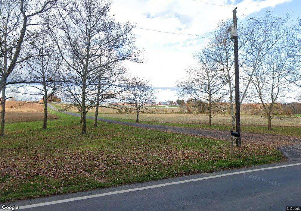
4609 Damascus Rd Gaithersburg, MD 20882
Estimated Value: $1,738,000 - $3,265,718
8
Beds
6
Baths
12,973
Sq Ft
$193/Sq Ft
Est. Value
About This Home
This home is located at 4609 Damascus Rd, Gaithersburg, MD 20882 and is currently estimated at $2,501,859, approximately $192 per square foot. 4609 Damascus Rd is a home located in Montgomery County with nearby schools including Greenwood Elementary School, Rosa M. Parks Middle School, and Sherwood High School.
Ownership History
Date
Name
Owned For
Owner Type
Purchase Details
Closed on
Apr 27, 2015
Sold by
Tusculum Farm Trust
Bought by
Eya/Csp Associates Llc
Current Estimated Value
Purchase Details
Closed on
Dec 19, 2012
Sold by
Tusculum Farm Trust
Bought by
Cmf Development Llc
Purchase Details
Closed on
Aug 16, 2005
Sold by
Freeman Virginia
Bought by
Freeman Joshua M Tr
Purchase Details
Closed on
Jul 18, 2000
Sold by
Freeman Carl M
Bought by
Freeman Virginia
Create a Home Valuation Report for This Property
The Home Valuation Report is an in-depth analysis detailing your home's value as well as a comparison with similar homes in the area
Home Values in the Area
Average Home Value in this Area
Purchase History
| Date | Buyer | Sale Price | Title Company |
|---|---|---|---|
| Eya/Csp Associates Llc | $475,000 | Capitol Title Insurance Agen | |
| Cmf Development Llc | $220,000 | None Available | |
| Freeman Joshua M Tr | -- | -- | |
| Freeman Virginia | -- | -- |
Source: Public Records
Tax History Compared to Growth
Tax History
| Year | Tax Paid | Tax Assessment Tax Assessment Total Assessment is a certain percentage of the fair market value that is determined by local assessors to be the total taxable value of land and additions on the property. | Land | Improvement |
|---|---|---|---|---|
| 2025 | $32,263 | $2,904,800 | -- | -- |
| 2024 | $32,263 | $2,758,500 | $0 | $0 |
| 2023 | $31,269 | $2,612,200 | $697,600 | $1,914,600 |
| 2022 | $25,914 | $2,368,700 | $0 | $0 |
| 2021 | $20,457 | $2,125,200 | $0 | $0 |
| 2020 | $20,457 | $1,881,700 | $675,200 | $1,206,500 |
| 2019 | $20,416 | $1,879,967 | $0 | $0 |
| 2018 | $20,426 | $1,878,233 | $0 | $0 |
| 2017 | $20,786 | $1,876,500 | $0 | $0 |
| 2016 | $22,402 | $1,778,767 | $0 | $0 |
| 2015 | $22,402 | $1,681,300 | $0 | $0 |
| 2014 | $22,402 | $1,583,700 | $0 | $0 |
Source: Public Records
Map
Nearby Homes
- 22350 Flintridge Dr
- 2 Griffith Ct
- 21612 Ripplemead Dr
- 2609 Sunshine Ct
- 3738 Damascus Rd
- 0 Damascus Rd
- 2512 Sapling Ridge Ln
- 3433 Gregg Rd
- 2686 Jennings Chapel Rd
- 21816 Gaithers Meadow Ln
- 7201 Hawkins Creamery Rd
- 237 Barberry Ln
- 6001 Riggs Rd
- 3734 Sofia Ct
- 21605 New Hampshire Ave
- 15309 Leondina Dr
- 21603 New Hampshire Ave
- 3185 Jennings Chapel Rd
- 21723 Rolling Ridge Ln
- 3595 Willow Birch Dr
- 4805 Damascus Rd
- 4925 Damascus Rd
- 4800 Damascus Rd
- 4810 Damascus Rd
- 4920 Damascus Rd
- 4910 Damascus Rd
- 4900 Damascus Rd
- 4500 Damascus Rd
- 5001 Damascus Rd
- 4930 Damascus Rd
- 5000 Damascus Rd
- 5025 Damascus Rd
- 3800 Elton Farm Rd
- 5035 Damascus Rd
- 4430 Damascus Rd
- 5049 Damascus Rd
- 4330 Damascus Rd
- 5105 Griffith Rd
- 5037 Damascus Rd
- 4021 Damascus Rd