46092 W 5375 S Fruitland, UT 84027
Estimated Value: $503,000 - $627,000
3
Beds
2
Baths
3,353
Sq Ft
$167/Sq Ft
Est. Value
About This Home
This home is located at 46092 W 5375 S, Fruitland, UT 84027 and is currently estimated at $558,578, approximately $166 per square foot. 46092 W 5375 S is a home located in Duchesne County with nearby schools including Tabiona School.
Ownership History
Date
Name
Owned For
Owner Type
Purchase Details
Closed on
Oct 27, 2020
Sold by
Ford Matthew E and Ford Paige N
Bought by
Mcphie Trevor D
Current Estimated Value
Home Financials for this Owner
Home Financials are based on the most recent Mortgage that was taken out on this home.
Original Mortgage
$177,500
Interest Rate
2.7%
Mortgage Type
Construction
Create a Home Valuation Report for This Property
The Home Valuation Report is an in-depth analysis detailing your home's value as well as a comparison with similar homes in the area
Home Values in the Area
Average Home Value in this Area
Purchase History
| Date | Buyer | Sale Price | Title Company |
|---|---|---|---|
| Mcphie Trevor D | -- | Us Title Ins Agcy |
Source: Public Records
Mortgage History
| Date | Status | Borrower | Loan Amount |
|---|---|---|---|
| Previous Owner | Mcphie Trevor D | $177,500 |
Source: Public Records
Tax History Compared to Growth
Tax History
| Year | Tax Paid | Tax Assessment Tax Assessment Total Assessment is a certain percentage of the fair market value that is determined by local assessors to be the total taxable value of land and additions on the property. | Land | Improvement |
|---|---|---|---|---|
| 2025 | $3,184 | $516,930 | $99,160 | $417,770 |
| 2024 | $3,146 | $516,930 | $99,160 | $417,770 |
| 2023 | $3,146 | $520,750 | $102,980 | $417,770 |
| 2022 | $3,989 | $580,205 | $89,980 | $490,225 |
| 2021 | $2,565 | $327,892 | $44,740 | $283,152 |
| 2020 | $2,267 | $295,317 | $44,740 | $250,577 |
| 2019 | $2,255 | $295,317 | $44,740 | $250,577 |
| 2018 | $1,933 | $244,385 | $44,740 | $199,645 |
| 2017 | $1,681 | $0 | $0 | $0 |
| 2016 | $2,013 | $0 | $0 | $0 |
| 2015 | $1,900 | $0 | $0 | $0 |
| 2014 | $1,871 | $272,256 | $41,497 | $230,759 |
| 2013 | $1,658 | $235,731 | $37,740 | $197,991 |
Source: Public Records
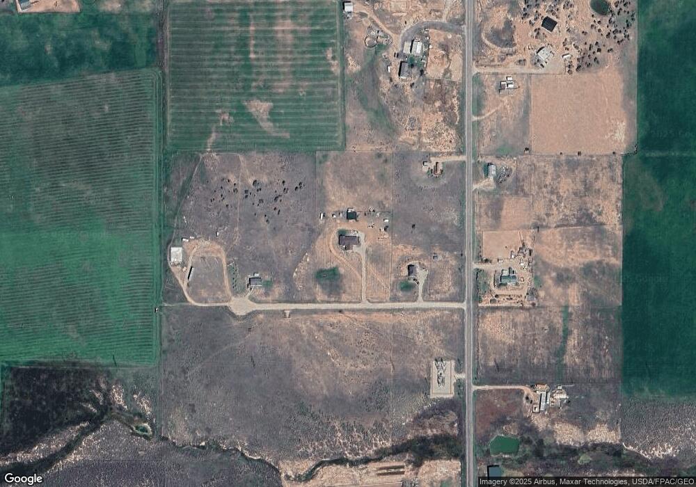
Map
Nearby Homes
- 46293 W 5000 S
- Tax Id 00-0035-1801
- 45050 W 6300 S
- 45450 W Cedar Rock Rd
- 7775 S 45125 W
- 45711 W Colt Rd Unit 131
- 46864 Thunder Ridge Rd Unit 204
- 45257 Bandanna Dr
- 26 Bandanna Dr
- 46247 Bandanna Dr
- 46250 Bandanna Dr
- 1841 S Stagecoach Rd
- 915 S Stagecoach Rd Unit 8
- 45088 W 6560 S
- 46997 W Thunder Ridge Rd
- 39775 W 6820 S
- 42724 W 7625 S Unit 20A
- 46446 W Airport Rd Unit 249
- 46511 W Thunder Ridge Rd N Unit 173
- 43 S Hidden W
- 46042 W 5375 S
- 46042 W 5375 S Unit 1E
- 46154 W 5375 S
- 5264 S 46000 W Unit 1A
- 5351 S 46000 W
- 46164 W 5375 S Unit 3
- 46164 W 5375 S Unit 4
- 5150 S 46000 W
- 46293 W 5000 S
- 46293 5000 S
- 46363 W 5000 S
- 5191 S 46500 W
- 45904 W 5000 S
- 45924 W 45904 W 5000 S
- 45818 W 5000 S
- 4811 S 45000 W
- 4811 S 46000 W
- 46497 W 5000 S
- 45806 W 5000 S
- 5955 S 46000 W