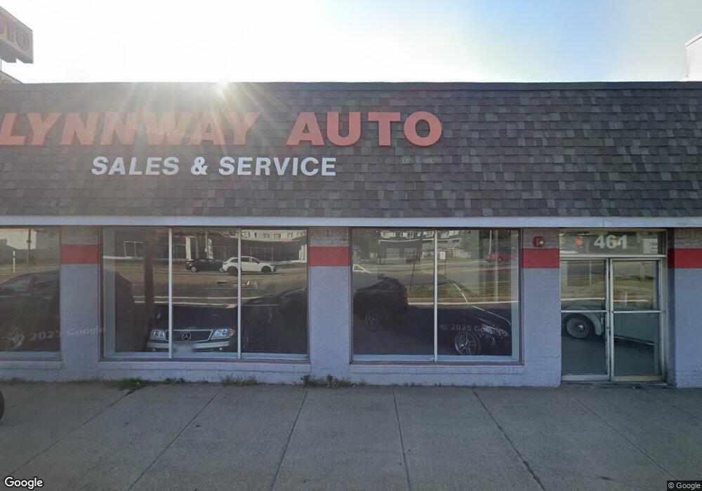
461 Broad St Lynn, MA 01901
Downtown Lynn NeighborhoodEstimated Value: $1,123,225
Studio
2
Baths
8,807
Sq Ft
$128/Sq Ft
Est. Value
About This Home
This home is located at 461 Broad St, Lynn, MA 01901 and is currently estimated at $1,123,225, approximately $127 per square foot. 461 Broad St is a home located in Essex County with nearby schools including Washington Elementary School, William R. Fallon School, and Fecteau-Leary Junior/Senior High School.
Ownership History
Date
Name
Owned For
Owner Type
Purchase Details
Closed on
Dec 3, 2012
Sold by
Consolidated Warehouse and Bloomberg
Bought by
461 Broad Street Rt and Aswad
Current Estimated Value
Home Financials for this Owner
Home Financials are based on the most recent Mortgage that was taken out on this home.
Original Mortgage
$236,000
Outstanding Balance
$162,573
Interest Rate
3.4%
Mortgage Type
Commercial
Estimated Equity
$960,652
Create a Home Valuation Report for This Property
The Home Valuation Report is an in-depth analysis detailing your home's value as well as a comparison with similar homes in the area
Home Values in the Area
Average Home Value in this Area
Purchase History
| Date | Buyer | Sale Price | Title Company |
|---|---|---|---|
| 461 Broad Street Rt | $500,000 | -- |
Source: Public Records
Mortgage History
| Date | Status | Borrower | Loan Amount |
|---|---|---|---|
| Open | 461 Broad Street Rt | $236,000 |
Source: Public Records
Tax History
| Year | Tax Paid | Tax Assessment Tax Assessment Total Assessment is a certain percentage of the fair market value that is determined by local assessors to be the total taxable value of land and additions on the property. | Land | Improvement |
|---|---|---|---|---|
| 2025 | $15,070 | $758,800 | $481,100 | $277,700 |
| 2024 | $14,413 | $714,200 | $457,600 | $256,600 |
| 2023 | $14,065 | $658,800 | $424,400 | $234,400 |
| 2022 | $13,388 | $564,900 | $367,200 | $197,700 |
| 2021 | $14,134 | $564,900 | $367,200 | $197,700 |
| 2020 | $14,474 | $559,500 | $367,200 | $192,300 |
| 2019 | $14,134 | $511,900 | $319,600 | $192,300 |
| 2018 | $14,557 | $494,300 | $299,400 | $194,900 |
| 2017 | $14,991 | $488,800 | $299,400 | $189,400 |
| 2016 | $15,065 | $469,900 | $287,800 | $182,100 |
| 2015 | -- | $469,900 | $287,800 | $182,100 |
Source: Public Records
Map
Nearby Homes
- 49 Munroe St Unit 201
- 154 Lynnway Unit 210
- 154 Lynnway Unit 401
- 154 Lynnway Unit 205
- 54 Central Square Unit 4A
- 7 Central Square Unit 307
- 13 Willow St Unit 206
- 10 Pleasant St Unit 205
- 98 Lynnway
- 66 Sagamore St
- 70 Exchange St Unit 206
- 50 S Common St Unit 508
- 50 S Common St Unit 405
- 589 Essex St Unit 102
- 42 W Baltimore St Unit 18
- 0 High St
- 12 Chancery Ct Unit 404
- 26 Sagamore St
- 13 Nahant St Unit 2D
- 13 Nahant St Unit 3A
- 451 Broad St
- 9999 Main Confidential St
- 0 Grand View Ave (Lots 58-59) Unit 73204449
- xx Google Maps
- 276 Lynnway
- 260 Lynnway
- 161B Pleasant St
- 161 Pleasant St
- 299 Lynnway
- 16 Alley St
- 12 Alley St
- 148 Pleasant St
- 26 Alley St
- 254-258 Lynnway Pkwy
- 254-258 Lynnway Pkwy
- 315 Lynnway
- 381 Broad St
- 9999 Verybusy St
- Corner Lynnway
- 0000 Busy St
Your Personal Tour Guide
Ask me questions while you tour the home.