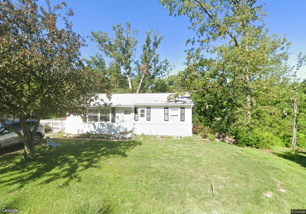
461 Brookside Ln Hillsboro, MO 63050
Hillsboro AreaEstimated Value: $177,376 - $198,000
About This Home
This home is located at 461 Brookside Ln, Hillsboro, MO 63050 and is currently estimated at $190,594, approximately $208 per square foot. 461 Brookside Ln is a home with nearby schools including Hillsboro Middle Elementary School, Hillsboro Elementary School, and Hillsboro Primary School.
Ownership History
We collect this data history from publicly available records. To have your information removed, we recommend requesting removal directly through your county’s website.
Purchase Details
Home Financials for this Owner
Home Financials are based on the most recent Mortgage that was taken out on this home.Purchase Details
Home Values in the Area
Average Home Value in this Area
Purchase History
We collect this data history from publicly available records. To have your information removed, we recommend requesting removal directly through your county’s website.
| Date | Buyer | Sale Price | Title Company |
|---|---|---|---|
| -- | None Listed On Document | ||
| -- | -- |
Mortgage History
We collect this data history from publicly available records. To have your information removed, we recommend requesting removal directly through your county’s website.
| Date | Status | Borrower | Loan Amount |
|---|---|---|---|
| Open | $45,000 |
Tax History
We collect this data history from publicly available records. To have your information removed, we recommend requesting removal directly through your county’s website.
| Year | Tax Paid | Tax Assessment Tax Assessment Total Assessment is a certain percentage of the fair market value that is determined by local assessors to be the total taxable value of land and additions on the property. | Land | Improvement |
|---|---|---|---|---|
| 2025 | $722 | $12,700 | $1,500 | $11,200 |
| 2024 | $722 | $11,700 | $1,500 | $10,200 |
| 2023 | $722 | $11,700 | $1,500 | $10,200 |
| 2022 | $725 | $11,700 | $1,500 | $10,200 |
| 2021 | $777 | $11,700 | $1,500 | $10,200 |
| 2020 | $704 | $10,300 | $1,200 | $9,100 |
| 2019 | $704 | $10,300 | $1,200 | $9,100 |
| 2018 | $707 | $10,300 | $1,200 | $9,100 |
| 2017 | $709 | $10,300 | $1,200 | $9,100 |
| 2016 | $702 | $9,700 | $1,500 | $8,200 |
| 2015 | -- | $9,700 | $1,500 | $8,200 |
Map
- 635 Elm St
- 0 Lot 62 01 Acres Unit 23042037
- 10865 Business 21
- 830 Hawks Circle Dr
- 5646 Hawks Landing Dr
- 6005 Elm
- 4625 Cedar Dr
- 10270 State Road Bb
- 6360 State Road B
- 758 Blake
- 726 Blake Dr
- 721 Blake Dr
- 745 Blake Dr
- 0 Hawk Ridge Estates Augusta Model Unit MIS25075139
- 0 Hawk Ridge Estates Walnut Model Unit MIS25075019
- 746 Blake Dr
- 738 Blake Dr
- 722 Blake Dr
- 713 Blake Dr
- 0
Ask me questions while you tour the home.