461 Camp Hebron Rd Unit B Halifax, PA 17032
Halifax Township NeighborhoodEstimated Value: $148,000 - $171,000
3
Beds
2
Baths
1,352
Sq Ft
$119/Sq Ft
Est. Value
About This Home
This home is located at 461 Camp Hebron Rd Unit B, Halifax, PA 17032 and is currently estimated at $160,801, approximately $118 per square foot. 461 Camp Hebron Rd Unit B is a home located in Dauphin County with nearby schools including Halifax Elementary School, Halifax Area Middle School, and Halifax Area High School.
Ownership History
Date
Name
Owned For
Owner Type
Purchase Details
Closed on
Sep 9, 2024
Sold by
Rode Daniel J and Rode Jeffery L
Bought by
Desrosiers Kayla S
Current Estimated Value
Home Financials for this Owner
Home Financials are based on the most recent Mortgage that was taken out on this home.
Original Mortgage
$112,000
Outstanding Balance
$110,802
Interest Rate
6.73%
Mortgage Type
New Conventional
Estimated Equity
$49,999
Purchase Details
Closed on
Mar 8, 2022
Sold by
Rode David A and Rode Gloria J
Bought by
Rode Daniel J and Rode Jeffery L
Create a Home Valuation Report for This Property
The Home Valuation Report is an in-depth analysis detailing your home's value as well as a comparison with similar homes in the area
Home Values in the Area
Average Home Value in this Area
Purchase History
| Date | Buyer | Sale Price | Title Company |
|---|---|---|---|
| Desrosiers Kayla S | $140,000 | None Listed On Document | |
| Rode Daniel J | -- | Kerwin & Kerwin Llp |
Source: Public Records
Mortgage History
| Date | Status | Borrower | Loan Amount |
|---|---|---|---|
| Open | Desrosiers Kayla S | $112,000 |
Source: Public Records
Tax History Compared to Growth
Tax History
| Year | Tax Paid | Tax Assessment Tax Assessment Total Assessment is a certain percentage of the fair market value that is determined by local assessors to be the total taxable value of land and additions on the property. | Land | Improvement |
|---|---|---|---|---|
| 2025 | $4,512 | $126,000 | $20,200 | $105,800 |
| 2024 | $4,150 | $126,000 | $20,200 | $105,800 |
| 2023 | $3,989 | $126,000 | $20,200 | $105,800 |
| 2022 | $3,861 | $126,000 | $20,200 | $105,800 |
| 2021 | $3,861 | $126,000 | $20,200 | $105,800 |
| 2020 | $3,861 | $126,000 | $20,200 | $105,800 |
| 2019 | $3,861 | $126,000 | $20,200 | $105,800 |
| 2018 | $3,861 | $126,000 | $20,200 | $105,800 |
| 2017 | $3,861 | $126,000 | $20,200 | $105,800 |
| 2016 | $0 | $111,100 | $20,200 | $90,900 |
| 2015 | -- | $111,100 | $20,200 | $90,900 |
| 2014 | -- | $111,100 | $20,200 | $90,900 |
Source: Public Records
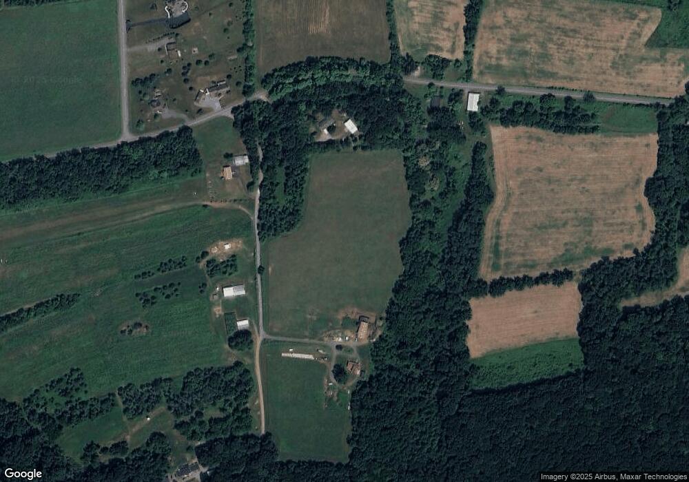
Map
Nearby Homes
- 3209 Peters Mountain Rd
- 3059 Peters Mountain Rd
- 32 Lauren Ln
- LOT 12 Powells Valley Rd L12
- 9 Dustin Dr
- 4 Dustin Dr
- 36 Dustin Dr
- 48 Dustin Dr
- 69 Oak Ave
- 73 Oak Ave
- 0 Jacobs Church Rd
- Lot 6 Route 147
- 741 S River Rd
- 174 Highland Ln
- 41 S 3rd St
- 15 N 5th St
- 217 Market St
- 207 Market St
- 28 N 4th St
- 33 N 4th St
- 461 Camp Hebron Rd
- 461A Camp Hebron Rd
- 468 Camp Hebron Rd
- 442 Camp Hebron Rd
- 225 Konick Rd
- 527 Camp Hebron Rd
- 527 Camp Hebron Rd
- 217 Konick Rd
- 465 Camp Hebron Rd
- 42 Dusty Trail Dr
- 0 Camp Hebron Rd Unit PADA2029078
- 0 Camp Hebron Rd
- 175 Konick Rd
- 35 Saw Mill Rd
- Lot 1 Creekside Dr
- 615 Camp Hebron Rd
- 144 Konick Rd
- 36 Creekside Dr
- 70 Saw Mill Rd
- 88 Saw Mill Rd