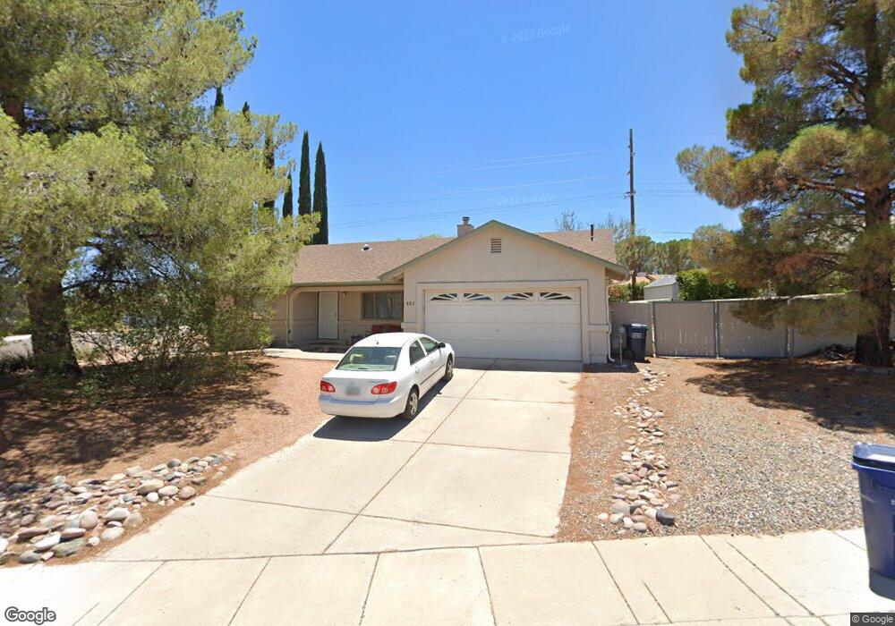
461 Casner Dr Clarkdale, AZ 86324
Estimated Value: $381,553 - $479,000
About This Home
This home is located at 461 Casner Dr, Clarkdale, AZ 86324 and is currently estimated at $450,138, approximately $307 per square foot. 461 Casner Dr is a home located in Yavapai County with nearby schools including Cottonwood Elementary School, Dr Daniel Bright Elementary School, and Cottonwood Community School.
Ownership History
We collect this data history from publicly available records. To have your information removed, we recommend requesting removal directly through your county’s website.
Purchase Details
Home Financials for this Owner
Home Financials are based on the most recent Mortgage that was taken out on this home.Purchase Details
Home Financials for this Owner
Home Financials are based on the most recent Mortgage that was taken out on this home.Purchase Details
Home Financials for this Owner
Home Financials are based on the most recent Mortgage that was taken out on this home.Purchase Details
Home Values in the Area
Average Home Value in this Area
Purchase History
We collect this data history from publicly available records. To have your information removed, we recommend requesting removal directly through your county’s website.
| Date | Buyer | Sale Price | Title Company |
|---|---|---|---|
| $200,000 | Chicago Title Ins Co | ||
| $168,000 | Transnation Title Insurance | ||
| $131,000 | Capital Title Agency | ||
| $35,940 | Capital Title Agency |
Mortgage History
We collect this data history from publicly available records. To have your information removed, we recommend requesting removal directly through your county’s website.
| Date | Status | Borrower | Loan Amount |
|---|---|---|---|
| Open | $160,000 | ||
| Previous Owner | $159,600 | ||
| Previous Owner | $124,450 |
Tax History
We collect this data history from publicly available records. To have your information removed, we recommend requesting removal directly through your county’s website.
| Year | Tax Paid | Tax Assessment Tax Assessment Total Assessment is a certain percentage of the fair market value that is determined by local assessors to be the total taxable value of land and additions on the property. | Land | Improvement |
|---|---|---|---|---|
| 2027 | $2,086 | $27,021 | -- | -- |
| 2026 | $1,996 | $27,008 | -- | -- |
| 2024 | $1,928 | $26,221 | -- | -- |
| 2023 | $1,928 | $20,347 | $3,471 | $16,876 |
| 2022 | $1,897 | $17,046 | $2,404 | $14,642 |
| 2021 | $1,969 | $16,355 | $2,930 | $13,425 |
| 2020 | $1,933 | $0 | $0 | $0 |
| 2019 | $1,897 | $0 | $0 | $0 |
| 2018 | $1,822 | $0 | $0 | $0 |
| 2017 | $1,743 | $0 | $0 | $0 |
| 2016 | $1,703 | $0 | $0 | $0 |
| 2015 | -- | $0 | $0 | $0 |
| 2014 | -- | $0 | $0 | $0 |
Map
- 511 Casner Dr
- 1921 Old Jerome Hwy Unit 56
- 1881 Old Jerome Hwy Unit 54
- 570 Antelope Dr
- 320 Silver Lining Ct
- 571 Skyline Blvd Unit 242
- 240 Rogers Place
- 441 Skyline Blvd Unit 249
- 451 Skyline Blvd
- 1921 Crossroads Blvd Unit 137
- 222 Rogers Place
- 581 N Skyline Blvd Unit 241
- 661 Skyline Blvd Unit 44
- 671 Skyline Blvd Unit 43
- 1941 Crossroads Blvd
- 580 Everett Ln
- 560 Skyline Blvd
- 0000 Scenic Dr
- 411 Skyline Blvd Unit 51
- 2070 Crossroads Blvd Unit 128
Ask me questions while you tour the home.