461 Cedar Mountain Rd Thomaston, CT 06787
Estimated Value: $540,000 - $609,000
3
Beds
3
Baths
2,488
Sq Ft
$229/Sq Ft
Est. Value
About This Home
This home is located at 461 Cedar Mountain Rd, Thomaston, CT 06787 and is currently estimated at $569,901, approximately $229 per square foot. 461 Cedar Mountain Rd is a home located in Litchfield County with nearby schools including Black Rock School, Thomaston Center School, and Thomaston High School.
Ownership History
Date
Name
Owned For
Owner Type
Purchase Details
Closed on
Nov 3, 2003
Sold by
Ho Baldino and Ho Zzi Custon
Bought by
Weaver Ii Ronald and Weaver Tricia
Current Estimated Value
Home Financials for this Owner
Home Financials are based on the most recent Mortgage that was taken out on this home.
Original Mortgage
$260,000
Interest Rate
6.05%
Create a Home Valuation Report for This Property
The Home Valuation Report is an in-depth analysis detailing your home's value as well as a comparison with similar homes in the area
Home Values in the Area
Average Home Value in this Area
Purchase History
| Date | Buyer | Sale Price | Title Company |
|---|---|---|---|
| Weaver Ii Ronald | $325,000 | -- |
Source: Public Records
Mortgage History
| Date | Status | Borrower | Loan Amount |
|---|---|---|---|
| Open | Weaver Ii Ronald | $265,000 | |
| Closed | Weaver Ii Ronald | $38,400 | |
| Closed | Weaver Ii Ronald | $260,000 |
Source: Public Records
Tax History
| Year | Tax Paid | Tax Assessment Tax Assessment Total Assessment is a certain percentage of the fair market value that is determined by local assessors to be the total taxable value of land and additions on the property. | Land | Improvement |
|---|---|---|---|---|
| 2025 | $9,638 | $269,150 | $71,890 | $197,260 |
| 2024 | $9,248 | $269,150 | $71,890 | $197,260 |
| 2023 | $9,052 | $269,150 | $71,890 | $197,260 |
| 2022 | $8,642 | $269,150 | $71,890 | $197,260 |
| 2021 | $8,576 | $237,370 | $65,380 | $171,990 |
| 2020 | $8,576 | $237,370 | $65,380 | $171,990 |
| 2019 | $8,671 | $237,370 | $65,380 | $171,990 |
| 2018 | $8,495 | $237,370 | $65,380 | $171,990 |
| 2017 | $8,320 | $237,370 | $65,380 | $171,990 |
| 2016 | $7,920 | $232,470 | $66,080 | $166,390 |
| 2015 | $7,818 | $232,470 | $66,080 | $166,390 |
| 2014 | $7,818 | $232,470 | $66,080 | $166,390 |
Source: Public Records
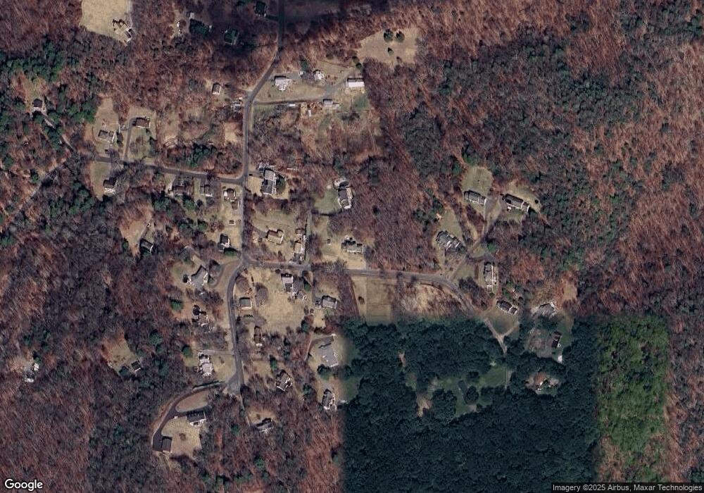
Map
Nearby Homes
- 143 Pine Hill Rd Unit 17A
- 143 Pine Hill Rd Unit 15F
- 24 W Lakeview Rd
- 311 Lake Plymouth Blvd
- 37 Steven's Blvd Unit 49
- 23 Keegan Rd
- 56 Hillside Ave
- 211 Pine Hill Blvd Unit 211
- 713 Pine Hill Blvd
- 41 South St
- 102 Elm St
- 203 Branch Rd Unit 9A
- 16 Grand St
- 785 Main St
- 22 Park St
- 7 South St
- 58 Litchfield St
- 123 Todd Hollow Rd
- 0 Echo Lake Rd Unit 24147080
- 20 Greystone Road Extension
- 463 Cedar Mountain Rd
- 462 Cedar Mountain Rd
- 413 Cedar Mountain Rd
- 483 Cedar Mountain Rd
- 381 Cedar Mountain Rd
- 424 Cedar Mountain Rd
- 485 Cedar Mountain Rd
- 49 Blue Trail Dr
- 45 Blue Trail Dr
- 246 W Hill Rd
- 400 Cedar Mountain Rd
- 521 Cedar Mountain Rd
- 53 Blue Trail Dr
- 236 W Hill Rd
- 12 Blue Trail Dr
- 561 Cedar Mountain Rd
- 226 W Hill Rd
- 525 Cedar Mountain Rd
- 362 Cedar Mountain Rd
- 32 Blue Trail Dr
Your Personal Tour Guide
Ask me questions while you tour the home.