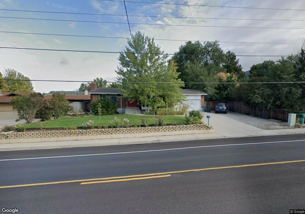
461 E 1600 N Orem, UT 84097
Northridge NeighborhoodEstimated Value: $460,000 - $571,645
About This Home
This home is located at 461 E 1600 N, Orem, UT 84097 and is currently estimated at $521,161, approximately $236 per square foot. 461 E 1600 N is a home located in Utah County with nearby schools including Orchard Elementary School, Oak Canyon Junior High School, and Timpanogos High School.
Ownership History
We collect this data history from publicly available records. To have your information removed, we recommend requesting removal directly through your county’s website.
Purchase Details
Purchase Details
Purchase Details
Home Financials for this Owner
Home Financials are based on the most recent Mortgage that was taken out on this home.Purchase Details
Purchase Details
Home Financials for this Owner
Home Financials are based on the most recent Mortgage that was taken out on this home.Purchase Details
Purchase Details
Home Financials for this Owner
Home Financials are based on the most recent Mortgage that was taken out on this home.Purchase Details
Home Financials for this Owner
Home Financials are based on the most recent Mortgage that was taken out on this home.Home Values in the Area
Average Home Value in this Area
Purchase History
We collect this data history from publicly available records. To have your information removed, we recommend requesting removal directly through your county’s website.
| Date | Buyer | Sale Price | Title Company |
|---|---|---|---|
| -- | None Available | ||
| -- | Accommodation | ||
| -- | Servicelink Aliquippa | ||
| -- | Wasatch Land & Title | ||
| -- | Wasatch Land & Title | ||
| $132,601 | -- | ||
| -- | Equity Title Agency Inc | ||
| -- | -- |
Mortgage History
We collect this data history from publicly available records. To have your information removed, we recommend requesting removal directly through your county’s website.
| Date | Status | Borrower | Loan Amount |
|---|---|---|---|
| Previous Owner | $146,250 | ||
| Previous Owner | $25,500 | ||
| Previous Owner | $136,000 | ||
| Previous Owner | $110,400 | ||
| Previous Owner | $112,000 |
Tax History
We collect this data history from publicly available records. To have your information removed, we recommend requesting removal directly through your county’s website.
| Year | Tax Paid | Tax Assessment Tax Assessment Total Assessment is a certain percentage of the fair market value that is determined by local assessors to be the total taxable value of land and additions on the property. | Land | Improvement |
|---|---|---|---|---|
| 2025 | $2,045 | $275,055 | -- | -- |
| 2024 | $2,045 | $251,405 | $0 | $0 |
| 2023 | $1,920 | $250,910 | $0 | $0 |
| 2022 | $1,920 | $244,420 | $0 | $0 |
| 2021 | $1,710 | $329,800 | $186,100 | $143,700 |
| 2020 | $1,576 | $298,700 | $161,800 | $136,900 |
| 2019 | $1,368 | $269,600 | $150,600 | $119,000 |
| 2018 | $1,432 | $269,600 | $150,600 | $119,000 |
| 2017 | $1,325 | $133,650 | $0 | $0 |
| 2016 | $1,428 | $132,825 | $0 | $0 |
| 2015 | $1,425 | $125,400 | $0 | $0 |
| 2014 | $1,296 | $113,520 | $0 | $0 |
Map
- 1636 N 320 E
- 1480 N 430 E
- 442 E 1730 N
- 895 E Quail Rd
- 363 E 1395 N Unit 22
- 723 E 1450 N Unit 25
- 1757 N 710 E
- 1371 N 330 E Unit 8
- 161 E 1460 N
- 1643 N Mountain Oaks Dr
- 558 E 1265 N Unit 109
- 695 E 1870 N
- 713 E 1500 St N Unit 19
- 713 E 1450 N Unit 23
- 55 E 1600 N
- 733 E 1450 N Unit 5
- 1234 N 590 E Unit 119
- 1366 N 750 E
- 687 E 1280 N Unit 7
- 577 E 1225 N Unit 127
Ask me questions while you tour the home.