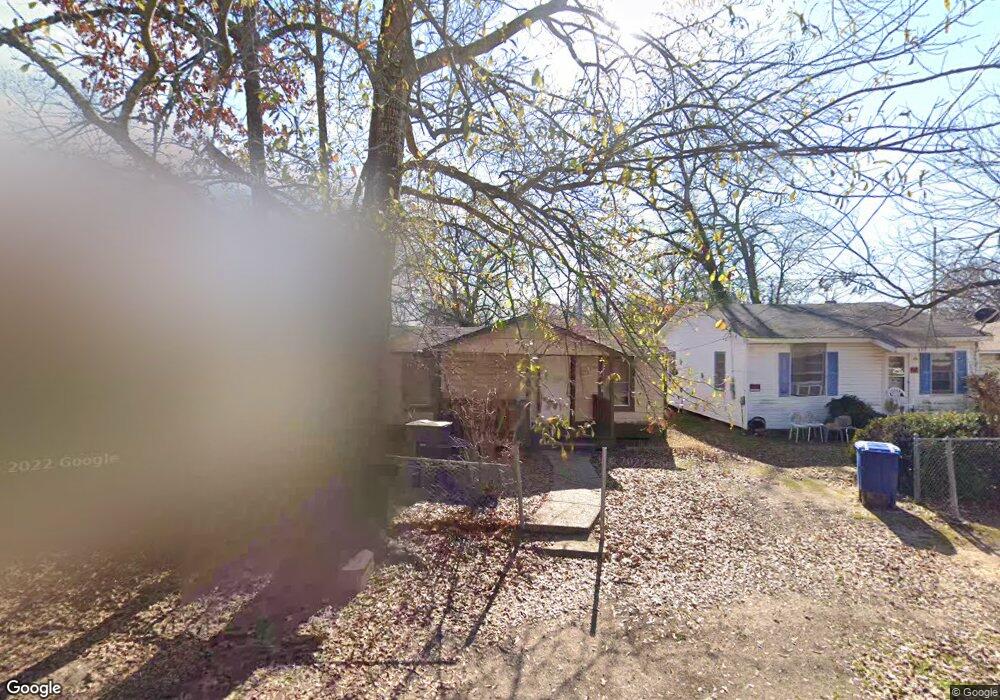
461 E 77th St Shreveport, LA 71106
Cedar Grove/Lynbrook NeighborhoodEstimated Value: $36,512 - $51,000
2
Beds
1
Bath
774
Sq Ft
$57/Sq Ft
Est. Value
About This Home
This home is located at 461 E 77th St, Shreveport, LA 71106 and is currently estimated at $44,128, approximately $57 per square foot. 461 E 77th St is a home with nearby schools including Atkins Technology Elementary School, Fairfield Magnet School, and Judson Fundamental Elementary School.
Ownership History
Date
Name
Owned For
Owner Type
Purchase Details
Closed on
Oct 30, 2014
Sold by
Harris Dione Colleen
Bought by
I & Harris Properties Llc
Current Estimated Value
Purchase Details
Closed on
Aug 20, 2013
Sold by
Harris Dione Colleen
Bought by
I Harris Properties Llc
Purchase Details
Closed on
Jun 21, 2013
Sold by
1 Harris Properties L L C
Bought by
Snelson Amanda White
Purchase Details
Closed on
Jun 14, 2013
Sold by
I & Harris Properties Llc
Bought by
Parish Of Caddo
Purchase Details
Closed on
May 21, 2013
Sold by
Harris David Wayne and Harris Alicia Lafaye
Bought by
Harris Dione Colleen
Create a Home Valuation Report for This Property
The Home Valuation Report is an in-depth analysis detailing your home's value as well as a comparison with similar homes in the area
Home Values in the Area
Average Home Value in this Area
Purchase History
| Date | Buyer | Sale Price | Title Company |
|---|---|---|---|
| I & Harris Properties Llc | -- | None Available | |
| I Harris Properties Llc | -- | None Available | |
| Snelson Amanda White | $236 | None Available | |
| Parish Of Caddo | $431 | None Available | |
| Harris Dione Colleen | -- | None Available |
Source: Public Records
Tax History Compared to Growth
Tax History
| Year | Tax Paid | Tax Assessment Tax Assessment Total Assessment is a certain percentage of the fair market value that is determined by local assessors to be the total taxable value of land and additions on the property. | Land | Improvement |
|---|---|---|---|---|
| 2024 | $223 | $1,432 | $365 | $1,067 |
| 2023 | $226 | $1,415 | $348 | $1,067 |
| 2022 | $226 | $1,415 | $348 | $1,067 |
| 2021 | $222 | $1,415 | $348 | $1,067 |
| 2020 | $222 | $1,415 | $348 | $1,067 |
| 2019 | $229 | $1,415 | $348 | $1,067 |
| 2018 | $182 | $1,415 | $348 | $1,067 |
| 2017 | $232 | $1,415 | $348 | $1,067 |
| 2015 | $208 | $1,607 | $348 | $1,259 |
| 2014 | $243 | $1,860 | $350 | $1,510 |
| 2013 | -- | $1,860 | $350 | $1,510 |
Source: Public Records
Map
Nearby Homes
- 567 E 73rd St
- 685 Bernard Blvd
- 7205 Southern Ave
- 7526 Harris St
- 361 E 70th St
- 72 Spring Lake Way
- 638 Ashbourne Dr
- 636 E 70th St
- 233 W 73rd St
- 634 Balmoral Dr
- 618 Balmoral Dr
- 0 Balmoral Dr
- 7713 Gideon St
- 346 W 80th St
- 109 W 85th St
- 0 Palestine St Unit 20985909
- 250 E 68th St
- 589 Spring Lake Dr
- 6835 Bethany St
- 8309 Ashbourne Dr