461 Eugene Burns Rd Deridder, LA 70634
Estimated Value: $226,000 - $317,000
Studio
--
Bath
1,792
Sq Ft
$147/Sq Ft
Est. Value
About This Home
This home is located at 461 Eugene Burns Rd, Deridder, LA 70634 and is currently estimated at $264,299, approximately $147 per square foot. 461 Eugene Burns Rd is a home located in Vernon Parish.
Ownership History
Date
Name
Owned For
Owner Type
Purchase Details
Closed on
Sep 12, 2007
Sold by
Hamm Charles David and Hamm Candace Joe Fite
Bought by
Hamm Olen Jamie and Hamm Monica Lynn Miller
Current Estimated Value
Home Financials for this Owner
Home Financials are based on the most recent Mortgage that was taken out on this home.
Original Mortgage
$95,000
Outstanding Balance
$59,315
Interest Rate
6.66%
Mortgage Type
Cash
Estimated Equity
$204,984
Create a Home Valuation Report for This Property
The Home Valuation Report is an in-depth analysis detailing your home's value as well as a comparison with similar homes in the area
Purchase History
| Date | Buyer | Sale Price | Title Company |
|---|---|---|---|
| Hamm Olen Jamie | $95,000 | -- |
Source: Public Records
Mortgage History
| Date | Status | Borrower | Loan Amount |
|---|---|---|---|
| Open | Hamm Olen Jamie | $95,000 | |
| Closed | Hamm Olen Jamie | $76,150 |
Source: Public Records
Tax History
| Year | Tax Paid | Tax Assessment Tax Assessment Total Assessment is a certain percentage of the fair market value that is determined by local assessors to be the total taxable value of land and additions on the property. | Land | Improvement |
|---|---|---|---|---|
| 2025 | $2,674 | $20,700 | $880 | $19,820 |
| 2024 | $2,663 | $20,700 | $880 | $19,820 |
| 2023 | $2,321 | $19,310 | $910 | $18,400 |
| 2022 | $2,557 | $19,310 | $910 | $18,400 |
| 2021 | $2,636 | $19,310 | $910 | $18,400 |
| 2020 | $2,616 | $19,310 | $910 | $18,400 |
| 2019 | $2,647 | $19,290 | $890 | $18,400 |
| 2018 | $2,622 | $19,290 | $890 | $18,400 |
| 2017 | $2,623 | $19,290 | $890 | $18,400 |
| 2015 | $328 | $2,380 | $590 | $1,790 |
| 2014 | $319 | $2,380 | $590 | $1,790 |
| 2013 | $325 | $2,380 | $590 | $1,790 |
Source: Public Records
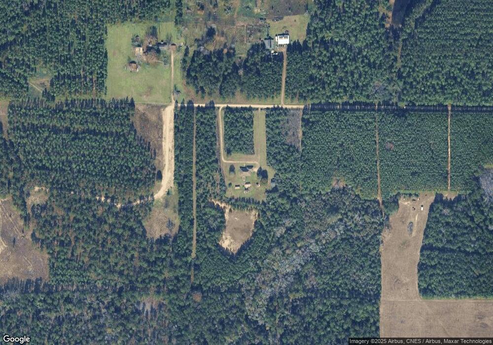
Map
Nearby Homes
- 178
- 2721 Liliedahl Rd
- 8983 Main St
- 243 Cornwell Rd
- 2108 Pear St
- 2107 Peach St
- 1931 Charlotte St
- 7197 Evans St
- 1016 Meadowbrook St
- 192 Sharon Dr
- 192 Sharon Dr Unit (Rosepine)
- 1844 Woodlawn St
- 7 Woodland Pkwy
- 903 Greenbriar St
- 810 Greenbriar St
- 0 Johnnie B Hall Memorial Hwy
- 6628 Bailey Rd
- 6616 Bailey Rd
- 119 Barbara Dr
- 6093 Fagan Cir
- 448 Eugene Burns Rd
- 566 Eugene Burns Rd
- 859 Golden Lantern Road 90 Acres Rd
- 604 Highway 3226
- 2694 Liliedahl Rd
- 102 Eugene Burns Rd
- 3007 Liliedahl Rd
- 3079 Liliedahl Rd
- 2851 Liliedahl Rd
- 821 Henry Bass Rd
- 1250 Highway 3226
- 1578 Highway 3226
- 2811 Liliedahl Rd
- 1464 Highway 3226
- 2839 Liliedahl Rd
- 857 Henry Bass Rd
- 0 Tbd Henry Bass Rd Unit 26-4214
- 0 Tbd Henry Bass Rd Unit 2-4230
- 0 Tbd Henry Bass Rd Unit 26-2235
- 0 Tbd Henry Bass Rd Unit 26-2236
Your Personal Tour Guide
Ask me questions while you tour the home.