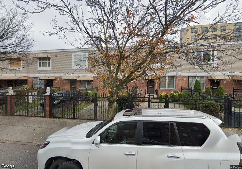
461 Georgia Ave Brooklyn, NY 11207
Brownsville NeighborhoodEstimated Value: $575,048 - $716,000
Studio
--
Bath
1,296
Sq Ft
$506/Sq Ft
Est. Value
About This Home
This home is located at 461 Georgia Ave, Brooklyn, NY 11207 and is currently estimated at $655,512, approximately $505 per square foot. 461 Georgia Ave is a home located in Kings County with nearby schools including Brooklyn Gardens Elementary School, J.H.S 292 Margaret S. Douglas, and Hyde Leadership Charter School-Brooklyn.
Ownership History
Date
Name
Owned For
Owner Type
Purchase Details
Closed on
Sep 28, 1999
Sold by
Nehemiah Housing Development Fund Co Inc
Bought by
Ellis Elizabeth J
Current Estimated Value
Home Financials for this Owner
Home Financials are based on the most recent Mortgage that was taken out on this home.
Original Mortgage
$69,000
Interest Rate
7.81%
Create a Home Valuation Report for This Property
The Home Valuation Report is an in-depth analysis detailing your home's value as well as a comparison with similar homes in the area
Home Values in the Area
Average Home Value in this Area
Purchase History
| Date | Buyer | Sale Price | Title Company |
|---|---|---|---|
| Ellis Elizabeth J | $94,000 | First American Title Ins Co |
Source: Public Records
Mortgage History
| Date | Status | Borrower | Loan Amount |
|---|---|---|---|
| Previous Owner | Ellis Elizabeth J | $69,000 | |
| Closed | Ellis Elizabeth J | $20,000 |
Source: Public Records
Tax History
| Year | Tax Paid | Tax Assessment Tax Assessment Total Assessment is a certain percentage of the fair market value that is determined by local assessors to be the total taxable value of land and additions on the property. | Land | Improvement |
|---|---|---|---|---|
| 2025 | $4,291 | $36,780 | $13,380 | $23,400 |
| 2024 | $4,291 | $37,680 | $13,380 | $24,300 |
| 2023 | $4,291 | $36,060 | $13,380 | $22,680 |
| 2022 | $4,254 | $29,520 | $13,380 | $16,140 |
| 2021 | $4,129 | $31,740 | $13,380 | $18,360 |
| 2019 | $3,675 | $25,200 | $13,380 | $11,820 |
| 2018 | $3,332 | $18,969 | $7,317 | $11,652 |
| 2017 | $3,032 | $18,674 | $7,022 | $11,652 |
| 2016 | $2,513 | $17,617 | $5,965 | $11,652 |
| 2015 | $805 | $16,620 | $4,968 | $11,652 |
| 2014 | $805 | $15,808 | $4,156 | $11,652 |
Source: Public Records
Map
Nearby Homes
- 548 Sheffield Ave
- 525 Alabama Ave
- 460 Hinsdale St
- 359 Sheffield Ave
- 644 Vermont St
- 446 New Jersey Ave
- 444 New Jersey Ave
- 353 Pennsylvania Ave
- 596 Wyona St
- 578 Williams Ave
- 582 Williams Ave
- 662 Riverdale Ave
- 533 Snediker Ave
- 606 Alabama Ave
- 610 Alabama Ave
- 439 Vermont St
- 317 Pennsylvania Ave
- 392 New Jersey Ave Unit 3921
- 412 Bradford St
- 584 Hinsdale St
- 459 Georgia Ave
- 463 Georgia Ave
- 465 Georgia Ave
- 457 Georgia Ave
- 467 Georgia Ave
- 455 Georgia Ave
- 469 Georgia Ave
- 453 Georgia Ave
- 471 Georgia Ave
- 451 Georgia Ave
- 472 Sheffield Ave
- 480 Sheffield Ave
- 470 Sheffield Ave
- 449 Georgia Ave
- 468 Sheffield Ave
- 466 Sheffield Ave
- 447 Georgia Ave
- 464 Sheffield Ave
- 445 Georgia Ave
- 462 Sheffield Ave
Your Personal Tour Guide
Ask me questions while you tour the home.