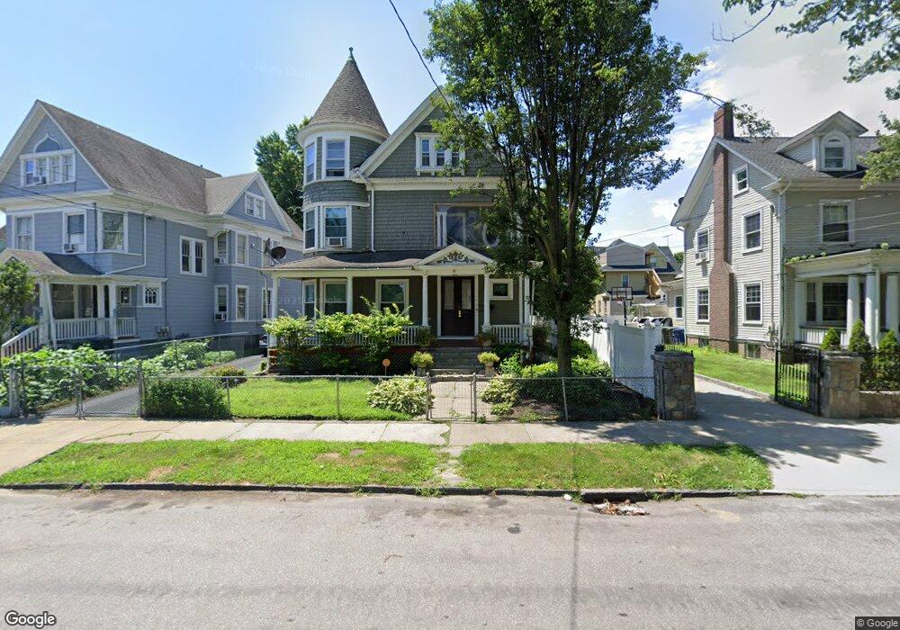
461 Laurel Ave Bridgeport, CT 06605
West End-West Side NeighborhoodEstimated Value: $484,468 - $691,000
10
Beds
4
Baths
3,887
Sq Ft
$161/Sq Ft
Est. Value
About This Home
This home is located at 461 Laurel Ave, Bridgeport, CT 06605 and is currently estimated at $626,867, approximately $161 per square foot. 461 Laurel Ave is a home located in Fairfield County with nearby schools including Cesar Batalla School, Bassick High School, and Park City Prep Charter School.
Ownership History
Date
Name
Owned For
Owner Type
Purchase Details
Closed on
Dec 30, 2004
Sold by
Tetreault Robert and Lanoir Timohy
Bought by
Duarte Norma
Current Estimated Value
Home Financials for this Owner
Home Financials are based on the most recent Mortgage that was taken out on this home.
Original Mortgage
$286,450
Interest Rate
7.87%
Create a Home Valuation Report for This Property
The Home Valuation Report is an in-depth analysis detailing your home's value as well as a comparison with similar homes in the area
Home Values in the Area
Average Home Value in this Area
Purchase History
| Date | Buyer | Sale Price | Title Company |
|---|---|---|---|
| Duarte Norma | $337,000 | -- | |
| Duarte Norma | $337,000 | -- |
Source: Public Records
Mortgage History
| Date | Status | Borrower | Loan Amount |
|---|---|---|---|
| Closed | Duarte Norma | $40,000 | |
| Open | Duarte Norma | $326,000 | |
| Closed | Duarte Norma | $286,450 |
Source: Public Records
Tax History Compared to Growth
Tax History
| Year | Tax Paid | Tax Assessment Tax Assessment Total Assessment is a certain percentage of the fair market value that is determined by local assessors to be the total taxable value of land and additions on the property. | Land | Improvement |
|---|---|---|---|---|
| 2025 | $9,953 | $229,070 | $52,270 | $176,800 |
| 2024 | $9,953 | $229,070 | $52,270 | $176,800 |
| 2023 | $9,953 | $229,070 | $52,270 | $176,800 |
| 2022 | $9,953 | $229,070 | $52,270 | $176,800 |
| 2021 | $9,953 | $229,070 | $52,270 | $176,800 |
| 2020 | $8,546 | $158,290 | $21,780 | $136,510 |
| 2019 | $8,546 | $158,290 | $21,780 | $136,510 |
| 2018 | $8,606 | $158,290 | $21,780 | $136,510 |
| 2017 | $8,606 | $158,290 | $21,780 | $136,510 |
| 2016 | $8,606 | $158,290 | $21,780 | $136,510 |
| 2015 | $8,338 | $197,590 | $26,350 | $171,240 |
| 2014 | $8,338 | $197,590 | $26,350 | $171,240 |
Source: Public Records
Map
Nearby Homes
- 393 Laurel Ave Unit 203
- 393 Laurel Ave Unit 415
- 468 Colorado Ave
- 670 Clinton Ave
- 115 Denver Ave Unit 117
- 697 Laurel Ave
- 357 Norman St
- 700 Laurel Ave
- 414 Wood Ave
- 592 Norman St Unit 594
- 150 Clinton Ave
- 1033 Howard Ave Unit 1035
- 1373 Iranistan Ave
- 870 Hancock Ave Unit 872
- 1169 Iranistan Ave
- 826 Norman St
- 90 Lee Ave
- 1610 Fairfield Ave Unit G4
- 566 Wood Ave
- 43 Clinton Ave Unit 45
- 447 Laurel Ave
- 473 Laurel Ave
- 76 Elmwood Place
- 94 Elmwood Place
- 64 Elmwood Place
- 80 Elmwood Place
- 480 Laurel Ave
- 51 Grove St Unit 2
- 49 Grove St Unit 2
- 49 Grove St Unit 51
- 78 Grove St
- 76 Grove St Unit 78
- 76 Grove St Unit 2
- 76 Grove St Unit 3
- 49-51 Grove St
- 59 Grove St Unit 61
- 62 Grove St Unit 64
- 104 Elmwood Place
- 497 Laurel Ave
- 145 Grove St Unit 147