461 Layside Dr Winchester, VA 22602
Estimated Value: $385,000 - $534,000
3
Beds
3
Baths
1,400
Sq Ft
$315/Sq Ft
Est. Value
About This Home
This home is located at 461 Layside Dr, Winchester, VA 22602 and is currently estimated at $440,754, approximately $314 per square foot. 461 Layside Dr is a home located in Frederick County with nearby schools including Orchard View Elementary School, Frederick County Middle School, and James Wood High School.
Ownership History
Date
Name
Owned For
Owner Type
Purchase Details
Closed on
Jul 29, 2003
Sold by
Adams James L
Bought by
Mudry Monty
Current Estimated Value
Home Financials for this Owner
Home Financials are based on the most recent Mortgage that was taken out on this home.
Original Mortgage
$188,000
Outstanding Balance
$80,675
Interest Rate
5.27%
Mortgage Type
New Conventional
Estimated Equity
$360,079
Create a Home Valuation Report for This Property
The Home Valuation Report is an in-depth analysis detailing your home's value as well as a comparison with similar homes in the area
Home Values in the Area
Average Home Value in this Area
Purchase History
| Date | Buyer | Sale Price | Title Company |
|---|---|---|---|
| Mudry Monty | $235,000 | -- |
Source: Public Records
Mortgage History
| Date | Status | Borrower | Loan Amount |
|---|---|---|---|
| Open | Mudry Monty | $188,000 |
Source: Public Records
Tax History Compared to Growth
Tax History
| Year | Tax Paid | Tax Assessment Tax Assessment Total Assessment is a certain percentage of the fair market value that is determined by local assessors to be the total taxable value of land and additions on the property. | Land | Improvement |
|---|---|---|---|---|
| 2025 | $1,993 | $415,200 | $97,000 | $318,200 |
| 2024 | $875 | $343,200 | $78,500 | $264,700 |
| 2023 | $1,750 | $343,200 | $78,500 | $264,700 |
| 2022 | $1,668 | $273,400 | $72,500 | $200,900 |
| 2021 | $1,668 | $273,400 | $72,500 | $200,900 |
| 2020 | $1,491 | $244,500 | $72,500 | $172,000 |
| 2019 | $1,491 | $244,500 | $72,500 | $172,000 |
| 2018 | $1,351 | $221,500 | $62,100 | $159,400 |
| 2017 | $1,329 | $221,500 | $62,100 | $159,400 |
| 2016 | $1,216 | $202,700 | $49,600 | $153,100 |
| 2015 | $1,135 | $202,700 | $49,600 | $153,100 |
| 2014 | $572 | $193,800 | $49,600 | $144,200 |
Source: Public Records
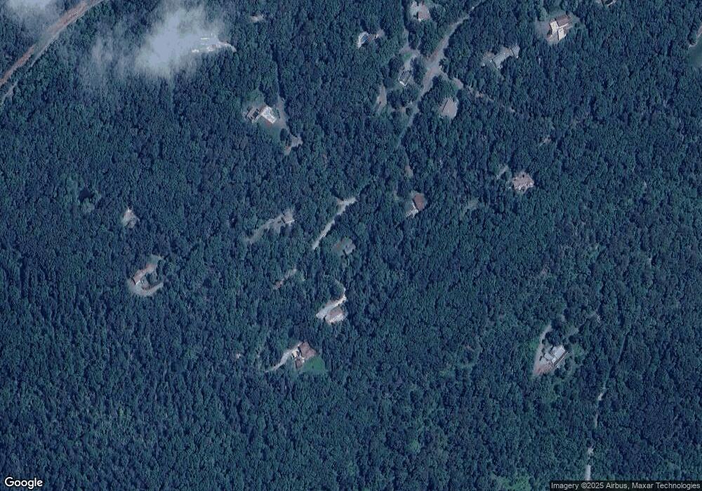
Map
Nearby Homes
- 310 Wardensville Grade
- 6 Dicks Hollow Rd
- 440 Iris Ln
- Lot B Cather Ln
- Lot A Cather Ln
- Lot C Cather Ln
- 177 Dicks Hollow Rd
- 830 McDonald Rd
- Lot 13 Tavistock Dr
- Lot 1 Tavistock Dr
- 33+ ACRES Quail Run Ln
- Lot 6 Deer Run Dr
- 700 Miller Rd
- 0 Ewell Dr
- 150 Ewell Dr
- 386 Round Hill Rd
- 1460 Pitcock Ln
- 2431 Cedar Creek Grade
- 107 Lacosta Ct
- Lot 14 Autumn Hills Estate
- 475 Layside Dr
- 464 Layside Dr
- 427 Layside Dr
- 479 Layside Dr
- 256 Sawyer Ln
- 393 Layside Dr
- 181 Sawyer Ln
- 269 Pinnacle Ridge Rd
- 340 Sawyer Ln
- 360 Woodfield Ln
- 364 Layside Dr
- 357 Layside Dr
- 254 Sawyer Ln
- 260 Sawyer Ln
- 141 Bridle Path Rd
- 327 Layside Dr
- 0 Conns Dr E Unit 1005934987
- 0 Conns Dr E Unit FV9542332
- LOT #10 Conns Dr E
- 0 Conns Dr E Unit VAFV149570