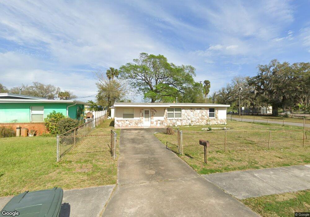
461 Lockhart St Daytona Beach, FL 32114
Central Daytona NeighborhoodEstimated Value: $155,459 - $199,000
2
Beds
1
Bath
1,024
Sq Ft
$168/Sq Ft
Est. Value
About This Home
This home is located at 461 Lockhart St, Daytona Beach, FL 32114 and is currently estimated at $171,615, approximately $167 per square foot. 461 Lockhart St is a home located in Volusia County with nearby schools including Turie T. Small Elementary School, Spruce Creek Elementary School, and Campbell Middle School.
Ownership History
Date
Name
Owned For
Owner Type
Purchase Details
Closed on
Dec 21, 2016
Sold by
Williams Catherine Virginai
Bought by
Elliott Laotya
Current Estimated Value
Home Financials for this Owner
Home Financials are based on the most recent Mortgage that was taken out on this home.
Original Mortgage
$73,720
Outstanding Balance
$60,446
Interest Rate
4.03%
Mortgage Type
New Conventional
Estimated Equity
$111,169
Purchase Details
Closed on
Dec 15, 1989
Bought by
Williams Catherine Virginia
Create a Home Valuation Report for This Property
The Home Valuation Report is an in-depth analysis detailing your home's value as well as a comparison with similar homes in the area
Home Values in the Area
Average Home Value in this Area
Purchase History
| Date | Buyer | Sale Price | Title Company |
|---|---|---|---|
| Elliott Laotya | $76,000 | Lighthouse Title Of East Flo | |
| Williams Catherine Virginia | $35,500 | -- |
Source: Public Records
Mortgage History
| Date | Status | Borrower | Loan Amount |
|---|---|---|---|
| Open | Elliott Laotya | $73,720 |
Source: Public Records
Tax History Compared to Growth
Tax History
| Year | Tax Paid | Tax Assessment Tax Assessment Total Assessment is a certain percentage of the fair market value that is determined by local assessors to be the total taxable value of land and additions on the property. | Land | Improvement |
|---|---|---|---|---|
| 2025 | $506 | $64,317 | -- | -- |
| 2024 | $506 | $62,505 | -- | -- |
| 2023 | $506 | $60,685 | $0 | $0 |
| 2022 | $503 | $58,917 | $0 | $0 |
| 2021 | $525 | $57,201 | $0 | $0 |
| 2020 | $522 | $56,411 | $0 | $0 |
| 2019 | $523 | $55,143 | $0 | $0 |
| 2018 | $535 | $54,115 | $0 | $0 |
| 2017 | $550 | $53,002 | $5,265 | $47,737 |
| 2016 | $303 | $38,600 | $0 | $0 |
| 2015 | $312 | $38,332 | $0 | $0 |
| 2014 | $329 | $38,939 | $0 | $0 |
Source: Public Records
Map
Nearby Homes
- 437 Lockhart St
- 812 Kottle Cir S
- 812 Kottle Cir S Unit S
- 425 Lockhart St
- 825 Kottle Cir S
- 835 Kottle Cir N Unit N
- 835 Kottle Cir N
- 809 Maley St
- 716 Verdell St
- 635 Mccormick St
- 704 Park Dr
- 643 Mc Cormick St
- 616 Cedar Park Dr
- 704 Cedar St
- 317 Reva St
- 241 Martin Luther King Blvd S
- 735 Martin Luther King Blvd S
- 539 S Keech St
- 0 Orange Ave
- 710 Orange Ave
- 457 Lockhart St
- 460 Alamanda St
- 330 Loomis Ave
- 00 Loomis Ave
- 456 Alamanda St
- 453 Lockhart St
- 452 Alamanda St
- 449 Lockhart St
- 801 Kottle Cir S
- 448 Alamanda St
- 445 Lockhart St
- 461 Alamanda St
- 457 Alamanda St
- 444 Alamanda St
- 453 Alamanda St
- 805 Kottle Cir N
- 808 Kottle Cir S
- 441 Lockhart St
- 800 Kottle Cir S
- 449 Alamanda St