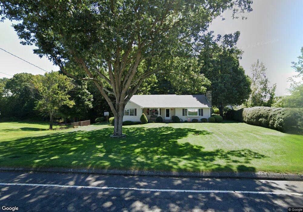
461 Matthews St Bristol, CT 06010
North Bristol NeighborhoodEstimated Value: $362,000 - $475,934
3
Beds
2
Baths
1,525
Sq Ft
$276/Sq Ft
Est. Value
About This Home
This home is located at 461 Matthews St, Bristol, CT 06010 and is currently estimated at $420,734, approximately $275 per square foot. 461 Matthews St is a home located in Hartford County with nearby schools including West Bristol Sch, Bristol Central High School, and Immanuel Lutheran School.
Ownership History
Date
Name
Owned For
Owner Type
Purchase Details
Closed on
Mar 21, 1989
Sold by
Hill Ted
Bought by
Cookson Wayne
Current Estimated Value
Home Financials for this Owner
Home Financials are based on the most recent Mortgage that was taken out on this home.
Original Mortgage
$149,940
Interest Rate
10.46%
Purchase Details
Closed on
Feb 14, 1972
Bought by
Blank Elaine K
Create a Home Valuation Report for This Property
The Home Valuation Report is an in-depth analysis detailing your home's value as well as a comparison with similar homes in the area
Home Values in the Area
Average Home Value in this Area
Purchase History
| Date | Buyer | Sale Price | Title Company |
|---|---|---|---|
| Cookson Wayne | $166,600 | -- | |
| Blank Elaine K | -- | -- |
Source: Public Records
Mortgage History
| Date | Status | Borrower | Loan Amount |
|---|---|---|---|
| Closed | Blank Elaine K | $149,940 |
Source: Public Records
Tax History Compared to Growth
Tax History
| Year | Tax Paid | Tax Assessment Tax Assessment Total Assessment is a certain percentage of the fair market value that is determined by local assessors to be the total taxable value of land and additions on the property. | Land | Improvement |
|---|---|---|---|---|
| 2025 | $8,911 | $264,040 | $123,830 | $140,210 |
| 2024 | $8,410 | $264,040 | $123,830 | $140,210 |
| 2023 | $8,014 | $264,040 | $123,830 | $140,210 |
| 2022 | $7,672 | $200,060 | $105,280 | $94,780 |
| 2021 | $7,672 | $200,060 | $105,280 | $94,780 |
| 2020 | $7,672 | $200,060 | $105,280 | $94,780 |
| 2019 | $7,612 | $200,060 | $105,280 | $94,780 |
| 2018 | $7,378 | $200,060 | $105,280 | $94,780 |
| 2017 | $8,373 | $232,400 | $145,040 | $87,360 |
| 2016 | $8,373 | $232,400 | $145,040 | $87,360 |
| 2015 | $8,043 | $232,400 | $145,040 | $87,360 |
| 2014 | $8,043 | $232,400 | $145,040 | $87,360 |
Source: Public Records
Map
Nearby Homes
- 6 Ridgecrest Ln
- 321 Matthews St
- 146 Perkins St
- 26 Martin Rd
- 6 Sand Hill Rd
- 820 Matthews St Unit 29
- 62 Gino Dr
- 66 Gino Dr
- 65 Gino Dr
- 439 James P Casey Rd
- 35 James P Casey Rd
- 441 Clark Ave Unit 2
- 441 Clark Ave Unit 5
- 96 Putnam St
- 565 Clark Ave Unit 17
- 565 Clark Ave Unit 18
- 90 Battle St
- 120 Barlow St
- 12 Mills St
- 1970 Perkins St
- 470 Matthews St
- 480 Matthews St
- 490 Matthews St
- 460 Matthews St
- 66 Ridgecrest Ln
- 450 Matthews St
- 500 Matthews St
- 76 Ridgecrest Ln
- 56 Ridgecrest Ln
- 440 Matthews St
- 510 Matthews St
- 86 Ridgecrest Ln
- 437 Matthews St
- 36 Ridgecrest Ln
- 430 Matthews St
- 65 Ridgecrest Ln
- 55 Ridgecrest Ln
- 79 Ridgecrest Ln
- 43 Ridgecrest Ln
- 520 Matthews St