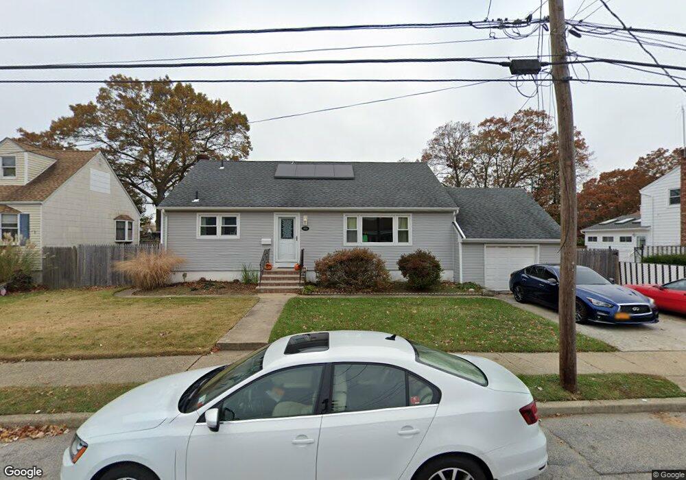
461 N Clinton Ave Lindenhurst, NY 11757
Estimated Value: $496,282 - $712,000
Studio
1
Bath
1,660
Sq Ft
$366/Sq Ft
Est. Value
About This Home
This home is located at 461 N Clinton Ave, Lindenhurst, NY 11757 and is currently estimated at $607,821, approximately $366 per square foot. 461 N Clinton Ave is a home located in Suffolk County with nearby schools including Daniel Street School, Lindenhurst Middle School, and Lindenhurst Senior High School.
Ownership History
Date
Name
Owned For
Owner Type
Purchase Details
Closed on
Dec 29, 2015
Sold by
Gershman Karen L and Radinsky Karen L
Bought by
Pettit Brett
Current Estimated Value
Home Financials for this Owner
Home Financials are based on the most recent Mortgage that was taken out on this home.
Original Mortgage
$294,566
Outstanding Balance
$236,472
Interest Rate
4.25%
Mortgage Type
FHA
Estimated Equity
$371,349
Purchase Details
Closed on
Nov 29, 2007
Sold by
Silecchia Vito
Bought by
Gershman Karen L
Purchase Details
Closed on
Jun 6, 2006
Sold by
Silecchia Frank and Silecchia Helen
Bought by
Silecchbia Vito and Silecchbia Antonia
Create a Home Valuation Report for This Property
The Home Valuation Report is an in-depth analysis detailing your home's value as well as a comparison with similar homes in the area
Home Values in the Area
Average Home Value in this Area
Purchase History
| Date | Buyer | Sale Price | Title Company |
|---|---|---|---|
| Pettit Brett | $3,000,000 | Secured Perimeier Title | |
| Gershman Karen L | $320,000 | Edward A Jr Fregosi | |
| Silecchbia Vito | -- | Bryan Frankel |
Source: Public Records
Mortgage History
| Date | Status | Borrower | Loan Amount |
|---|---|---|---|
| Open | Pettit Brett | $294,566 |
Source: Public Records
Tax History
| Year | Tax Paid | Tax Assessment Tax Assessment Total Assessment is a certain percentage of the fair market value that is determined by local assessors to be the total taxable value of land and additions on the property. | Land | Improvement |
|---|---|---|---|---|
| 2022 | $8,856 | $2,920 | $260 | $2,660 |
| 2021 | $8,856 | $2,920 | $260 | $2,660 |
| 2020 | $9,098 | $2,920 | $260 | $2,660 |
| 2019 | $10,116 | $0 | $0 | $0 |
Source: Public Records
Map
Nearby Homes
- 612 N Broome Ave
- 149 Byrd St
- 22 Lenox St
- 449 N Indiana Ave
- 7 Gary St
- 15 Macon St
- 285 Daniel St
- 20 Newark St
- 363 N Wellwood Ave
- 690 N Delaware Ave
- 247 N Greene Ave
- 267 N Wellwood Ave
- 70 Bristol St
- 830 N Broome Ave
- 157 N Alleghany Ave
- 690 N Hamilton Ave
- 219 E John St
- 831 N Erie Ave
- 417 N Monroe Ave
- 847 N Clinton Ave
- 451 N Clinton Ave
- 464 N Broome Ave
- 477 N Clinton Ave
- 452 N Broome Ave
- 476 N Broome Ave
- 464 N Clinton Ave
- 452 N Clinton Ave
- 415 N Clinton Ave
- 424 N Broome Ave
- 480 N Clinton Ave
- 490 N Broome Ave
- 491 N Clinton Ave
- 436 N Clinton Ave
- 465 N Broome Ave
- 490 N Clinton Ave
- 449 N Broome Ave
- 469 N Broome Ave
- 463 N Delaware Ave
- 453 N Delaware Ave
- 420 N Broome Ave
Your Personal Tour Guide
Ask me questions while you tour the home.