461 N End Rd Georgetown, ME 04548
Georgetown NeighborhoodEstimated Value: $1,757,048
--
Bed
--
Bath
--
Sq Ft
8.06
Acres
About This Home
This home is located at 461 N End Rd, Georgetown, ME 04548 and is currently priced at $1,757,048. 461 N End Rd is a home.
Ownership History
Date
Name
Owned For
Owner Type
Purchase Details
Closed on
Dec 30, 2020
Sold by
Bonney Alison
Bought by
Bonney Ft and Bonney
Current Estimated Value
Purchase Details
Closed on
Dec 10, 2020
Sold by
Bonney Michael and Bonney Alison
Bought by
Bonney Alison
Create a Home Valuation Report for This Property
The Home Valuation Report is an in-depth analysis detailing your home's value as well as a comparison with similar homes in the area
Home Values in the Area
Average Home Value in this Area
Purchase History
| Date | Buyer | Sale Price | Title Company |
|---|---|---|---|
| Bonney Ft | -- | None Available | |
| Bonney Ft | -- | None Available | |
| Bonney Ft | -- | None Available | |
| Bonney Alison | -- | None Available | |
| Bonney Alison | -- | None Available | |
| Bonney Alison | -- | None Available |
Source: Public Records
Tax History Compared to Growth
Tax History
| Year | Tax Paid | Tax Assessment Tax Assessment Total Assessment is a certain percentage of the fair market value that is determined by local assessors to be the total taxable value of land and additions on the property. | Land | Improvement |
|---|---|---|---|---|
| 2024 | $22,641 | $3,760,900 | $1,064,600 | $2,696,300 |
| 2023 | $20,576 | $2,110,400 | $537,700 | $1,572,700 |
| 2022 | $18,656 | $2,110,400 | $537,700 | $1,572,700 |
| 2021 | $17,411 | $2,110,400 | $537,700 | $1,572,700 |
| 2020 | $17,094 | $2,110,400 | $537,700 | $1,572,700 |
| 2019 | $16,461 | $2,110,400 | $537,700 | $1,572,700 |
| 2018 | $16,250 | $2,110,400 | $537,700 | $1,572,700 |
| 2017 | $16,145 | $2,110,400 | $537,700 | $1,572,700 |
| 2016 | $16,145 | $2,110,400 | $537,700 | $1,572,700 |
| 2015 | $15,575 | $2,110,400 | $537,700 | $1,572,700 |
| 2014 | $15,575 | $2,110,400 | $537,700 | $1,572,700 |
| 2013 | $14,877 | $2,095,300 | $537,700 | $1,557,600 |
Source: Public Records
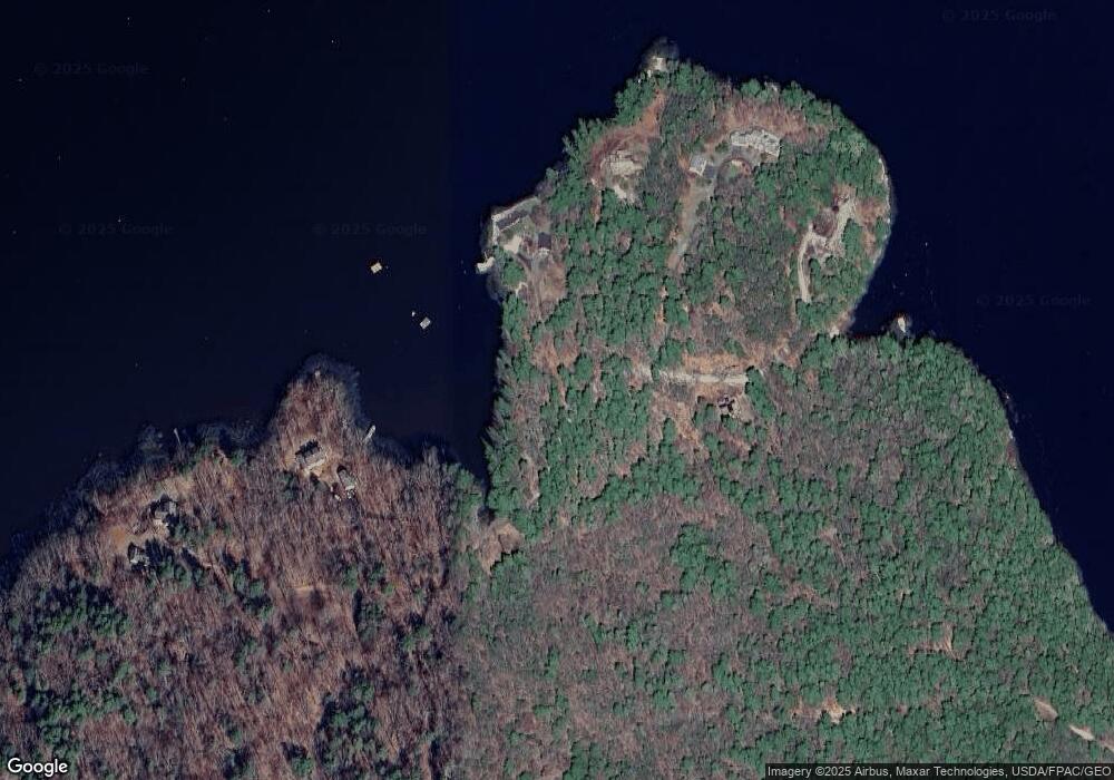
Map
Nearby Homes
- Lot 45-B Cove Rd
- 119 Knubble Bay Rd
- 68 Narrows Way
- 124 Main Rd
- 25 N End Rd
- 1 Plum Ln Unit D
- 129 Five Islands Rd
- 15 Blueberry Hill Rd
- 12 Spruce Gum Ln
- Lot 17A Snowman Ln
- 742 Old Stage Rd
- 44-4 Windrush Ln
- 461 Hendricks Hill Rd
- 17-1 Bald Head Rd
- 14 Pinkie Ln
- 3 Cedar Ln Unit 3
- 1 Cedar Ln Unit 1
- 17 Cedar Ln Unit 17
- Lot 3 Osprey Landing Dr
- Lot 2 Osprey Landing Dr
- 440 N End Rd
- 430 N End Rd
- 460 N End Rd
- 398 N End Rd
- 396 N End Rd
- lot 63 Newdick Point
- 92 Brooks Cove Rd
- 80 Soldiers Point Rd
- 90 Brooks Cove Rd
- 102 Soldiers Point Rd
- 92 Soldiers Point Rd
- 100 Soldiers Point Rd
- 0 Cove Rd
- 114 Soldiers Point Rd
- 41 Cove Rd
- 285 Robinhood Rd
- 118 Soldiers Point Rd
- 14 Cove Rd
- 279 Robinhood Rd
- 291 Robinhood Rd