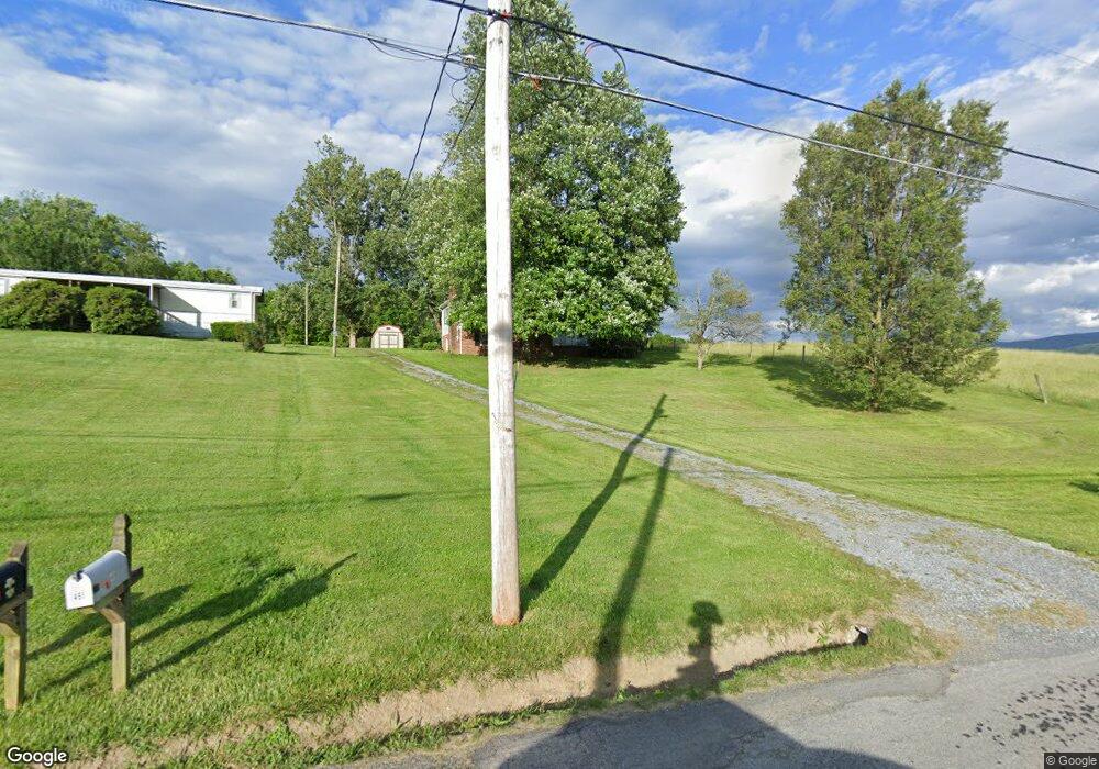
461 Old Airport Rd Chilhowie, VA 24319
Estimated Value: $162,000 - $229,000
2
Beds
2
Baths
1,584
Sq Ft
$121/Sq Ft
Est. Value
About This Home
This home is located at 461 Old Airport Rd, Chilhowie, VA 24319 and is currently estimated at $191,008, approximately $120 per square foot. 461 Old Airport Rd is a home located in Smyth County with nearby schools including Chilhowie Elementary School, Chilhowie Middle School, and Chilhowie High School.
Ownership History
Date
Name
Owned For
Owner Type
Purchase Details
Closed on
Feb 2, 2016
Sold by
Privett Denise Michelle and Privett Brian Christopher
Bought by
Privett Brian Christopher
Current Estimated Value
Purchase Details
Closed on
Apr 4, 2006
Sold by
Hall Cynthia M
Bought by
Privett Brian C and Privett Denise C
Home Financials for this Owner
Home Financials are based on the most recent Mortgage that was taken out on this home.
Original Mortgage
$17,800
Interest Rate
6.4%
Mortgage Type
Future Advance Clause Open End Mortgage
Create a Home Valuation Report for This Property
The Home Valuation Report is an in-depth analysis detailing your home's value as well as a comparison with similar homes in the area
Home Values in the Area
Average Home Value in this Area
Purchase History
| Date | Buyer | Sale Price | Title Company |
|---|---|---|---|
| Privett Brian Christopher | -- | None Available | |
| Privett Brian C | $89,000 | -- |
Source: Public Records
Mortgage History
| Date | Status | Borrower | Loan Amount |
|---|---|---|---|
| Previous Owner | Privett Brian C | $17,800 | |
| Previous Owner | Privett Brian C | $71,200 |
Source: Public Records
Tax History Compared to Growth
Tax History
| Year | Tax Paid | Tax Assessment Tax Assessment Total Assessment is a certain percentage of the fair market value that is determined by local assessors to be the total taxable value of land and additions on the property. | Land | Improvement |
|---|---|---|---|---|
| 2025 | $912 | $154,600 | $18,000 | $136,600 |
| 2024 | $912 | $154,600 | $18,000 | $136,600 |
| 2023 | $770 | $104,100 | $15,000 | $89,100 |
| 2022 | $770 | $104,100 | $15,000 | $89,100 |
| 2021 | $770 | $104,100 | $15,000 | $89,100 |
| 2020 | $770 | $104,100 | $15,000 | $89,100 |
| 2019 | $667 | $90,200 | $15,000 | $75,200 |
| 2018 | $667 | $90,200 | $15,000 | $75,200 |
| 2017 | $667 | $90,200 | $15,000 | $75,200 |
| 2016 | $667 | $90,200 | $15,000 | $75,200 |
| 2015 | $667 | $0 | $0 | $0 |
| 2014 | $640 | $0 | $0 | $0 |
Source: Public Records
Map
Nearby Homes
- 454 Old Airport Rd
- 182 Saint Johns Way
- 139 Brooke St
- 793 Needmore Rd
- 11 Elem St
- 38 Brooke St
- TBD Chestnutwood Dr
- TBD Lot#10 Elem Dr
- TBD Lot#12 Chestnutwood Dr
- TBD Lot#13 Chestnutwood Dr
- TBD Lot#15 Chestnutwood Dr
- TBD Lot#17 Bryant Dr
- TBD Lot#19 Christin Ln
- TBD Lo #24 Christin Ln
- TBD Lot#47 Grinstead Hill Rd
- TBD Lot#37 Brooke St
- TBD Lot#40 Brooke St
- TBD Lot#45 Chestnutwood Dr
- TBD Lot#42 Brooke St
- TBD Lot#46 Chestnutwood Dr
- 459 Old Airport Rd
- 447 Old Airport Rd
- Lot 7C Old Airport Rd
- Lot 7A Old Airport Rd
- Lot 7B Old Airport Rd
- 000 Old Airport Rd
- 427 Old Airport Rd
- 417 Old Airport Rd
- 428 Old Airport Rd
- 116 Holiday Dr
- 132 Holiday Dr
- 124 Holiday Dr
- 132 Holiday St
- 416 Old Airport Rd
- 108 Holiday Dr
- 142 Holiday Dr
- 408 Old Airport Rd
- TBD Holiday Dr
- 2097 Whitetop Rd
- 127 Holiday Dr