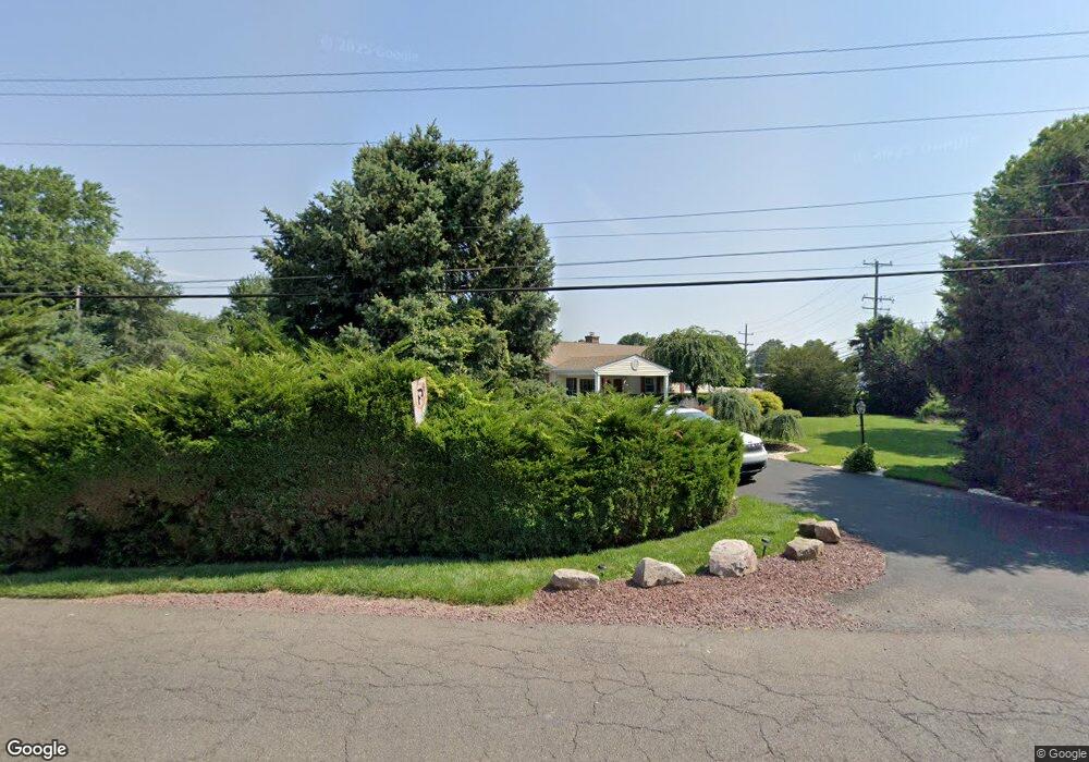
461 Orchard Ave Warminster, PA 18974
Estimated Value: $355,000 - $434,756
3
Beds
1
Bath
1,232
Sq Ft
$329/Sq Ft
Est. Value
About This Home
This home is located at 461 Orchard Ave, Warminster, PA 18974 and is currently estimated at $405,689, approximately $329 per square foot. 461 Orchard Ave is a home located in Bucks County with nearby schools including McDonald Elementary School, Log College Middle School, and William Tennent High School.
Ownership History
Date
Name
Owned For
Owner Type
Purchase Details
Closed on
Oct 23, 1998
Sold by
Younger David P and Younger Paula L
Bought by
Prouty Robert N and Prouty Michele B
Current Estimated Value
Home Financials for this Owner
Home Financials are based on the most recent Mortgage that was taken out on this home.
Original Mortgage
$123,000
Outstanding Balance
$26,350
Interest Rate
6.65%
Estimated Equity
$379,339
Purchase Details
Closed on
Jan 3, 1979
Bought by
Younger David P and Younger Paula L
Create a Home Valuation Report for This Property
The Home Valuation Report is an in-depth analysis detailing your home's value as well as a comparison with similar homes in the area
Home Values in the Area
Average Home Value in this Area
Purchase History
| Date | Buyer | Sale Price | Title Company |
|---|---|---|---|
| Prouty Robert N | $129,500 | -- | |
| Younger David P | $45,500 | -- |
Source: Public Records
Mortgage History
| Date | Status | Borrower | Loan Amount |
|---|---|---|---|
| Open | Prouty Robert N | $123,000 |
Source: Public Records
Tax History Compared to Growth
Tax History
| Year | Tax Paid | Tax Assessment Tax Assessment Total Assessment is a certain percentage of the fair market value that is determined by local assessors to be the total taxable value of land and additions on the property. | Land | Improvement |
|---|---|---|---|---|
| 2025 | $5,150 | $24,400 | $7,200 | $17,200 |
| 2024 | $5,150 | $24,400 | $7,200 | $17,200 |
| 2023 | $4,991 | $24,400 | $7,200 | $17,200 |
| 2022 | $4,885 | $24,400 | $7,200 | $17,200 |
| 2021 | $4,771 | $24,400 | $7,200 | $17,200 |
| 2020 | $4,704 | $24,400 | $7,200 | $17,200 |
| 2019 | $4,454 | $24,400 | $7,200 | $17,200 |
| 2018 | $4,348 | $24,400 | $7,200 | $17,200 |
| 2017 | $4,220 | $24,400 | $7,200 | $17,200 |
| 2016 | $4,220 | $24,400 | $7,200 | $17,200 |
| 2015 | $4,149 | $24,400 | $7,200 | $17,200 |
| 2014 | $4,149 | $24,400 | $7,200 | $17,200 |
Source: Public Records
Map
Nearby Homes
- 713 Mason Dr
- 446 Maple St
- 524 Penrose Ln
- Lot 15 Kennedy Way
- 0 York Rd
- 632 Longfellow Ct
- 724 Cypress Rd
- 220 Nemoral St
- 200 Maple St
- 425 Grape St
- 995 Howard Rd
- 422 Brandywine Ct Unit YV422
- 408 Brandywine Ct Unit YV408
- 905 Holden Ct
- 675 Cheryl Dr
- 667 Arbor Ln
- 472 4th Ave
- 109 Wilson Ave
- 942 Stein Ct
- 130 E Street Rd
- 666 Mearns Rd
- 653 Phillips Rd
- 665 Phillips Rd
- 676 Mearns Rd
- 675 Phillips Rd
- 686 Mearns Rd Unit 4
- 686 Mearns Rd
- 685 Phillips Rd
- 505 Orchard Ave
- 666 Phillips Rd
- 695 Phillips Rd
- 676 Phillips Rd
- 698 Mearns Rd
- 688 Phillips Rd
- 705 Phillips Rd
- 708 Mearns Rd
- 674 Mary St
- 449 W Street Rd
- 669 Mason Dr
- 698 Phillips Rd