461 Saunders Rd Lake Forest, IL 60045
Estimated Value: $1,038,000 - $1,302,000
--
Bed
4
Baths
4,243
Sq Ft
$283/Sq Ft
Est. Value
About This Home
This home is located at 461 Saunders Rd, Lake Forest, IL 60045 and is currently estimated at $1,198,986, approximately $282 per square foot. 461 Saunders Rd is a home located in Lake County with nearby schools including Deer Path Middle School East, Everett Elementary School, and Lake Forest High School.
Ownership History
Date
Name
Owned For
Owner Type
Purchase Details
Closed on
Jun 24, 2025
Sold by
Sullivan Michael James and Gayle Sandra
Bought by
Gayle Sandra Sullivan Declaration Of Trust and Michael James Sullivan Declaration Of Trust
Current Estimated Value
Purchase Details
Closed on
Feb 24, 2000
Sold by
Skarecky Susan B
Bought by
Sullivan Michael J and Sullivan Gayle S
Home Financials for this Owner
Home Financials are based on the most recent Mortgage that was taken out on this home.
Original Mortgage
$450,000
Interest Rate
7%
Create a Home Valuation Report for This Property
The Home Valuation Report is an in-depth analysis detailing your home's value as well as a comparison with similar homes in the area
Home Values in the Area
Average Home Value in this Area
Purchase History
| Date | Buyer | Sale Price | Title Company |
|---|---|---|---|
| Gayle Sandra Sullivan Declaration Of Trust | -- | None Listed On Document | |
| Sullivan Michael J | $653,500 | -- | |
| Skarecky Susan B | -- | -- |
Source: Public Records
Mortgage History
| Date | Status | Borrower | Loan Amount |
|---|---|---|---|
| Previous Owner | Sullivan Michael J | $450,000 |
Source: Public Records
Tax History Compared to Growth
Tax History
| Year | Tax Paid | Tax Assessment Tax Assessment Total Assessment is a certain percentage of the fair market value that is determined by local assessors to be the total taxable value of land and additions on the property. | Land | Improvement |
|---|---|---|---|---|
| 2024 | $11,768 | $213,353 | $163,902 | $49,451 |
| 2023 | $21,273 | $201,315 | $154,654 | $46,661 |
| 2022 | $21,273 | $200,533 | $154,053 | $46,480 |
| 2021 | $20,794 | $198,371 | $152,392 | $45,979 |
| 2020 | $20,394 | $199,048 | $152,912 | $46,136 |
| 2019 | $19,892 | $198,314 | $152,348 | $45,966 |
| 2018 | $12,237 | $213,973 | $150,264 | $63,709 |
| 2017 | $19,824 | $208,979 | $146,757 | $62,222 |
| 2016 | $19,813 | $223,462 | $140,531 | $82,931 |
| 2015 | $11,293 | $231,115 | $131,423 | $99,692 |
| 2014 | $11,465 | $212,601 | $141,149 | $71,452 |
| 2012 | $11,034 | $213,027 | $141,432 | $71,595 |
Source: Public Records
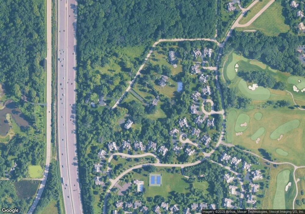
Map
Nearby Homes
- 500 Andover Ct
- 480 Saunders Rd
- 2150 W Saunders Rd
- 2200 W Saunders Rd
- 660 S Buckingham Ct
- 600 Riverwoods Rd
- 289 S South Shore Ln
- 1845 W North Pond Ln
- 1830 W North Pond Ln
- 1745 W Newport Ct
- 1515 Sage Ct
- 95 S Canterbury Ct
- 1144 Ranch Rd Unit 4
- 1775 Westbridge Cir
- 1122 S Estate Ln
- 1371 Lakewood Dr
- 625 Leland Ct
- 300 N Bradley Rd
- 1866 S Wilson Dr
- 1401 W Everett Rd
- 441 Saunders Rd
- 481 Saunders Rd
- 570 Stockbridge Ct
- 562 Stockbridge Ct
- 560 Stockbridge Ct
- 588 Wharton Dr
- 586 Wharton Dr
- 590 Wharton Dr
- 510 Andover Ct
- 592 Wharton Dr
- 512 Andover Ct
- 502 Andover Ct
- 584 Wharton Dr
- 594 Wharton Dr
- 574 Stockbridge Ct
- 596 Wharton Dr
- 520 Andover Ct
- 582 Wharton Dr
- 500 S Saunders Rd
- 500 Saunders Rd