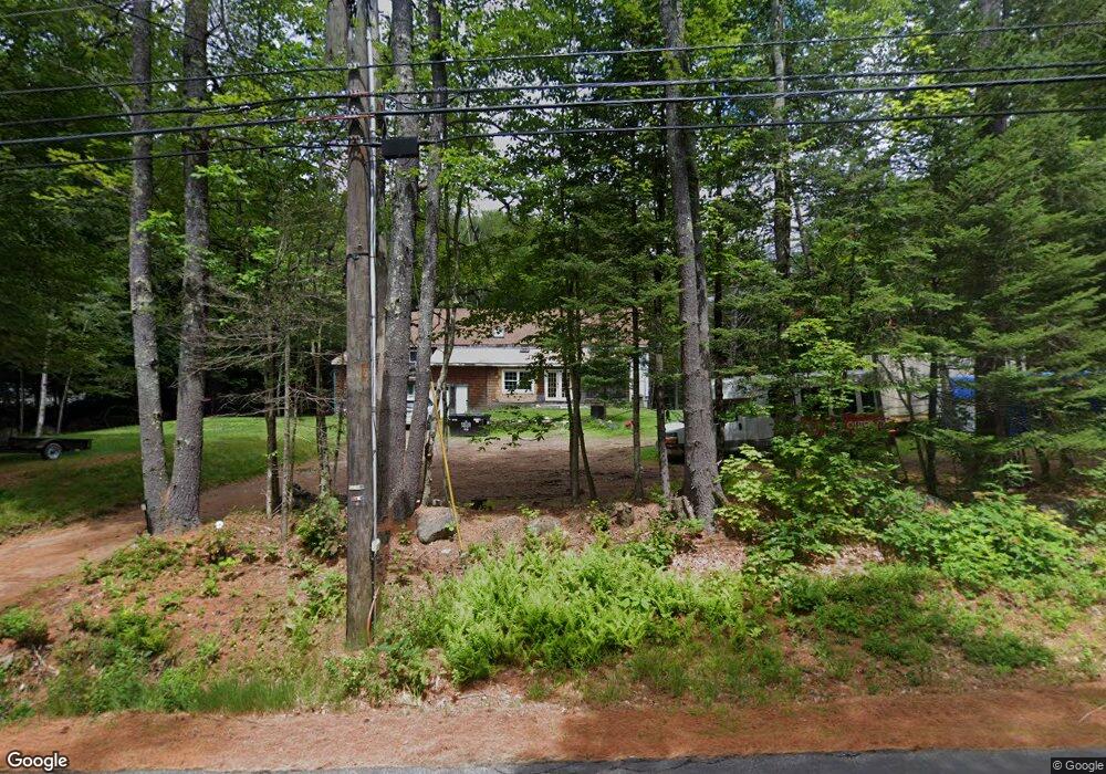
461 Upper Mad River Rd Thornton, NH 03285
Estimated Value: $469,000 - $590,000
3
Beds
2
Baths
1,400
Sq Ft
$376/Sq Ft
Est. Value
About This Home
This home is located at 461 Upper Mad River Rd, Thornton, NH 03285 and is currently estimated at $525,714, approximately $375 per square foot. 461 Upper Mad River Rd is a home located in Grafton County with nearby schools including Thornton Central School and Plymouth Regional High School.
Ownership History
Date
Name
Owned For
Owner Type
Purchase Details
Closed on
Oct 23, 2021
Sold by
Fusco Arthur
Bought by
Steadman Zachery and Gastil Stephanie
Current Estimated Value
Purchase Details
Closed on
Sep 8, 2014
Sold by
Thornton Town Of
Bought by
Fusco Arthur
Create a Home Valuation Report for This Property
The Home Valuation Report is an in-depth analysis detailing your home's value as well as a comparison with similar homes in the area
Home Values in the Area
Average Home Value in this Area
Purchase History
| Date | Buyer | Sale Price | Title Company |
|---|---|---|---|
| Steadman Zachery | $140,000 | None Available | |
| Fusco Arthur | -- | -- |
Source: Public Records
Mortgage History
| Date | Status | Borrower | Loan Amount |
|---|---|---|---|
| Previous Owner | Fusco Arthur | $50,000 |
Source: Public Records
Tax History
| Year | Tax Paid | Tax Assessment Tax Assessment Total Assessment is a certain percentage of the fair market value that is determined by local assessors to be the total taxable value of land and additions on the property. | Land | Improvement |
|---|---|---|---|---|
| 2025 | $5,336 | $454,500 | $116,500 | $338,000 |
| 2024 | $5,168 | $454,500 | $116,500 | $338,000 |
| 2023 | $5,674 | $273,300 | $67,300 | $206,000 |
| 2022 | $5,469 | $273,300 | $67,300 | $206,000 |
| 2021 | $5,676 | $273,300 | $67,300 | $206,000 |
| 2020 | $4,747 | $273,300 | $67,300 | $206,000 |
| 2019 | $5,105 | $273,300 | $67,300 | $206,000 |
| 2018 | $4,647 | $220,700 | $45,500 | $175,200 |
| 2017 | $4,631 | $237,000 | $50,400 | $186,600 |
| 2016 | $613 | $237,000 | $50,400 | $186,600 |
| 2015 | $4,527 | $237,000 | $50,400 | $186,600 |
| 2014 | $4,453 | $237,000 | $50,400 | $186,600 |
| 2013 | $4,108 | $224,000 | $39,000 | $185,000 |
Source: Public Records
Map
Nearby Homes
- 000 Upper Mad River Rd Unit 7
- 911 New Hampshire 49
- Lot 1 Welch View Dr
- Lot 1 Welch View Dr
- 11 Weeping Birches Ln
- 13 Laurel Cir Unit 8
- 612 Upper Mad River Rd Unit B
- 612 Upper Mad River Rd Unit A
- 612 Upper Mad River Rd Unit D
- 6 Shepherd Ln
- 0 Checkerberry Ridge Rd Unit 142
- 156 Hodgeman Hill Rd
- 129 Hodgeman Hill Rd
- 28 Condo Rd Unit 2
- 1 Condo Rd Unit 1
- 18 Condo Rd Unit 1
- 14 Webster Ct
- 0 Hodgeman Hill Rd Unit 5072782
- 1072 New Hampshire 49
- 2-16 Morrill Cir
- 000 Upper Mad River Rd
- ++ Upper Mad River Rd
- 13 Sugar Run
- 15 Sugar Run Rd
- 462 Upper Mad River Rd
- 450 Upper Mad River Rd
- 445 Upper Mad River Rd
- 4 Beaver Path
- 20 Sugar Run
- 5 Meadow Way
- 10 Beaver Path
- 9 Meadow Way
- Lot 20 Beaver Path
- 440 Upper Mad River Rd
- 468 Upper Mad River Rd
- 33 Sugar Run
- 20 Beaver Path
- 21 Beaver Path
- 32 Sugar Run
- 17 Meadow Way
Your Personal Tour Guide
Ask me questions while you tour the home.