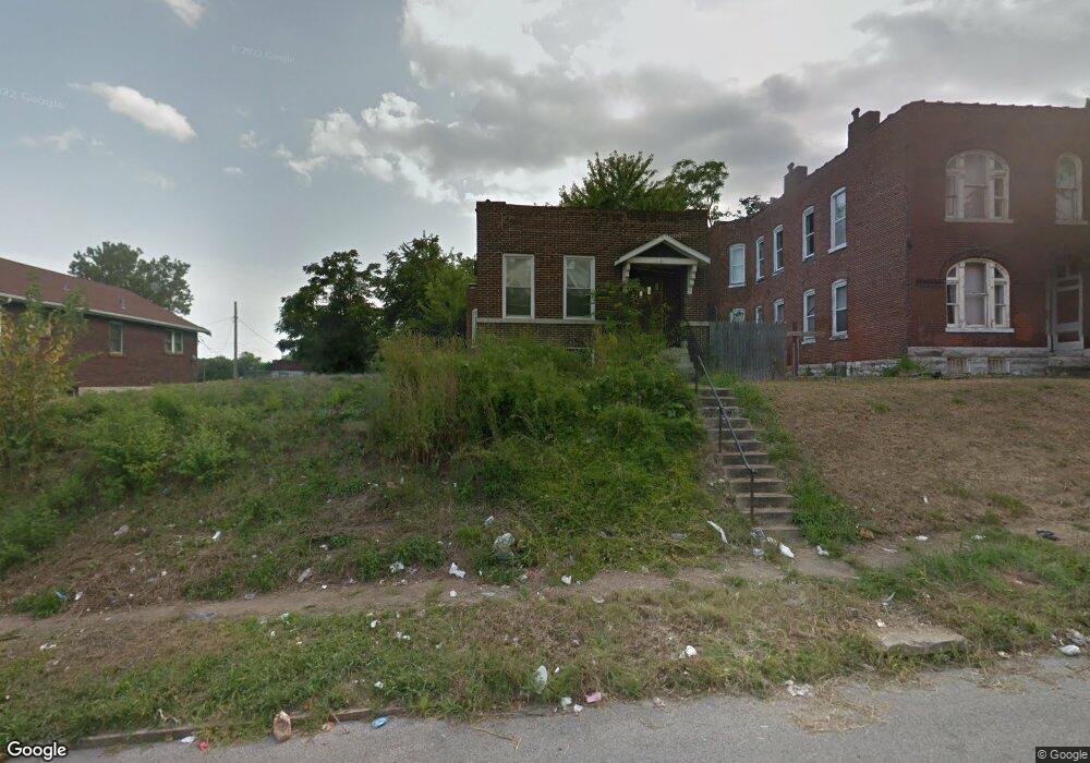
4610 Carter Ave Saint Louis, MO 63115
Penrose NeighborhoodEstimated Value: $56,000 - $67,000
2
Beds
2
Baths
1,340
Sq Ft
$45/Sq Ft
Est. Value
About This Home
This home is located at 4610 Carter Ave, Saint Louis, MO 63115 and is currently estimated at $60,021, approximately $44 per square foot. 4610 Carter Ave is a home located in St. Louis City with nearby schools including Ashland Elementary School, Yeatman-Liddell Middle School, and Vashon High School.
Ownership History
Date
Name
Owned For
Owner Type
Purchase Details
Closed on
Nov 26, 2019
Sold by
Land Reutilization Authority Of City Of
Bought by
Jennings Keith D
Current Estimated Value
Purchase Details
Closed on
Jun 1, 2019
Sold by
Jennings Keith D
Bought by
Williams Denise R
Purchase Details
Closed on
Aug 28, 2017
Sold by
Land Reutilization Authority Of The City
Bought by
Jennings Keith D
Purchase Details
Closed on
Oct 4, 2011
Sold by
Hargrove Janet L
Bought by
Land Reutilization Authority Of The City
Purchase Details
Closed on
Dec 12, 2008
Sold by
Buckner Ella Mae
Bought by
Hargrove Janet L
Create a Home Valuation Report for This Property
The Home Valuation Report is an in-depth analysis detailing your home's value as well as a comparison with similar homes in the area
Home Values in the Area
Average Home Value in this Area
Purchase History
| Date | Buyer | Sale Price | Title Company |
|---|---|---|---|
| Jennings Keith D | -- | None Available | |
| Williams Denise R | -- | None Available | |
| Jennings Keith D | $2,500 | None Available | |
| Land Reutilization Authority Of The City | -- | None Available | |
| Hargrove Janet L | -- | None Available |
Source: Public Records
Tax History
| Year | Tax Paid | Tax Assessment Tax Assessment Total Assessment is a certain percentage of the fair market value that is determined by local assessors to be the total taxable value of land and additions on the property. | Land | Improvement |
|---|---|---|---|---|
| 2025 | $143 | $1,410 | $460 | $950 |
| 2024 | $137 | $1,370 | $460 | $910 |
| 2023 | $137 | $1,370 | $460 | $910 |
| 2022 | $140 | $1,350 | $460 | $890 |
| 2021 | $139 | $1,350 | $460 | $890 |
| 2020 | $140 | $1,370 | $460 | $910 |
| 2019 | $140 | $1,370 | $460 | $910 |
| 2018 | $154 | $1,510 | $460 | $1,050 |
| 2017 | $0 | $1,500 | $460 | $1,050 |
| 2016 | $0 | $4,560 | $860 | $3,710 |
| 2015 | -- | $4,570 | $860 | $3,710 |
| 2014 | -- | $4,570 | $860 | $3,710 |
| 2013 | -- | $6,800 | $1,140 | $5,660 |
Source: Public Records
Map
Nearby Homes
- 4556 Carter Ave
- 4410 Marcus Ave
- 4627 Korte Ave
- 4418 Dryden Ave
- 4709 Penrose St
- 4739 Bessie Ct
- 4341 Shreve Ave
- 4215 Shreve Ave
- 4475 N Taylor Ave
- 4464 Lee Ave
- 4655 Farlin Ave
- 4724 Kossuth Ave
- 4707 Farlin Ave
- 4843 Lee Ave
- 4853 Lee Ave
- 4308 N Euclid Ave
- 4006 Marcus Ave
- 4729 Margaretta Ave
- 4402 Clarence Ave
- 3003 TAYOR N Taylor Ave
- 4614 Carter Ave
- 4604 Carter Ave
- 4620 Carter Ave
- 4622 Carter Ave
- 4600 Carter Ave
- 4315 Cintra Ave
- 4400 Richard Place
- 4580 Carter Ave
- 4611 Anderson Ave
- 4615 Anderson Ave
- 4404 Richard Place
- 4617 Anderson Ave
- 4576 Carter Ave
- 4621 Anderson Ave
- 4609 Anderson Ave
- 4605 Anderson Ave
- 4601 Carter Ave
- 4629 Anderson Ave
- 4408 Richard Place
- 4601 Anderson Ave
Your Personal Tour Guide
Ask me questions while you tour the home.