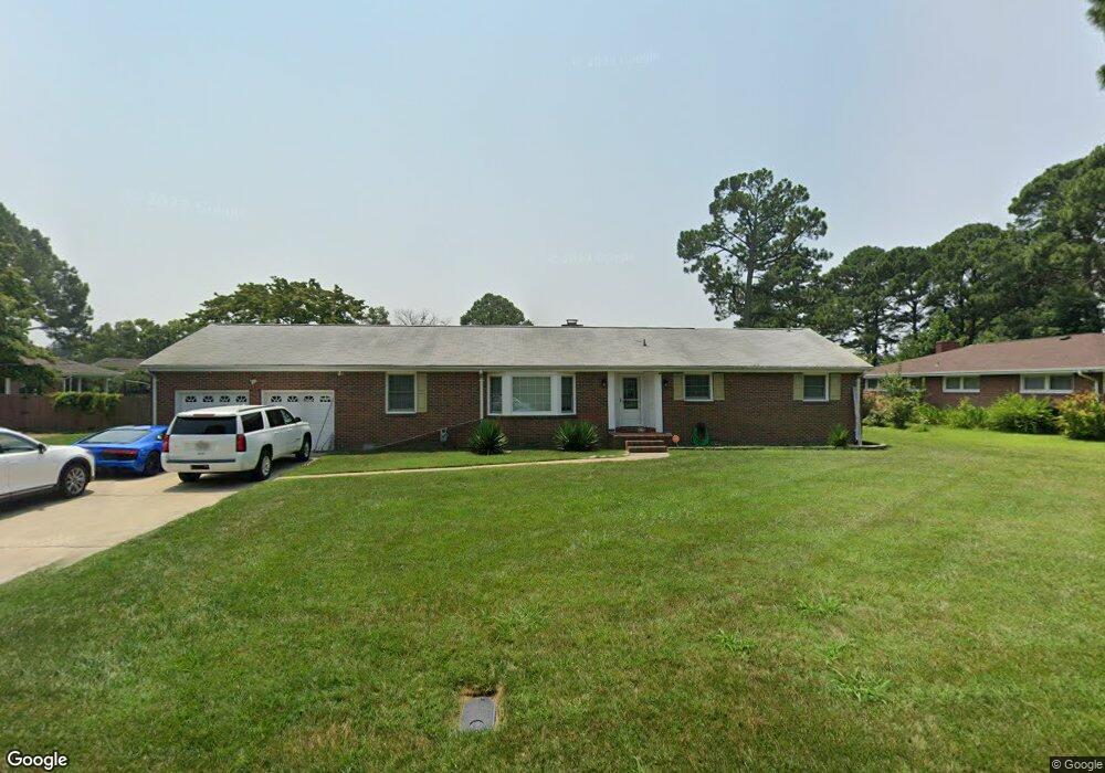
4610 River Shore Rd Portsmouth, VA 23703
Churchland NeighborhoodEstimated Value: $404,000 - $432,000
5
Beds
4
Baths
2,417
Sq Ft
$174/Sq Ft
Est. Value
About This Home
This home is located at 4610 River Shore Rd, Portsmouth, VA 23703 and is currently estimated at $421,122, approximately $174 per square foot. 4610 River Shore Rd is a home located in Portsmouth City with nearby schools including Churchland Primary/Intermediate School, Churchland Middle School, and Churchland High School.
Ownership History
Date
Name
Owned For
Owner Type
Purchase Details
Closed on
Feb 23, 2017
Sold by
Hayes Lewis C
Bought by
Ruffin Mario
Current Estimated Value
Home Financials for this Owner
Home Financials are based on the most recent Mortgage that was taken out on this home.
Original Mortgage
$211,105
Outstanding Balance
$174,612
Interest Rate
4.25%
Mortgage Type
FHA
Estimated Equity
$246,510
Purchase Details
Closed on
Nov 30, 2016
Sold by
Hayes Lewis C
Bought by
Chiarulli Linda C and Hayes David E
Create a Home Valuation Report for This Property
The Home Valuation Report is an in-depth analysis detailing your home's value as well as a comparison with similar homes in the area
Home Values in the Area
Average Home Value in this Area
Purchase History
| Date | Buyer | Sale Price | Title Company |
|---|---|---|---|
| Ruffin Mario | $215,000 | Titlequest Of Hampton Roads | |
| Chiarulli Linda C | -- | None Available |
Source: Public Records
Mortgage History
| Date | Status | Borrower | Loan Amount |
|---|---|---|---|
| Open | Ruffin Mario | $211,105 |
Source: Public Records
Tax History Compared to Growth
Tax History
| Year | Tax Paid | Tax Assessment Tax Assessment Total Assessment is a certain percentage of the fair market value that is determined by local assessors to be the total taxable value of land and additions on the property. | Land | Improvement |
|---|---|---|---|---|
| 2025 | $4,746 | $374,220 | $111,000 | $263,220 |
| 2024 | $4,746 | $371,930 | $111,000 | $260,930 |
| 2023 | $4,420 | $353,620 | $111,000 | $242,620 |
| 2022 | $4,565 | $351,140 | $92,500 | $258,640 |
| 2021 | $4,170 | $320,740 | $75,830 | $244,910 |
| 2020 | $4,123 | $317,130 | $72,220 | $244,910 |
| 2019 | $4,063 | $312,560 | $72,220 | $240,340 |
| 2018 | $3,944 | $303,400 | $72,220 | $231,180 |
| 2017 | $3,944 | $303,400 | $72,220 | $231,180 |
| 2016 | $3,944 | $303,400 | $72,220 | $231,180 |
| 2015 | $3,944 | $303,400 | $72,220 | $231,180 |
| 2014 | $3,835 | $301,990 | $72,220 | $229,770 |
Source: Public Records
Map
Nearby Homes
- 4619 River Shore Rd
- 4444 Southampton Arch
- 21 Windy Pines Crescent
- 4726 River Shore Rd
- 5728 Hawthorne Ln
- 5833 Hawthorne Ln
- 5693 Rivermill Cir
- 4232 Summerset Dr
- 4224 Burnham Dr
- 5606 Gregory Ct
- 4200 Quince Rd
- 6750 Burbage Landing Cir
- 8 Compass Ct
- 6602 James Point Ct
- 4071 Long Point Blvd
- 5028 Bay Cir
- 4028 Swannanoa Dr
- 17 Shoal Ct
- 4100 Mayfair Way
- 6832 Ivanhoe Ct
- 4608 River Shore Rd
- 4614 River Shore Rd
- 4609 Southampton Arch
- 4607 Southampton Arch
- 4611 Southampton Arch
- 4605 Southampton Arch
- 4611 River Shore Rd
- 4604 River Shore Rd
- 4618 River Shore Rd
- 4609 River Shore Rd
- 4615 River Shore Rd
- 4613 Southampton Arch
- 4603 Southampton Arch
- 4605 River Shore Rd
- 4615 Southampton Arch
- 4606 Southampton Arch
- 4602 River Shore Rd
- 4610 Southampton Arch
- 4622 River Shore Rd
- 4604 Southampton Arch