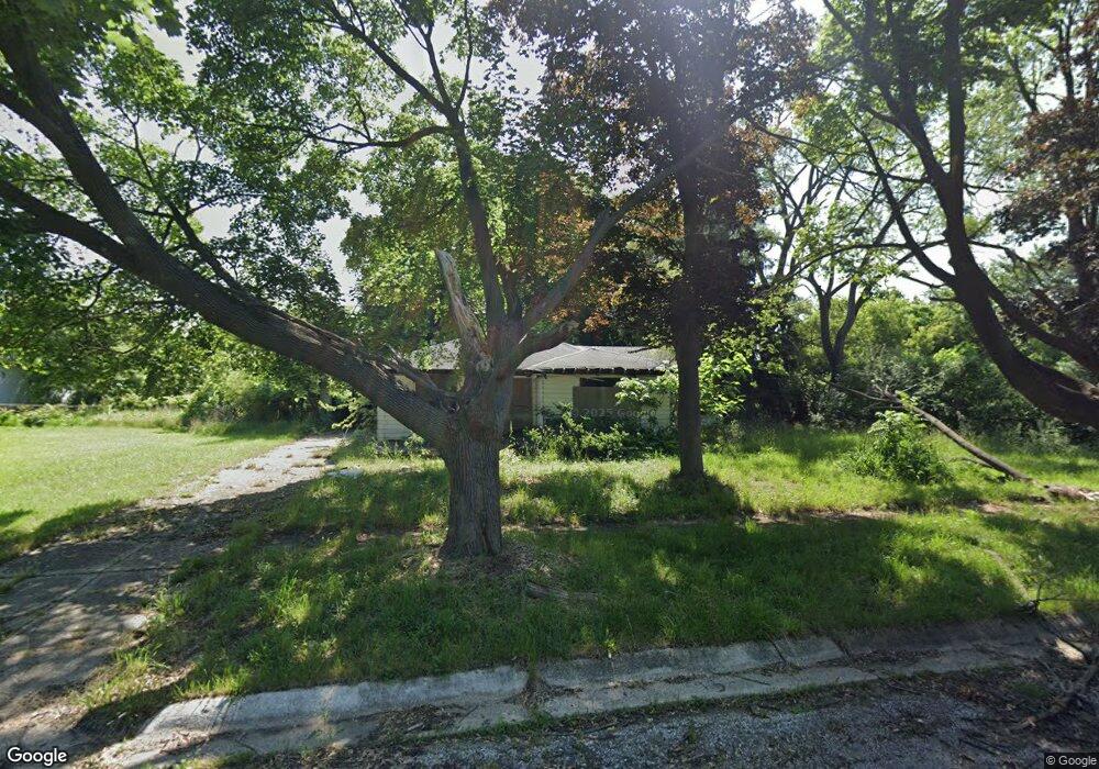
4610 Roberts St Flint, MI 48505
King Avenue Plus NeighborhoodEstimated Value: $40,000 - $48,000
3
Beds
1
Bath
1,384
Sq Ft
$32/Sq Ft
Est. Value
About This Home
This home is located at 4610 Roberts St, Flint, MI 48505 and is currently estimated at $44,000, approximately $31 per square foot. 4610 Roberts St is a home located in Genesee County with nearby schools including Brownell STEM Academy, The New Standard Academy, and Eagle's Nest Academy.
Ownership History
Date
Name
Owned For
Owner Type
Purchase Details
Closed on
Dec 20, 2012
Sold by
Cherry Deborah L and Genesee County Treasurer
Bought by
Genesee County Land Bank
Current Estimated Value
Purchase Details
Closed on
Jun 21, 2005
Sold by
Logwood Vera and Estate Of Hersie Woodall Sr
Bought by
Woodall Jake and Woodall Demetrius
Purchase Details
Closed on
Jan 19, 2005
Sold by
Logwood Vera L and Woodall Bertha
Bought by
Woodall Jake and Woodall Duryea
Purchase Details
Closed on
Jul 27, 2004
Sold by
Smith Stella
Bought by
Logwood Vera L and Woodall Bertha
Create a Home Valuation Report for This Property
The Home Valuation Report is an in-depth analysis detailing your home's value as well as a comparison with similar homes in the area
Home Values in the Area
Average Home Value in this Area
Purchase History
| Date | Buyer | Sale Price | Title Company |
|---|---|---|---|
| Genesee County Land Bank | -- | None Available | |
| Woodall Jake | -- | -- | |
| Woodall Jake | -- | -- | |
| Logwood Vera L | -- | -- |
Source: Public Records
Tax History Compared to Growth
Tax History
| Year | Tax Paid | Tax Assessment Tax Assessment Total Assessment is a certain percentage of the fair market value that is determined by local assessors to be the total taxable value of land and additions on the property. | Land | Improvement |
|---|---|---|---|---|
| 2025 | -- | $0 | $0 | $0 |
| 2024 | -- | $0 | $0 | $0 |
| 2023 | -- | $0 | $0 | $0 |
| 2022 | $0 | $0 | $0 | $0 |
| 2021 | $0 | $0 | $0 | $0 |
| 2020 | $0 | $0 | $0 | $0 |
| 2019 | $0 | $0 | $0 | $0 |
| 2018 | $0 | $0 | $0 | $0 |
| 2017 | $0 | $0 | $0 | $0 |
| 2016 | $0 | $0 | $0 | $0 |
| 2015 | -- | $0 | $0 | $0 |
| 2014 | -- | $0 | $0 | $0 |
| 2012 | -- | $8,600 | $0 | $0 |
Source: Public Records
Map
Nearby Homes
- 733 Black Ave
- 0 E Marengo Ave Unit 50166417
- 4028 North St
- 680 E Pierson Rd
- 726 E Parkway Ave
- 618 E Pulaski Ave
- 618 E Parkway Ave
- 606 Damon St
- 418 Damon St
- 370 E Moore St
- 613 E van Wagoner Ave
- 313 Edwin Ave
- 350 E Mott Ave
- 3810 Marvin St
- 638 E Pasadena Ave
- 802 E Russell Ave
- 1218 E Piper Ave
- 124 W Flint Park Blvd
- 3312 Buick St
- 306 W Bishop Ave
- 4602 Roberts St
- 4605 Industrial Ave
- 4609 Roberts St
- 4520 Roberts St
- 4521 Roberts St
- 931 Wager Ave
- 929 Wager Ave
- 925 Wager Ave
- 4512 Roberts St
- 4517 Roberts St
- 4513 Roberts St
- 921 Wager Ave
- 4602 Industrial Ave
- 4602 Carlton St
- 4524 Carlton St
- 913 Wager Ave
- 4520 Carlton St
- 909 Wager Ave
- 953 Black Ave
- 4516 Carlton St