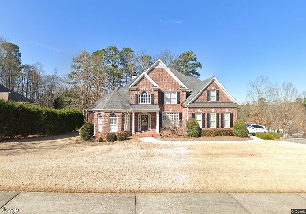
4611 Bryson Cove SW Unit 1 Lilburn, GA 30047
Estimated Value: $616,000 - $643,284
5
Beds
4
Baths
3,333
Sq Ft
$189/Sq Ft
Est. Value
About This Home
This home is located at 4611 Bryson Cove SW Unit 1, Lilburn, GA 30047 and is currently estimated at $628,428, approximately $188 per square foot. 4611 Bryson Cove SW Unit 1 is a home located in Gwinnett County with nearby schools including Knight Elementary School, Trickum Middle School, and Parkview High School.
Ownership History
Date
Name
Owned For
Owner Type
Purchase Details
Closed on
Sep 9, 2011
Sold by
Batey Daryl
Bought by
Batey Melba P
Current Estimated Value
Purchase Details
Closed on
Jul 17, 2002
Sold by
Oak Leaf Buildes Inc
Bought by
Batey Daryl and Batey Melba
Home Financials for this Owner
Home Financials are based on the most recent Mortgage that was taken out on this home.
Original Mortgage
$34,800
Interest Rate
6.62%
Mortgage Type
Credit Line Revolving
Purchase Details
Closed on
Feb 19, 2002
Sold by
Summers Ashley V
Bought by
Oak Leaf Builders Inc
Home Financials for this Owner
Home Financials are based on the most recent Mortgage that was taken out on this home.
Original Mortgage
$25,350
Interest Rate
7.02%
Mortgage Type
Construction
Create a Home Valuation Report for This Property
The Home Valuation Report is an in-depth analysis detailing your home's value as well as a comparison with similar homes in the area
Home Values in the Area
Average Home Value in this Area
Purchase History
| Date | Buyer | Sale Price | Title Company |
|---|---|---|---|
| Batey Melba P | -- | -- | |
| Batey Daryl | $348,000 | -- | |
| Oak Leaf Builders Inc | -- | -- | |
| Summers Ashley V | -- | -- | |
| Bryson Myrtle S | -- | -- |
Source: Public Records
Mortgage History
| Date | Status | Borrower | Loan Amount |
|---|---|---|---|
| Previous Owner | Batey Daryl | $34,800 | |
| Previous Owner | Batey Daryl | $278,400 | |
| Previous Owner | Bryson Myrtle S | $25,350 |
Source: Public Records
Tax History Compared to Growth
Tax History
| Year | Tax Paid | Tax Assessment Tax Assessment Total Assessment is a certain percentage of the fair market value that is determined by local assessors to be the total taxable value of land and additions on the property. | Land | Improvement |
|---|---|---|---|---|
| 2025 | $7,206 | $283,440 | $36,000 | $247,440 |
| 2024 | $7,409 | $284,480 | $36,000 | $248,480 |
| 2023 | $7,409 | $238,840 | $25,200 | $213,640 |
| 2022 | $6,104 | $220,640 | $25,200 | $195,440 |
| 2021 | $4,697 | $147,600 | $25,200 | $122,400 |
| 2020 | $5,567 | $147,600 | $25,200 | $122,400 |
| 2019 | $5,550 | $147,600 | $25,200 | $122,400 |
| 2018 | $5,570 | $147,600 | $25,200 | $122,400 |
| 2016 | $5,165 | $135,080 | $20,400 | $114,680 |
| 2015 | $5,222 | $135,080 | $20,400 | $114,680 |
| 2014 | -- | $120,040 | $20,400 | $99,640 |
Source: Public Records
Map
Nearby Homes
- 4151 Tillrock Ln
- 4171 Tillrock Ln
- 4191 Tillrock Ln
- 4131 Tillrock Ln
- The Tyndall Plan at Annsbury Park
- The Maisie II Plan at Annsbury Park
- The Sadler Plan at Annsbury Park
- The Talbot Plan at Annsbury Park
- The Idlewild Plan at Annsbury Park
- 4627 Nantucket Dr SW
- 4740 Nantucket Dr SW
- 4160 Tillrock Ln
- 4181 Tillrock Ln
- 217 Sandra Dr NW Unit 4
- 147 Railroad Ave NW
- 237 Sandra Dr NW
- 146 King David Dr SW
- 232 Sarann Ct NW
- 219 Poplar St NW
- 183 Timothy Ln NW Unit 1
- 4621 Bryson Cove SW
- 90 Bryson Landing SW
- 4631 Bryson Cove SW
- 85 Bryson Landing SW Unit 1
- 75 Bryson Landing SW
- 60 Bryson Landing SW
- 65 Bryson Landing SW
- 4620 Bryson Cove SW
- 105 Bryson Landing SW
- 100 Bryson Landing SW
- 95 Bryson Landing SW
- 4641 Bryson Cove SW Unit 35
- 4641 Bryson Cove SW Unit 4
- 4572 Montauk Rd SW
- 55 Bryson Landing SW
- 0 Bryson Landing SW Unit 8938995
- 0 Bryson Landing SW Unit 8993954
- 0 Bryson Landing SW
- 0 Bryson Cove SW Unit 8277203
- 0 Bryson Cove SW Unit 8991885