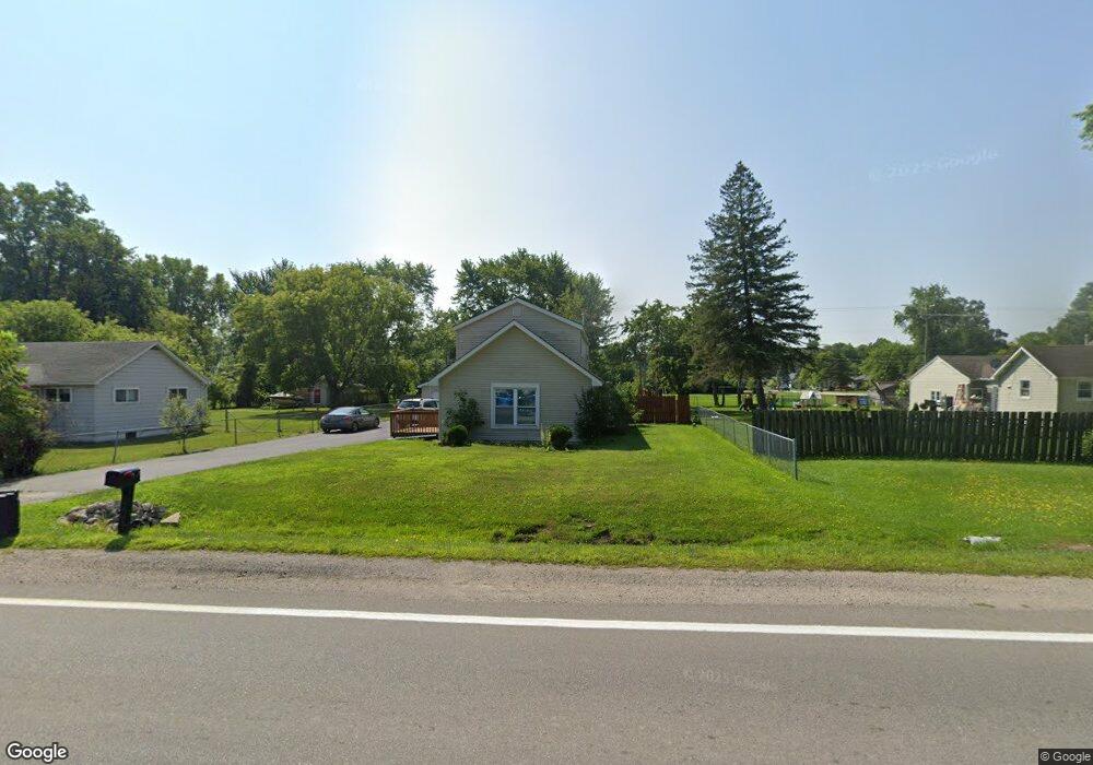
4611 Griswold Rd Kimball, MI 48074
Estimated Value: $158,000 - $231,000
3
Beds
1
Bath
1,540
Sq Ft
$123/Sq Ft
Est. Value
About This Home
This home is located at 4611 Griswold Rd, Kimball, MI 48074 and is currently estimated at $189,465, approximately $123 per square foot. 4611 Griswold Rd is a home located in St. Clair County with nearby schools including Kimball Elementary School, Central Middle School, and Port Huron High School.
Ownership History
Date
Name
Owned For
Owner Type
Purchase Details
Closed on
Nov 21, 2024
Sold by
Macey Jenny and Schultz Joseph
Bought by
Macey Jenny and Schultz Joseph
Current Estimated Value
Home Financials for this Owner
Home Financials are based on the most recent Mortgage that was taken out on this home.
Original Mortgage
$33,292
Interest Rate
6.95%
Mortgage Type
Seller Take Back
Purchase Details
Closed on
May 25, 2011
Sold by
Secretary Of Housing & Urban Development
Bought by
Macey Jenny
Purchase Details
Closed on
Jan 26, 2011
Sold by
Wells Fargo Bank Na
Bought by
The Secretary Of Housing & Urban Develop
Purchase Details
Closed on
Jun 24, 2010
Sold by
Henderson Thomas R and Henderson Diana
Bought by
Wells Fargo Bank Na
Create a Home Valuation Report for This Property
The Home Valuation Report is an in-depth analysis detailing your home's value as well as a comparison with similar homes in the area
Home Values in the Area
Average Home Value in this Area
Purchase History
| Date | Buyer | Sale Price | Title Company |
|---|---|---|---|
| Macey Jenny | -- | None Listed On Document | |
| Macey Jenny | -- | None Listed On Document | |
| Macey Jenny | -- | None Available | |
| The Secretary Of Housing & Urban Develop | -- | None Available | |
| Wells Fargo Bank Na | $137,751 | None Available |
Source: Public Records
Mortgage History
| Date | Status | Borrower | Loan Amount |
|---|---|---|---|
| Previous Owner | Macey Jenny | $33,292 |
Source: Public Records
Tax History Compared to Growth
Tax History
| Year | Tax Paid | Tax Assessment Tax Assessment Total Assessment is a certain percentage of the fair market value that is determined by local assessors to be the total taxable value of land and additions on the property. | Land | Improvement |
|---|---|---|---|---|
| 2025 | $1,633 | $79,200 | $0 | $0 |
| 2024 | $751 | $78,300 | $0 | $0 |
| 2023 | $683 | $75,500 | $0 | $0 |
| 2022 | $1,271 | $66,900 | $0 | $0 |
| 2021 | $1,176 | $63,700 | $0 | $0 |
| 2020 | $1,176 | $56,100 | $56,100 | $0 |
| 2019 | $1,366 | $56,900 | $0 | $0 |
| 2018 | $1,365 | $48,400 | $0 | $0 |
| 2017 | $1,522 | $48,500 | $0 | $0 |
| 2016 | $556 | $48,500 | $0 | $0 |
| 2015 | -- | $46,900 | $46,900 | $0 |
| 2014 | -- | $39,100 | $39,100 | $0 |
| 2013 | -- | $47,300 | $0 | $0 |
Source: Public Records
Map
Nearby Homes
- 4595 Griswold Rd
- 0000 Range Rd
- 4632 Cloverdale Ln
- 1830 Leland Rd
- 00 Howard Rd
- 1405 Range Rd
- 0 Wall Rd Unit 50185999
- 1979 Allen Rd
- 00 Range Rd
- V/L Allen
- 1701 Allen Rd
- 0 Allen Rd Unit 20250008597
- 0 Allen Rd Unit 20250008612
- 1604 Allen Rd
- 4380 Lapeer Rd
- 0 Lapeer Rd Unit 50137357
- 2650 Alger Rd
- 4911 Castlewood Dr
- 174 Meadow Ln
- 104 Oldbrook Ln
- 4605 Griswold Rd
- 4621 Griswold Rd
- 4606 Griswold Rd
- 4625 Griswold Rd
- 4587 Griswold Rd
- 4626 Griswold Rd
- 4602 Griswold Rd
- 4622 Griswold Rd
- 4629 Griswold Rd
- 4590 Griswold Rd
- 4618 Griswold Rd
- 1975 Harvey Rd
- 4630 Griswold Rd
- 4585 Griswold Rd
- 1960 Harvey Rd
- 4638 Griswold Rd
- 4575 Griswold Rd
- 1952 Harvey Rd
- 4610 Griswold Rd
- 4645 Griswold Rd