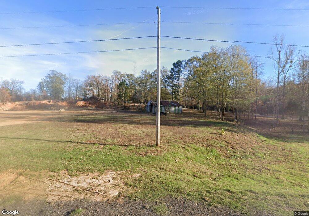
4611 Highway 71 S Hatfield, AR 71945
Estimated Value: $50,681 - $126,000
--
Bed
2
Baths
1,892
Sq Ft
$47/Sq Ft
Est. Value
About This Home
This home is located at 4611 Highway 71 S, Hatfield, AR 71945 and is currently estimated at $88,341, approximately $46 per square foot. 4611 Highway 71 S is a home located in Polk County with nearby schools including Holly Harshman Elementary School, Mena Middle School, and Mena High School.
Ownership History
Date
Name
Owned For
Owner Type
Purchase Details
Closed on
Sep 26, 2016
Sold by
Craig Wallace James
Bought by
Fairless Loyd Lee and Fairless Angela M
Current Estimated Value
Purchase Details
Closed on
May 18, 2000
Bought by
Craig Wallace James
Purchase Details
Closed on
Oct 6, 1999
Bought by
Scott County Bank and % Scott County Bank
Purchase Details
Closed on
Jun 15, 1999
Bought by
State Of Ar
Purchase Details
Closed on
Dec 1, 1995
Bought by
Hall Loncy and Hall Esther
Create a Home Valuation Report for This Property
The Home Valuation Report is an in-depth analysis detailing your home's value as well as a comparison with similar homes in the area
Home Values in the Area
Average Home Value in this Area
Purchase History
| Date | Buyer | Sale Price | Title Company |
|---|---|---|---|
| Fairless Loyd Lee | $28,500 | Mena Title Company Inc | |
| Craig Wallace James | $25,000 | -- | |
| Scott County Bank | -- | -- | |
| State Of Ar | -- | -- | |
| Hall Loncy | $54,000 | -- |
Source: Public Records
Mortgage History
| Date | Status | Borrower | Loan Amount |
|---|---|---|---|
| Previous Owner | Hall Loncy | $21,259 |
Source: Public Records
Tax History Compared to Growth
Tax History
| Year | Tax Paid | Tax Assessment Tax Assessment Total Assessment is a certain percentage of the fair market value that is determined by local assessors to be the total taxable value of land and additions on the property. | Land | Improvement |
|---|---|---|---|---|
| 2024 | $51 | $3,290 | $3,230 | $60 |
| 2023 | $48 | $3,290 | $3,230 | $60 |
| 2022 | $44 | $1,020 | $960 | $60 |
| 2021 | $44 | $1,020 | $960 | $60 |
| 2020 | $45 | $1,020 | $960 | $60 |
| 2019 | $309 | $7,180 | $960 | $6,220 |
| 2018 | $309 | $7,180 | $960 | $6,220 |
| 2017 | $410 | $9,570 | $1,100 | $8,470 |
| 2016 | $71 | $9,570 | $1,100 | $8,470 |
| 2015 | $71 | $9,570 | $1,100 | $8,470 |
| 2014 | $67 | $9,570 | $1,100 | $8,470 |
Source: Public Records
Map
Nearby Homes
- TBD Polk County Road 28
- 120 Kings Cir
- 130 Polk Road 30
- 130 W Johnson St
- 105 Polk Road 282
- 122 Polk Road 286
- 430 Polk Road 30
- 441 Polk County Road 30
- 570 Polk County Road 31
- 4250 U S 71
- 199 Polk Road 414
- 610 Polk Road 35
- 487 Polk Road 34
- TBD Easement Road Off of Polk 295 Unit Parcel 2
- TBD Easement Road Off of Polk 295 Unit Parcel 1
- TBD Pioneer Ln W
- 120 Pioneer Ln W
- TBD Pioneer Lane West Lot #4
- 9999 Polk County Road 38
- 1256 Polk Road 38
- 4623 Highway 71 S
- 4579 Highway 71 S
- unk Polk County Road 91
- 113 Polk Road 91
- 176 Hwy 256 W
- TBD Polk 158
- 9999 Unknown Rd
- 168 Polk Road 191
- 0 Cr 153 Unit 21017619
- Tract 2 Tbd Polk Road 28
- TBD Polk 158 Parcel 1
- TBD Polk 158 Parcel 4
- TBD Polk 158 Parcel 3
- TBD Polk 158 Parcel 2 Rd
- 0 Polk 158 Unit 22031211
- 125 Moss Ln
- XXXX Confidential
- xxxx Hwy 71 S
- 113 Moss Ln
- na Na