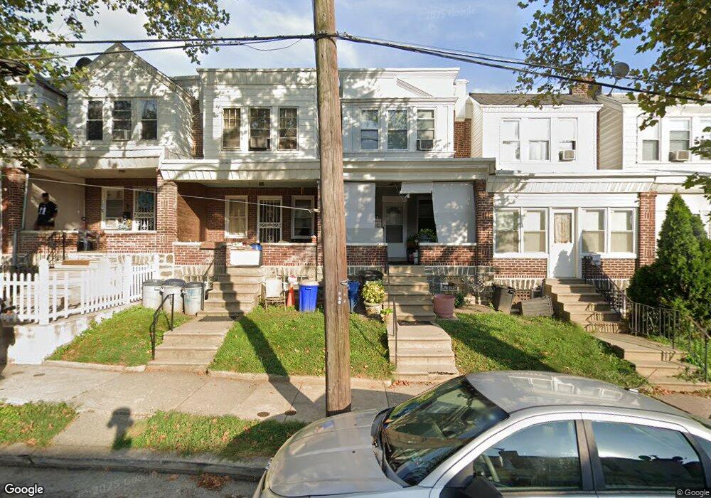
4611 Horrocks St Philadelphia, PA 19124
Frankford NeighborhoodEstimated Value: $172,000 - $198,685
3
Beds
1
Bath
1,270
Sq Ft
$145/Sq Ft
Est. Value
About This Home
This home is located at 4611 Horrocks St, Philadelphia, PA 19124 and is currently estimated at $184,171, approximately $145 per square foot. 4611 Horrocks St is a home located in Philadelphia County with nearby schools including John Marshall School, Harding Warren G Middle School, and Frankford High School.
Ownership History
Date
Name
Owned For
Owner Type
Purchase Details
Closed on
Sep 10, 2009
Sold by
Resources For Human Development Inc
Bought by
Mason Michael
Current Estimated Value
Home Financials for this Owner
Home Financials are based on the most recent Mortgage that was taken out on this home.
Original Mortgage
$78,400
Outstanding Balance
$51,377
Interest Rate
5.31%
Mortgage Type
New Conventional
Estimated Equity
$132,794
Create a Home Valuation Report for This Property
The Home Valuation Report is an in-depth analysis detailing your home's value as well as a comparison with similar homes in the area
Home Values in the Area
Average Home Value in this Area
Purchase History
| Date | Buyer | Sale Price | Title Company |
|---|---|---|---|
| Mason Michael | $72,469 | None Available |
Source: Public Records
Mortgage History
| Date | Status | Borrower | Loan Amount |
|---|---|---|---|
| Open | Mason Michael | $78,400 |
Source: Public Records
Tax History Compared to Growth
Tax History
| Year | Tax Paid | Tax Assessment Tax Assessment Total Assessment is a certain percentage of the fair market value that is determined by local assessors to be the total taxable value of land and additions on the property. | Land | Improvement |
|---|---|---|---|---|
| 2026 | $1,940 | $184,800 | $36,900 | $147,900 |
| 2025 | $1,940 | $184,800 | $36,900 | $147,900 |
| 2024 | $1,940 | $184,800 | $36,900 | $147,900 |
| 2023 | $1,940 | $138,600 | $27,720 | $110,880 |
| 2022 | $761 | $93,600 | $27,720 | $65,880 |
| 2021 | $1,391 | $0 | $0 | $0 |
| 2020 | $1,391 | $0 | $0 | $0 |
| 2019 | $1,335 | $0 | $0 | $0 |
| 2018 | $841 | $0 | $0 | $0 |
| 2017 | $1,261 | $0 | $0 | $0 |
| 2016 | $841 | $0 | $0 | $0 |
| 2015 | $805 | $0 | $0 | $0 |
| 2014 | -- | $90,100 | $15,553 | $74,547 |
| 2012 | -- | $12,736 | $1,251 | $11,485 |
Source: Public Records
Map
Nearby Homes
- 4600 Horrocks St
- 1241 Orthodox St
- 4632 Oakland St
- 4626 Pilling St
- 4628 Pilling St
- 4431 Oakland St
- 1338-40 Sellers St
- 1208 Unity St
- 1242 48 Adams Ave
- 1348 Sellers St
- 4461 Leiper St
- 4665 Leiper St
- 1001-3 Arrott St
- 4717 Northwood St
- 1424 Sellers St
- 1337 Sellers St
- 1417 Unity St
- 1518 Overington St
- 4720 Penn St
- 4328 Leiper St
- 4609 Horrocks St
- 4613 Horrocks St
- 4607 Horrocks St
- 4615 Horrocks St
- 4605 Horrocks St
- 4617 Horrocks St
- 4603 Horrocks St
- 4619 Horrocks St
- 4621 Horrocks St
- 4623 Horrocks St
- 1243 Orthodox St
- 1245 Orthodox St
- 4625 Horrocks St
- 1247 Orthodox St
- 4610 Horrocks St
- 4627 Horrocks St
- 4606 Horrocks St
- 4604 Horrocks St
- 4614 Horrocks St
- 4608 Horrocks St