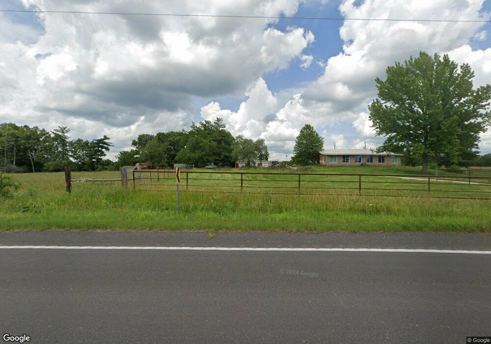
4612 Highway 47 Lonedell, MO 63060
Estimated Value: $203,000 - $354,000
3
Beds
1
Bath
1,260
Sq Ft
$223/Sq Ft
Est. Value
About This Home
This home is located at 4612 Highway 47, Lonedell, MO 63060 and is currently estimated at $281,591, approximately $223 per square foot. 4612 Highway 47 is a home located in Franklin County with nearby schools including Lonedell Elementary School.
Ownership History
Date
Name
Owned For
Owner Type
Purchase Details
Closed on
Feb 24, 2012
Sold by
Lavely Elmer L and Lavely Elmer L
Bought by
Lavely Elmer L and Lavely Rhonda A
Current Estimated Value
Home Financials for this Owner
Home Financials are based on the most recent Mortgage that was taken out on this home.
Original Mortgage
$32,000
Outstanding Balance
$4,141
Interest Rate
4.05%
Mortgage Type
FHA
Estimated Equity
$277,450
Purchase Details
Closed on
Nov 4, 2009
Sold by
Hsbc Bank
Bought by
Lavely Eimer L
Home Financials for this Owner
Home Financials are based on the most recent Mortgage that was taken out on this home.
Original Mortgage
$109,250
Interest Rate
4.33%
Mortgage Type
New Conventional
Purchase Details
Closed on
Apr 10, 2009
Sold by
Davidson Loy E
Bought by
Hsbc Bank Usa and Cmlt 2004-He1
Create a Home Valuation Report for This Property
The Home Valuation Report is an in-depth analysis detailing your home's value as well as a comparison with similar homes in the area
Home Values in the Area
Average Home Value in this Area
Purchase History
| Date | Buyer | Sale Price | Title Company |
|---|---|---|---|
| Lavely Elmer L | -- | None Available | |
| Lavely Eimer L | -- | None Available | |
| Hsbc Bank Usa | $106,200 | None Available |
Source: Public Records
Mortgage History
| Date | Status | Borrower | Loan Amount |
|---|---|---|---|
| Open | Lavely Elmer L | $32,000 | |
| Previous Owner | Lavely Eimer L | $109,250 |
Source: Public Records
Tax History Compared to Growth
Tax History
| Year | Tax Paid | Tax Assessment Tax Assessment Total Assessment is a certain percentage of the fair market value that is determined by local assessors to be the total taxable value of land and additions on the property. | Land | Improvement |
|---|---|---|---|---|
| 2024 | $1,687 | $29,564 | $0 | $0 |
| 2023 | $1,687 | $29,564 | $0 | $0 |
| 2022 | $1,560 | $27,330 | $0 | $0 |
| 2021 | $1,557 | $27,330 | $0 | $0 |
| 2020 | $1,410 | $24,373 | $0 | $0 |
| 2019 | $1,407 | $24,373 | $0 | $0 |
| 2018 | $1,372 | $23,628 | $0 | $0 |
| 2017 | $1,302 | $22,617 | $0 | $0 |
| 2016 | $1,197 | $20,768 | $0 | $0 |
| 2015 | $1,193 | $20,768 | $0 | $0 |
| 2014 | $1,110 | $19,881 | $0 | $0 |
Source: Public Records
Map
Nearby Homes
- 20923 W State Highway 47
- 0 Shepard Ln
- 0 Apollo Dr
- 209 Apollo Dr
- 10028 Maple Dr
- 18 +/- Acres
- 10746 Forest Ln
- Lot 4 Thunder Ridge Rd
- Lot 3 Thunder Ridge Rd
- 0 Alpine Rd Unit MAR24059049
- 9041 Rye Creek Rd
- 0 Tbd Diamond School Rd
- 000 Bucks Crossing
- 000 Bucks Crossing Rd
- 28 Kelemen Farms W
- 10215 State Road Ww
- 0 Rye Creek Rd Unit MAR25023110
- 0 Little Indian Creek Rd
- 11027 State Road Ww
- 10715 Calico Rd
- 4613 Highway 47
- 8852 Highway Ff
- 8801 Highway Ff
- 4556 Highway 47
- 4557 Highway 47
- 3958 Burlage Rd
- 20923 W State Hwy 47
- 3914 Burlage Rd
- 8769 Highway Ff
- 3975 Burlage Rd
- 4529 Highway 47
- 8763 Highway Ff
- 8736 Highway Ff
- 3957 Burlage Rd
- 332 Gorden Ln
- 4511 Highway 47
- 8746 Highway Ff
- 20833 W State Highway 47
- 20879 W State Highway 47