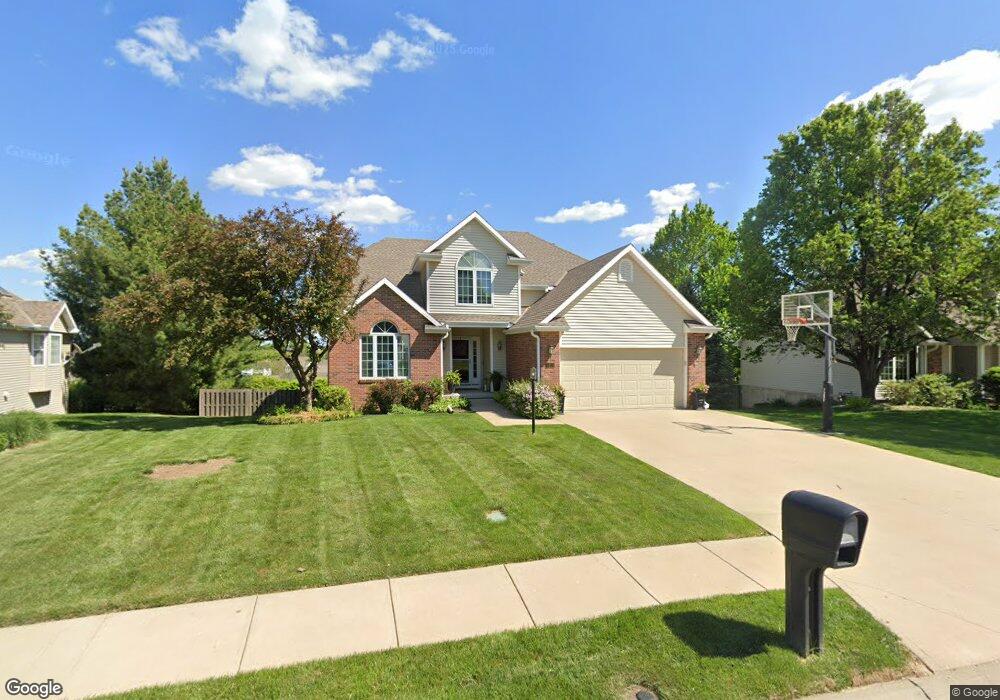
4612 Wilshire Dr S Saint Joseph, MO 64506
East Saint Joseph NeighborhoodEstimated Value: $395,688 - $442,000
--
Bed
--
Bath
1,636
Sq Ft
$255/Sq Ft
Est. Value
About This Home
This home is located at 4612 Wilshire Dr S, Saint Joseph, MO 64506 and is currently estimated at $416,672, approximately $254 per square foot. 4612 Wilshire Dr S is a home located in Buchanan County with nearby schools including Oak Grove Elementary School, Bode Middle School, and Central High School.
Ownership History
Date
Name
Owned For
Owner Type
Purchase Details
Closed on
Feb 4, 2021
Sold by
Burri Peter E and Burri Marti J
Bought by
Sumpter Richard L and Sumpter Mickey A
Current Estimated Value
Home Financials for this Owner
Home Financials are based on the most recent Mortgage that was taken out on this home.
Original Mortgage
$200,000
Outstanding Balance
$178,567
Interest Rate
2.6%
Mortgage Type
New Conventional
Estimated Equity
$238,105
Purchase Details
Closed on
Sep 27, 2019
Sold by
Burri Peter E and Burri Marti J
Bought by
Burri Peter E and Burri Marti J
Create a Home Valuation Report for This Property
The Home Valuation Report is an in-depth analysis detailing your home's value as well as a comparison with similar homes in the area
Home Values in the Area
Average Home Value in this Area
Purchase History
| Date | Buyer | Sale Price | Title Company |
|---|---|---|---|
| Sumpter Richard L | -- | First American Title Ins Co | |
| Burri Peter E | -- | None Available |
Source: Public Records
Mortgage History
| Date | Status | Borrower | Loan Amount |
|---|---|---|---|
| Open | Sumpter Richard L | $200,000 |
Source: Public Records
Tax History Compared to Growth
Tax History
| Year | Tax Paid | Tax Assessment Tax Assessment Total Assessment is a certain percentage of the fair market value that is determined by local assessors to be the total taxable value of land and additions on the property. | Land | Improvement |
|---|---|---|---|---|
| 2024 | $3,330 | $47,570 | $5,890 | $41,680 |
| 2023 | $3,330 | $47,570 | $5,890 | $41,680 |
| 2022 | $3,083 | $47,570 | $5,890 | $41,680 |
| 2021 | $3,097 | $47,570 | $5,890 | $41,680 |
| 2020 | $3,080 | $47,570 | $5,890 | $41,680 |
| 2019 | $2,971 | $47,570 | $5,890 | $41,680 |
| 2018 | $2,677 | $47,570 | $5,890 | $41,680 |
| 2017 | $2,652 | $47,570 | $0 | $0 |
| 2015 | $2,585 | $47,570 | $0 | $0 |
| 2014 | $2,585 | $47,570 | $0 | $0 |
Source: Public Records
Map
Nearby Homes
- 4703 Wilshire Dr N
- 0 N Pointe Dr
- 5411 N Pointe Dr
- 5408 N Pointe Dr
- 2 N Pointe Dr
- 5415 N Pointe Dr
- 5418 N Pointe Dr
- 1901 Lion Rd
- 2409 Elephant Trail
- 4311 Hidden Valley Dr
- 4809 N Lakewood Dr
- 4313 Hidden Valley Dr
- 2607 Ashmat Ln
- 4902 Corinth Dr
- 4216 Gene Field Rd
- 2306 Woodridge Ct
- 4304 Kensington Dr
- 1414 Rifle Terrace
- 3201 Sheffield Ln
- 3804 Kingston Ct
- 4610 Wilshire Dr S
- 4614 Wilshire Dr S
- 2914 Eastbrook Ct
- 2912 Eastbrook Ct
- 2916 Eastbrook Ct
- 4608 Wilshire Dr S
- 4702 Ashbey Dr
- 2910 Eastbrook Ct
- 4704 Ashbey Dr
- 4716 Wilshire Dr N
- 2908 Eastbrook Ct
- 4613 Wilshire Dr S
- 4606 Wilshire Dr S
- 2906 Eastbrook Ct
- 4805 Wilshire Dr N
- 4801 Kelsey Ct
- 4714 Wilshire Dr N
- 2907 Eastbrook Ct
- 4803 Wilshire Dr N
- 4801 Wilshire Dr N