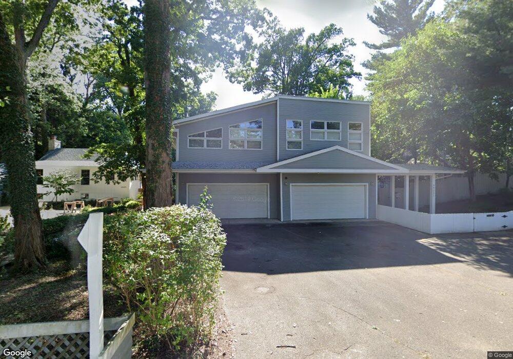
46121 Whitewood Ave New Buffalo, MI 49117
Estimated Value: $929,000 - $1,516,000
3
Beds
2
Baths
3,420
Sq Ft
$357/Sq Ft
Est. Value
About This Home
This home is located at 46121 Whitewood Ave, New Buffalo, MI 49117 and is currently estimated at $1,219,925, approximately $356 per square foot. 46121 Whitewood Ave is a home located in Berrien County with nearby schools including New Buffalo Elementary School, New Buffalo Middle School, and New Buffalo Senior High School.
Ownership History
Date
Name
Owned For
Owner Type
Purchase Details
Closed on
Oct 20, 2004
Sold by
Maloney Joseph P and Maloney Kerry K
Bought by
Maloney Kerry K
Current Estimated Value
Purchase Details
Closed on
May 24, 2004
Sold by
Iwamoto Donna L and Zimmerman Jack
Bought by
Maloney Joseph P and Maloney Kerry K
Home Financials for this Owner
Home Financials are based on the most recent Mortgage that was taken out on this home.
Original Mortgage
$536,000
Outstanding Balance
$259,938
Interest Rate
5.99%
Mortgage Type
Purchase Money Mortgage
Estimated Equity
$959,987
Purchase Details
Closed on
Mar 19, 1991
Purchase Details
Closed on
Jun 7, 1985
Create a Home Valuation Report for This Property
The Home Valuation Report is an in-depth analysis detailing your home's value as well as a comparison with similar homes in the area
Home Values in the Area
Average Home Value in this Area
Purchase History
| Date | Buyer | Sale Price | Title Company |
|---|---|---|---|
| Maloney Kerry K | -- | -- | |
| Maloney Joseph P | $670,000 | -- | |
| -- | -- | -- | |
| -- | $50,000 | -- |
Source: Public Records
Mortgage History
| Date | Status | Borrower | Loan Amount |
|---|---|---|---|
| Open | Maloney Joseph P | $536,000 |
Source: Public Records
Tax History Compared to Growth
Tax History
| Year | Tax Paid | Tax Assessment Tax Assessment Total Assessment is a certain percentage of the fair market value that is determined by local assessors to be the total taxable value of land and additions on the property. | Land | Improvement |
|---|---|---|---|---|
| 2025 | $6,988 | $480,400 | $0 | $0 |
| 2024 | $7,376 | $532,700 | $0 | $0 |
| 2023 | $7,049 | $493,900 | $0 | $0 |
| 2022 | $6,743 | $368,100 | $0 | $0 |
| 2021 | $7,961 | $317,000 | $17,500 | $299,500 |
| 2020 | $10,478 | $316,900 | $0 | $0 |
| 2019 | $13,039 | $353,700 | $40,000 | $313,700 |
| 2018 | $22,261 | $345,300 | $0 | $0 |
| 2017 | $12,910 | $313,500 | $0 | $0 |
| 2016 | $12,254 | $317,100 | $0 | $0 |
| 2015 | $12,217 | $320,700 | $0 | $0 |
| 2014 | $6,861 | $291,400 | $0 | $0 |
Source: Public Records
Map
Nearby Homes
- 19343 Ravine Dr
- 19300 Highland Dr
- 46306 Station Rd
- 46304 Station Rd
- 14417 Pinewood Dr
- 90 East Ct
- 47102 Cedar Ave
- no number E Court Dr
- 45308 Fairway Dr
- 6 Lilac Ln
- V/L Lot 1 Ponchartrain Dr
- 1 Lake View Ave
- 0 Lake View Ave
- 4 Lilac Ln
- 2 Lilac Ln
- 3 Lilac Ln
- 4202 Grand Beach Rd
- 1 Lilac Ln
- 4160 Creek Dr
- 19694 Dogwood Dr
- 46123 Whitewood Ave
- 46125 Whitewood Ave
- 46116 Whitewood Ave
- 46112 Whitewood Ave
- 46119 Whitewood Ave
- 46127 Whitewood Ave
- 46118 Whitewood Ave
- 46115 Royal Ave
- 46113 Royal Ave
- 46115 Whitewood Ave
- 46119 Royal Ave
- 46110 Whitewood Ave
- 19364 Ravine Dr
- 46111 Royal Ave
- 19287 Ravine Dr
- 46111 Whitewood Ave
- 46202 Perkins Blvd
- 46109 Whitewood Ave
- 46109 Royal Ave
- 46120 Royal Ave