4613 Lamie Hwy Charlotte, MI 48813
Estimated Value: $256,464 - $348,000
--
Bed
--
Bath
1,590
Sq Ft
$192/Sq Ft
Est. Value
About This Home
This home is located at 4613 Lamie Hwy, Charlotte, MI 48813 and is currently estimated at $304,616, approximately $191 per square foot. 4613 Lamie Hwy is a home located in Eaton County with nearby schools including Washington Elementary School, Charlotte Middle School, and Charlotte Upper Elementary School.
Ownership History
Date
Name
Owned For
Owner Type
Purchase Details
Closed on
Feb 3, 2020
Sold by
Newman Diana Sue and Newman Joseph E
Bought by
Newman Diana Sue and Dick Megan Nicole
Current Estimated Value
Purchase Details
Closed on
Apr 5, 2016
Sold by
Newman Diana Sue and Newman Joseph E
Bought by
Newman Steven J and Hosey Mary Jo
Purchase Details
Closed on
May 23, 2012
Sold by
Newman Diana S
Bought by
Newman Steven J and Hosey Mary Jo
Create a Home Valuation Report for This Property
The Home Valuation Report is an in-depth analysis detailing your home's value as well as a comparison with similar homes in the area
Home Values in the Area
Average Home Value in this Area
Purchase History
| Date | Buyer | Sale Price | Title Company |
|---|---|---|---|
| Newman Diana Sue | -- | None Available | |
| Newman Steven J | -- | Attorney | |
| Newman Steven J | -- | None Available |
Source: Public Records
Tax History Compared to Growth
Tax History
| Year | Tax Paid | Tax Assessment Tax Assessment Total Assessment is a certain percentage of the fair market value that is determined by local assessors to be the total taxable value of land and additions on the property. | Land | Improvement |
|---|---|---|---|---|
| 2025 | $1,832 | $139,400 | $0 | $0 |
| 2024 | $695 | $131,700 | $0 | $0 |
| 2023 | $661 | $115,700 | $0 | $0 |
| 2022 | $1,600 | $102,100 | $0 | $0 |
| 2021 | $1,491 | $94,100 | $0 | $0 |
| 2020 | $1,491 | $93,500 | $0 | $0 |
| 2019 | $1,470 | $87,248 | $0 | $0 |
| 2018 | $0 | $83,857 | $0 | $0 |
| 2017 | -- | $82,290 | $0 | $0 |
| 2016 | -- | $49,914 | $0 | $0 |
| 2015 | -- | $52,634 | $0 | $0 |
| 2014 | -- | $55,857 | $0 | $0 |
| 2013 | -- | $56,008 | $0 | $0 |
Source: Public Records
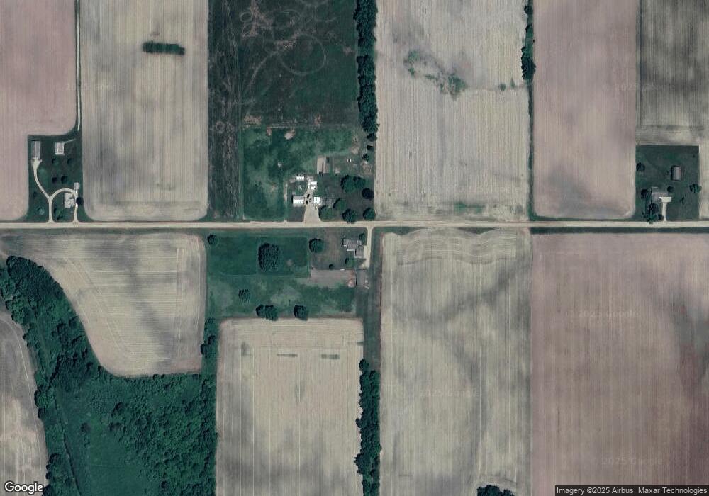
Map
Nearby Homes
- 2402 N Stine Rd
- V/l W Vermontville Hwy
- 2160 N Shaytown Rd
- 220 N Chester Rd
- Vl W Kinsel Hwy
- Vl Montels Parcel D Way
- 854 S Ainger Rd
- 0 Montels Parcel H Way
- 4755 Carlisle Hwy
- 4716 Margaret Dr
- 8100 Valley Hwy
- 525 N Wheaton Rd
- 1272 W Lawrence Hwy
- 674 Beech Hwy
- 0 E Kinsel Hwy Unit 20251030636
- 327 E Main St
- 922 High St
- 243 Maple St
- 138 Canterbury Dr
- 717 High St
- 4965 Lamie Hwy
- 4238 Lamie Hwy
- 2679 N Ainger Rd
- 2917 N Chester Rd
- 2519 N Ainger Rd
- 2467 N Ainger Rd
- 2551 N Chester Rd
- 2598 N Chester Rd
- 2527 N Chester Rd
- 4070 Lynn St
- 3334 N Chester Rd
- 3347 N Chester Rd
- 2401 N Ainger Rd
- 2538 N Chester Rd
- 2447 N Chester Rd
- 3874 Lamie Hwy
- 2497 N Chester Rd
- 4059 Lynn St
- 2437 N Chester Rd
- 2510 N Chester Rd