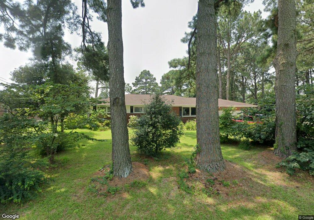
4614 River Shore Rd Portsmouth, VA 23703
Churchland NeighborhoodEstimated Value: $417,000 - $491,000
4
Beds
3
Baths
2,900
Sq Ft
$158/Sq Ft
Est. Value
About This Home
This home is located at 4614 River Shore Rd, Portsmouth, VA 23703 and is currently estimated at $458,362, approximately $158 per square foot. 4614 River Shore Rd is a home located in Portsmouth City with nearby schools including Churchland Primary/Intermediate School, Churchland Middle School, and Churchland High School.
Ownership History
Date
Name
Owned For
Owner Type
Purchase Details
Closed on
Mar 9, 2011
Sold by
Saunders Barbara M and Bingham Constance M
Bought by
Munden Paul N
Current Estimated Value
Home Financials for this Owner
Home Financials are based on the most recent Mortgage that was taken out on this home.
Original Mortgage
$208,000
Outstanding Balance
$144,273
Interest Rate
5.07%
Mortgage Type
New Conventional
Estimated Equity
$314,089
Purchase Details
Closed on
Aug 13, 2008
Sold by
Grandy Rita Myers
Bought by
Saunders Business Systems Inc
Create a Home Valuation Report for This Property
The Home Valuation Report is an in-depth analysis detailing your home's value as well as a comparison with similar homes in the area
Home Values in the Area
Average Home Value in this Area
Purchase History
| Date | Buyer | Sale Price | Title Company |
|---|---|---|---|
| Munden Paul N | $260,000 | -- | |
| Saunders Business Systems Inc | $85,000 | -- |
Source: Public Records
Mortgage History
| Date | Status | Borrower | Loan Amount |
|---|---|---|---|
| Open | Munden Paul N | $208,000 |
Source: Public Records
Tax History Compared to Growth
Tax History
| Year | Tax Paid | Tax Assessment Tax Assessment Total Assessment is a certain percentage of the fair market value that is determined by local assessors to be the total taxable value of land and additions on the property. | Land | Improvement |
|---|---|---|---|---|
| 2025 | $4,017 | $380,350 | $111,000 | $269,350 |
| 2024 | $4,017 | $377,980 | $111,000 | $266,980 |
| 2023 | $4,489 | $359,080 | $111,000 | $248,080 |
| 2022 | $4,643 | $357,120 | $92,500 | $264,620 |
| 2021 | $4,242 | $326,280 | $75,830 | $250,450 |
| 2020 | $4,195 | $322,670 | $72,220 | $250,450 |
| 2019 | $4,133 | $317,940 | $72,220 | $245,720 |
| 2018 | $4,010 | $308,490 | $72,220 | $236,270 |
| 2017 | $4,010 | $308,490 | $72,220 | $236,270 |
| 2016 | $4,010 | $308,490 | $72,220 | $236,270 |
| 2015 | $4,010 | $308,490 | $72,220 | $236,270 |
| 2014 | $3,918 | $308,490 | $72,220 | $236,270 |
Source: Public Records
Map
Nearby Homes
- 4619 River Shore Rd
- 4444 Southampton Arch
- 21 Windy Pines Crescent
- 4726 River Shore Rd
- 5728 Hawthorne Ln
- 5833 Hawthorne Ln
- 5693 Rivermill Cir
- 4232 Summerset Dr
- 4224 Burnham Dr
- 5606 Gregory Ct
- 4200 Quince Rd
- 6750 Burbage Landing Cir
- 8 Compass Ct
- 6602 James Point Ct
- 4071 Long Point Blvd
- 5028 Bay Cir
- 4028 Swannanoa Dr
- 17 Shoal Ct
- 4100 Mayfair Way
- 6832 Ivanhoe Ct
- 4610 River Shore Rd
- 4618 River Shore Rd
- 4611 Southampton Arch
- 4613 Southampton Arch
- 4609 Southampton Arch
- 4615 River Shore Rd
- 4622 River Shore Rd
- 4608 River Shore Rd
- 4615 Southampton Arch
- 4607 Southampton Arch
- 4611 River Shore Rd
- 4617 Southampton Arch
- 4605 Southampton Arch
- 4609 River Shore Rd
- 4623 River Shore Rd
- 4610 Southampton Arch
- 4612 Southampton Arch
- 4604 River Shore Rd
- 4606 Southampton Arch
- 4616 Southampton Arch