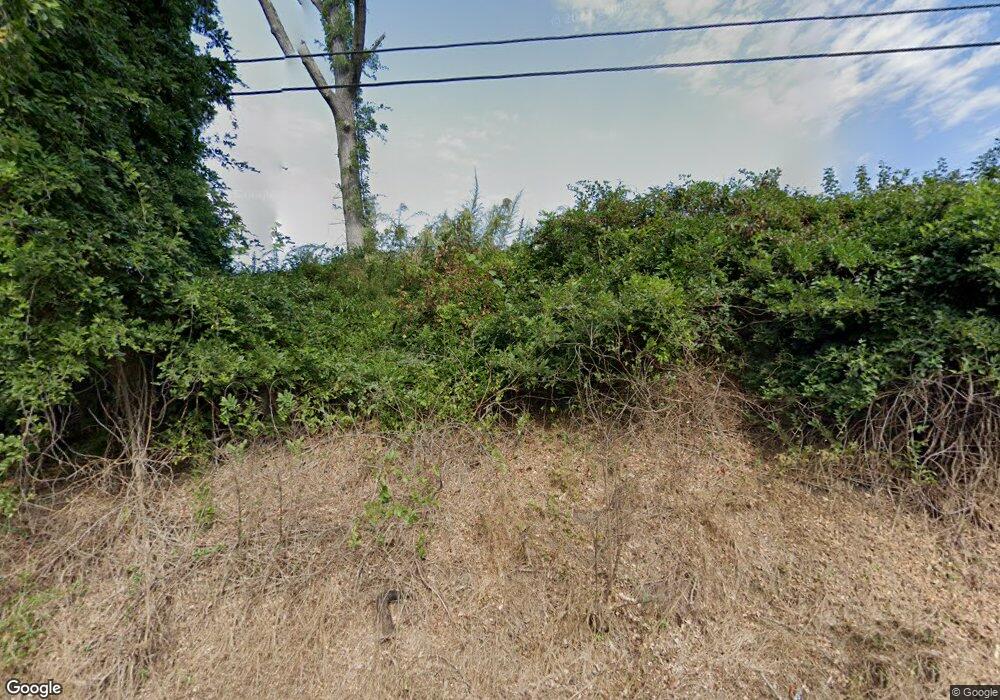
4615 Leesville Rd Durham, NC 27703
Eastern Durham NeighborhoodEstimated Value: $489,000
3
Beds
2
Baths
1,664
Sq Ft
$294/Sq Ft
Est. Value
About This Home
This home is located at 4615 Leesville Rd, Durham, NC 27703 and is currently priced at $489,000, approximately $293 per square foot. 4615 Leesville Rd is a home located in Durham County with nearby schools including Spring Valley Elementary School, John W Neal Middle School, and Southern School of Energy & Sustainability.
Ownership History
Date
Name
Owned For
Owner Type
Purchase Details
Closed on
Jul 21, 2021
Sold by
Mitchell Warren P and Mitchell Ana F
Bought by
Leesville Storage Partners Llc
Current Estimated Value
Purchase Details
Closed on
Dec 6, 2018
Sold by
Eagen Elizabeth
Bought by
Mitchell Warren D and Durham David S
Purchase Details
Closed on
Oct 26, 2015
Sold by
Rref Ii Fh Nc Sierra Llc
Bought by
The Estate Of Ace Esther
Purchase Details
Closed on
Feb 16, 2015
Sold by
The Estate Of Ace Esther
Bought by
Rref Ii Fh Nc Sierra Llc
Create a Home Valuation Report for This Property
The Home Valuation Report is an in-depth analysis detailing your home's value as well as a comparison with similar homes in the area
Home Values in the Area
Average Home Value in this Area
Purchase History
| Date | Buyer | Sale Price | Title Company |
|---|---|---|---|
| Leesville Storage Partners Llc | -- | None Available | |
| Mitchell Warren D | $175,000 | None Available | |
| Eagen Elizabeth | -- | None Available | |
| The Estate Of Ace Esther | -- | Attorney | |
| Rref Ii Fh Nc Sierra Llc | $7,000 | None Available |
Source: Public Records
Tax History
| Year | Tax Paid | Tax Assessment Tax Assessment Total Assessment is a certain percentage of the fair market value that is determined by local assessors to be the total taxable value of land and additions on the property. | Land | Improvement |
|---|---|---|---|---|
| 2025 | $25,115 | $3,913,711 | $3,836,801 | $76,910 |
| 2024 | $3,805 | $391,635 | $318,653 | $72,982 |
| 2023 | $3,683 | $391,635 | $318,653 | $72,982 |
| 2022 | $3,600 | $391,635 | $318,653 | $72,982 |
| 2021 | $3,435 | $391,635 | $318,653 | $72,982 |
| 2020 | $3,357 | $391,635 | $318,653 | $72,982 |
| 2019 | $3,363 | $396,947 | $315,992 | $80,955 |
| 2018 | $3,480 | $377,048 | $318,414 | $58,634 |
| 2017 | $3,367 | $377,048 | $318,414 | $58,634 |
| 2016 | $3,263 | $377,048 | $318,414 | $58,634 |
| 2015 | $1,955 | $196,730 | $121,628 | $75,102 |
| 2014 | -- | $196,730 | $121,628 | $75,102 |
Source: Public Records
Map
Nearby Homes
- 2216 Jollay St
- Ashland Plan at
- Cary Plan at
- Norman Plan at
- Bristol Plan at
- 809 Doggard Ln
- 3503 Long Ridge Rd
- 232 Cross Blossom Rd
- 205 Spring Flower Ln
- 4613 Angier Ave
- 2018 Morehead Hill Ct
- 3829 U S 70
- 408 Timpson Ave
- 5226 Malik Dr
- 5216 Dilbagh Dr
- 19 Gandhi Dr
- 1136 Salford Ct
- 1128 Salford Ct
- 203 Tuttle Rd
- 1132 Salford Ct
- 4627 Leesville Rd
- 4627 Leesville Rd Unit 14
- 2935 E Us 70 Hwy
- 2935 U S 70
- 4709 Leesville Rd
- 0 Us 70 Hwy Unit 690824
- 0 Us 70 Hwy Unit 831443
- 0 Us 70 Hwy Unit 843544
- 0 Us 70 Hwy Unit 796441
- 0 Us 70 Hwy Unit 796417
- 0 Us 70 Hwy Unit 891988
- 0 Us 70 Hwy Unit 831991
- 0 Us 70 Hwy Unit N TR1758348
- 0 Us 70 Hwy Unit N TR1817879
- 0 Us 70 Hwy Unit A TR1925895
- 0 Us 70 Hwy Unit B TR1925904
- 0 Us 70 Hwy Unit C TR1925914
- 0 Us 70 Hwy Unit TR1996004
- 0 Us 70 Hwy Unit 1692318
- 0 Us 70 Hwy Unit N 1758348
Your Personal Tour Guide
Ask me questions while you tour the home.
