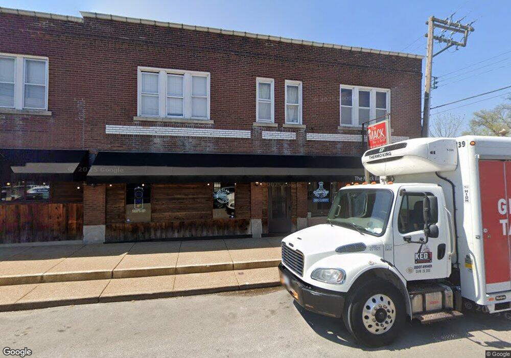
4615 MacKlind Ave Saint Louis, MO 63109
Southampton NeighborhoodEstimated Value: $559,000
--
Bed
6
Baths
9,240
Sq Ft
$60/Sq Ft
Est. Value
About This Home
This home is located at 4615 MacKlind Ave, Saint Louis, MO 63109 and is currently priced at $559,000, approximately $60 per square foot. 4615 MacKlind Ave is a home located in St. Louis City with nearby schools including Buder Elementary School, Long International Middle School, and Roosevelt High School.
Ownership History
Date
Name
Owned For
Owner Type
Purchase Details
Closed on
Jul 18, 2017
Sold by
Mccubbins David M and Mccubbins Amy
Bought by
Mccubbins Inc
Current Estimated Value
Home Financials for this Owner
Home Financials are based on the most recent Mortgage that was taken out on this home.
Original Mortgage
$230,000
Outstanding Balance
$191,091
Interest Rate
3.89%
Mortgage Type
Future Advance Clause Open End Mortgage
Purchase Details
Closed on
Jun 29, 2011
Sold by
Mccubbins David M and Mccubbins Amy
Bought by
Mccubbins David M and Mccubbins Amy
Create a Home Valuation Report for This Property
The Home Valuation Report is an in-depth analysis detailing your home's value as well as a comparison with similar homes in the area
Home Values in the Area
Average Home Value in this Area
Purchase History
| Date | Buyer | Sale Price | Title Company |
|---|---|---|---|
| Mccubbins Inc | -- | None Available | |
| Mccubbins David M | -- | None Available |
Source: Public Records
Mortgage History
| Date | Status | Borrower | Loan Amount |
|---|---|---|---|
| Open | Mccubbins Inc | $230,000 |
Source: Public Records
Tax History Compared to Growth
Tax History
| Year | Tax Paid | Tax Assessment Tax Assessment Total Assessment is a certain percentage of the fair market value that is determined by local assessors to be the total taxable value of land and additions on the property. | Land | Improvement |
|---|---|---|---|---|
| 2025 | $5,224 | $57,860 | $4,310 | $53,550 |
| 2024 | $4,986 | $57,860 | $4,310 | $53,550 |
| 2023 | $4,986 | $57,860 | $4,310 | $53,550 |
| 2022 | $5,163 | $57,860 | $4,310 | $53,550 |
| 2021 | $5,156 | $57,860 | $4,310 | $53,550 |
| 2020 | $5,119 | $57,860 | $4,310 | $53,550 |
| 2019 | $5,103 | $57,960 | $4,310 | $53,650 |
| 2018 | $4,977 | $54,870 | $4,310 | $50,560 |
| 2017 | $4,898 | $54,860 | $4,310 | $50,560 |
| 2016 | $4,956 | $54,860 | $4,310 | $50,560 |
| 2015 | $4,521 | $54,870 | $4,310 | $50,560 |
| 2014 | $4,519 | $54,870 | $4,310 | $50,560 |
| 2013 | -- | $54,870 | $4,310 | $50,560 |
Source: Public Records
Map
Nearby Homes
- 5444 Murdoch Ave
- 5532 Lansdowne Ave
- 5462 Nottingham Ave
- 5537 Devonshire Ave
- 5236 Lansdowne Ave
- 5579 Lansdowne Ave
- 5400 Itaska St
- 5608 Devonshire Ave
- 5515 Itaska St
- 5335 Bancroft Ave
- 5453 Bancroft Ave
- 5230 Bancroft Ave
- 5638 Murdoch Ave
- 5616 Neosho St
- 4961 Neosho St
- 5614 Bancroft Ave
- 5249 Walsh St
- 5043 Bancroft Ave
- 5655 Sutherland Ave
- 5167 Eichelberger St
- 5409 Murdoch Ave
- 5411 Murdoch Ave
- 4611 MacKlind Ave
- 4611 MacKlind Ave
- 5415 Murdoch Ave
- 5406 Devonshire Ave
- 5419 Murdoch Ave
- 5351 Murdoch Ave
- 5410 Devonshire Ave
- 5400 Devonshire Ave
- 5414 Devonshire Ave
- 5400 Murdoch Ave
- 5345 Murdoch Ave
- 5416 Devonshire Ave
- 5347 Murdoch Ave
- 5347 Murdoch Ave Unit 2F
- 5347 Murdoch Ave Unit 1F
- 5423 Murdoch Ave
- 5410 Murdoch Ave
- 5406 Murdoch Ave