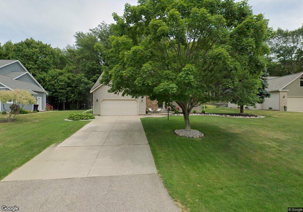
4615 Pine Dr Holland, MI 49423
South Holland NeighborhoodEstimated Value: $369,239 - $476,000
3
Beds
3
Baths
2,005
Sq Ft
$215/Sq Ft
Est. Value
About This Home
This home is located at 4615 Pine Dr, Holland, MI 49423 and is currently estimated at $430,810, approximately $214 per square foot. 4615 Pine Dr is a home located in Allegan County with nearby schools including Maplewood, Holland High School, and Vanderbilt Charter Academy.
Ownership History
Date
Name
Owned For
Owner Type
Purchase Details
Closed on
Oct 21, 2002
Sold by
Mouw Richard M and Mouw Cynthia M
Bought by
Kalman Kyle and Kalman Jennifer
Current Estimated Value
Home Financials for this Owner
Home Financials are based on the most recent Mortgage that was taken out on this home.
Original Mortgage
$148,000
Interest Rate
6.13%
Purchase Details
Closed on
Aug 28, 2000
Sold by
Krimendahl David and Krimendahl Monika N
Bought by
Mouw Richard M
Home Financials for this Owner
Home Financials are based on the most recent Mortgage that was taken out on this home.
Original Mortgage
$120,000
Interest Rate
5.87%
Mortgage Type
Credit Line Revolving
Purchase Details
Closed on
Oct 19, 1993
Sold by
"Hbr* Krimendahl
Bought by
David"
Purchase Details
Closed on
Dec 29, 1989
Create a Home Valuation Report for This Property
The Home Valuation Report is an in-depth analysis detailing your home's value as well as a comparison with similar homes in the area
Home Values in the Area
Average Home Value in this Area
Purchase History
| Date | Buyer | Sale Price | Title Company |
|---|---|---|---|
| Kalman Kyle | $185,000 | Metropolitan Title Company | |
| Mouw Richard M | $152,000 | Metropolitan Title Company | |
| David" | $131,500 | -- | |
| -- | $122,000 | -- |
Source: Public Records
Mortgage History
| Date | Status | Borrower | Loan Amount |
|---|---|---|---|
| Previous Owner | Kalman Kyle | $148,000 | |
| Previous Owner | Mouw Richard M | $120,000 |
Source: Public Records
Tax History
| Year | Tax Paid | Tax Assessment Tax Assessment Total Assessment is a certain percentage of the fair market value that is determined by local assessors to be the total taxable value of land and additions on the property. | Land | Improvement |
|---|---|---|---|---|
| 2025 | $3,077 | $151,900 | $42,500 | $109,400 |
| 2024 | $2,809 | $147,300 | $32,500 | $114,800 |
| 2023 | $2,809 | $117,400 | $20,000 | $97,400 |
| 2022 | $2,809 | $111,600 | $20,000 | $91,600 |
| 2020 | $2,646 | $105,400 | $20,000 | $85,400 |
| 2019 | $0 | $101,400 | $17,700 | $83,700 |
| 2018 | $0 | $95,900 | $17,700 | $78,200 |
| 2017 | $0 | $90,700 | $17,700 | $73,000 |
| 2016 | $0 | $79,600 | $17,700 | $61,900 |
| 2015 | -- | $79,600 | $17,700 | $61,900 |
| 2014 | -- | $75,300 | $17,700 | $57,600 |
| 2013 | -- | $73,400 | $17,700 | $55,700 |
Source: Public Records
Map
Nearby Homes
- 6199 Lake Wind Ave Unit Lot 22
- 4723 Dune Grass Ln
- 4656 Arbor Trail
- 6490 145th Ave
- 6541 145th Ave
- 0 Pine Hollow Rd
- VL 145th St
- 4773 64th St
- VL 145th Ave Unit Lot F
- VL 145th Ave Unit Lot B
- VL 145th Ave Unit Lot A
- 1400 W 32nd St
- 1980 S Shorewood Ln Unit 19
- 1968 S Shorewood Ln Unit 14
- 1987 S Shorewood Ln
- 6244 62nd St
- 4679 Forest Ridge Dr Unit 29
- 651 S 160th Ave
- 6243 Woodcliff St
- 1852 S Shore Dr
Your Personal Tour Guide
Ask me questions while you tour the home.