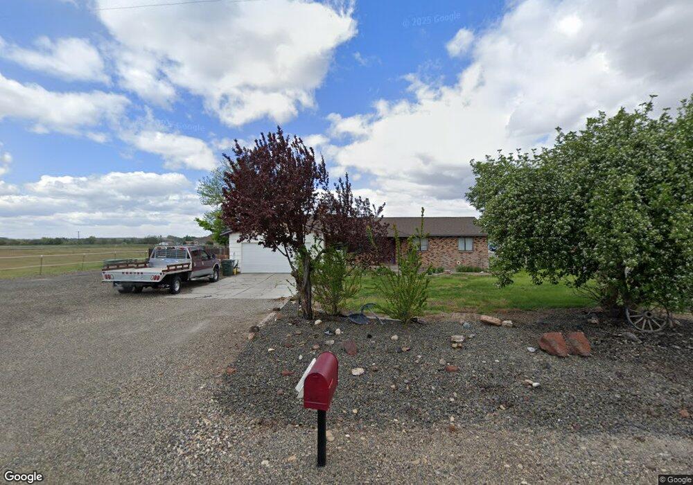
4615 Quail Ln Ontario, OR 97914
Estimated Value: $437,511 - $461,000
3
Beds
2
Baths
1,406
Sq Ft
$320/Sq Ft
Est. Value
About This Home
This home is located at 4615 Quail Ln, Ontario, OR 97914 and is currently estimated at $449,256, approximately $319 per square foot. 4615 Quail Ln is a home located in Malheur County with nearby schools including Ontario High School, River of Life Christian School, and Treasure Valley Seventh-Day Adventist School.
Ownership History
Date
Name
Owned For
Owner Type
Purchase Details
Closed on
May 4, 2023
Sold by
Hawkins Ronald F and Hawkins Dianne
Bought by
Ronald And Dianne Hawkins Living Trust and Hawkins
Current Estimated Value
Purchase Details
Closed on
Sep 16, 2005
Sold by
Palmer Janet M
Bought by
Palmer Janet
Home Financials for this Owner
Home Financials are based on the most recent Mortgage that was taken out on this home.
Original Mortgage
$50,000
Interest Rate
9.12%
Mortgage Type
Adjustable Rate Mortgage/ARM
Create a Home Valuation Report for This Property
The Home Valuation Report is an in-depth analysis detailing your home's value as well as a comparison with similar homes in the area
Home Values in the Area
Average Home Value in this Area
Purchase History
| Date | Buyer | Sale Price | Title Company |
|---|---|---|---|
| Ronald And Dianne Hawkins Living Trust | -- | None Listed On Document | |
| Palmer Janet | -- | -- |
Source: Public Records
Mortgage History
| Date | Status | Borrower | Loan Amount |
|---|---|---|---|
| Previous Owner | Palmer Janet | $50,000 |
Source: Public Records
Tax History Compared to Growth
Tax History
| Year | Tax Paid | Tax Assessment Tax Assessment Total Assessment is a certain percentage of the fair market value that is determined by local assessors to be the total taxable value of land and additions on the property. | Land | Improvement |
|---|---|---|---|---|
| 2024 | $2,430 | $192,854 | $75,644 | $117,210 |
| 2023 | $2,396 | $187,237 | $68,559 | $118,678 |
| 2022 | $2,345 | $181,784 | $70,023 | $111,761 |
| 2021 | $2,304 | $176,490 | $66,606 | $109,884 |
| 2020 | $2,252 | $171,350 | $68,011 | $103,339 |
| 2019 | $2,148 | $166,360 | $66,030 | $100,330 |
| 2018 | $2,071 | $164,290 | $68,030 | $96,260 |
| 2017 | $1,996 | $159,505 | $65,312 | $94,193 |
| 2016 | $1,972 | $154,860 | $63,410 | $91,450 |
| 2015 | $1,901 | $148,500 | $65,380 | $83,120 |
| 2014 | $1,853 | $144,550 | $65,380 | $79,170 |
Source: Public Records
Map
Nearby Homes
- 4606 Quail Ln
- 4619 Quail Ln
- 4620 Quail Ln
- TBD Quail Ln
- 4630 Quail Ln
- 1950 Boat Landing Rd
- 228 Boat Landing Rd
- 222 Boat Landing Rd
- 4621 Rolland Rd
- 216 Boat Landing Rd
- 257 Boat Landing Rd
- 265 Cedar Rd
- 4647 Highway 52
- 4615 Rolland Rd
- 213 Boat Landing Rd
- 245 Cedar Rd
- 4631 Rolland Rd
- 211 Boat Landing Rd
- 242 Cedar
- 232 Cedar Rd