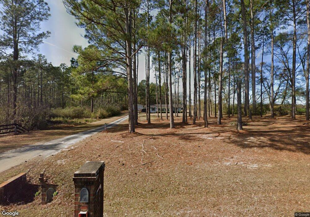
4615 Stewart Rd Ochlocknee, GA 31773
Estimated Value: $176,638 - $311,000
Studio
--
Bath
1,344
Sq Ft
$173/Sq Ft
Est. Value
About This Home
This home is located at 4615 Stewart Rd, Ochlocknee, GA 31773 and is currently estimated at $233,160, approximately $173 per square foot. 4615 Stewart Rd is a home located in Thomas County with nearby schools including Hand in Hand Primary School, Cross Creek Elementary School, and Garrison-Pilcher Elementary School.
Ownership History
Date
Name
Owned For
Owner Type
Purchase Details
Closed on
Mar 31, 2014
Sold by
Mills Bobby L
Bought by
Mills Bobby L and Mills Melissa
Current Estimated Value
Home Financials for this Owner
Home Financials are based on the most recent Mortgage that was taken out on this home.
Original Mortgage
$99,870
Outstanding Balance
$26,915
Interest Rate
4.43%
Mortgage Type
New Conventional
Estimated Equity
$206,245
Purchase Details
Closed on
Aug 10, 2005
Sold by
Stewart Randall Bruce
Bought by
Mills Bobby L
Purchase Details
Closed on
Apr 12, 1989
Bought by
Stewart Randall Bruc
Create a Home Valuation Report for This Property
The Home Valuation Report is an in-depth analysis detailing your home's value as well as a comparison with similar homes in the area
Purchase History
| Date | Buyer | Sale Price | Title Company |
|---|---|---|---|
| Mills Bobby L | -- | -- | |
| Mills Bobby L | $139,000 | -- | |
| Stewart Randall Bruc | -- | -- |
Source: Public Records
Mortgage History
| Date | Status | Borrower | Loan Amount |
|---|---|---|---|
| Open | Mills Bobby L | $99,870 |
Source: Public Records
Tax History
| Year | Tax Paid | Tax Assessment Tax Assessment Total Assessment is a certain percentage of the fair market value that is determined by local assessors to be the total taxable value of land and additions on the property. | Land | Improvement |
|---|---|---|---|---|
| 2025 | $1,116 | $60,487 | $8,719 | $51,768 |
| 2024 | $1,037 | $51,966 | $8,719 | $43,247 |
| 2023 | $943 | $48,479 | $6,975 | $41,504 |
| 2022 | $948 | $44,306 | $6,975 | $37,331 |
| 2021 | $925 | $39,453 | $6,065 | $33,388 |
| 2020 | $954 | $39,670 | $6,065 | $33,605 |
| 2019 | $964 | $39,670 | $6,065 | $33,605 |
| 2018 | $990 | $39,906 | $6,065 | $33,841 |
| 2017 | $1,023 | $40,552 | $6,065 | $34,487 |
| 2016 | $1,087 | $42,700 | $6,065 | $36,635 |
| 2015 | $1,208 | $46,568 | $6,065 | $40,503 |
| 2014 | $1,198 | $46,001 | $6,065 | $39,936 |
| 2013 | -- | $46,000 | $6,065 | $39,935 |
Source: Public Records
Map
Nearby Homes
- 23481 U S 19
- 3021 Church St
- 27286 U S Highway 19
- 5801 State Route 188
- 00 Academy Dr
- 210 Egg and Butter Rd N
- 210 Egg & Butter Rd
- 1101 Egg and Butter Rd N
- 27286 U S 19
- 88 Ruby Ln
- 2427 Pierce Chapel Rd
- 108 Quail Ridge St
- 163 U S 84
- 107 Mossy Creek Way
- 105 Mossy Creek Way
- 19506 Georgia 3
- 800 Westshore Dr
- 185 W Shore Dr
- 163 W Shore Dr
- 396 Carrington Cir
- 4615 Stewart Rd
- 4561 Stewart Rd
- 4634 Stewart Rd
- 4660 Stewart Rd
- 4648 Stewart Rd
- 4555 Stewart Rd
- 4483 Stewart Rd
- 4559 Stewart Rd
- 4809 Stewart Rd
- 4700 Stewart Rd
- 4780 Stewart Rd
- 4704 Stewart Rd
- 3380 Mcmillan Rd
- 3328 Mcmillan Rd
- 3270 Mcmillan Rd Unit 1
- 3270 Mcmillan Rd
- 100acres Mcmillan Rd
- 44.5 ac Mcmillan Rd
- 44 acres Mcmillan Rd
- 0 Mcmillan Rd
Your Personal Tour Guide
Ask me questions while you tour the home.