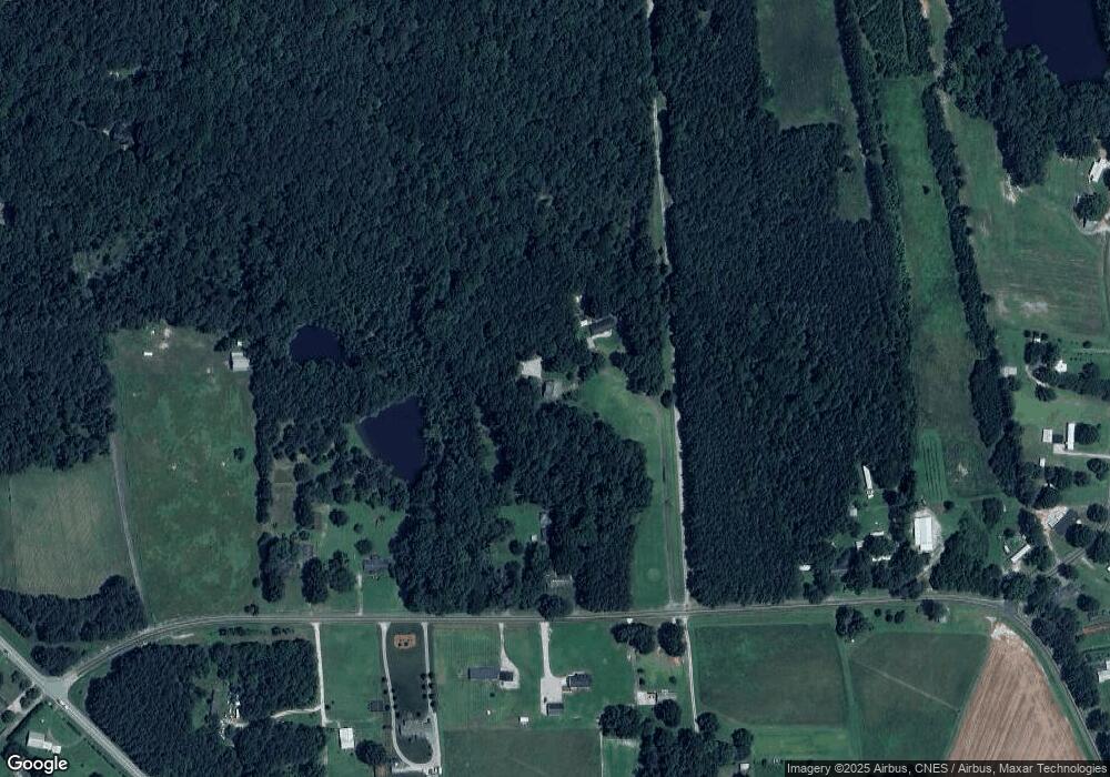
4617 Derwood Dr Zebulon, NC 27597
Estimated Value: $441,312 - $592,000
--
Bed
3
Baths
2,409
Sq Ft
$222/Sq Ft
Est. Value
About This Home
This home is located at 4617 Derwood Dr, Zebulon, NC 27597 and is currently estimated at $533,828, approximately $221 per square foot. 4617 Derwood Dr is a home located in Wake County with nearby schools including Zebulon Elementary School, Zebulon Magnet Middle School, and East Wake High School.
Ownership History
Date
Name
Owned For
Owner Type
Purchase Details
Closed on
Mar 15, 2006
Sold by
Brannan Woody M and Brannan Robin P
Bought by
Brannan Woody M and Brannan Robin P
Current Estimated Value
Home Financials for this Owner
Home Financials are based on the most recent Mortgage that was taken out on this home.
Original Mortgage
$67,500
Interest Rate
6.19%
Mortgage Type
Fannie Mae Freddie Mac
Create a Home Valuation Report for This Property
The Home Valuation Report is an in-depth analysis detailing your home's value as well as a comparison with similar homes in the area
Home Values in the Area
Average Home Value in this Area
Purchase History
| Date | Buyer | Sale Price | Title Company |
|---|---|---|---|
| Brannan Woody M | -- | None Available |
Source: Public Records
Mortgage History
| Date | Status | Borrower | Loan Amount |
|---|---|---|---|
| Closed | Brannan Woody M | $67,500 |
Source: Public Records
Tax History Compared to Growth
Tax History
| Year | Tax Paid | Tax Assessment Tax Assessment Total Assessment is a certain percentage of the fair market value that is determined by local assessors to be the total taxable value of land and additions on the property. | Land | Improvement |
|---|---|---|---|---|
| 2025 | $2,592 | $402,181 | $63,200 | $338,981 |
| 2024 | $2,518 | $402,181 | $63,200 | $338,981 |
| 2023 | $2,301 | $292,546 | $43,360 | $249,186 |
| 2022 | $2,133 | $292,546 | $43,360 | $249,186 |
| 2021 | $2,076 | $292,546 | $43,360 | $249,186 |
| 2020 | $2,042 | $292,546 | $43,360 | $249,186 |
| 2019 | $1,912 | $231,605 | $31,280 | $200,325 |
| 2018 | $1,758 | $231,605 | $31,280 | $200,325 |
| 2017 | $1,667 | $231,605 | $31,280 | $200,325 |
| 2016 | $1,633 | $231,605 | $31,280 | $200,325 |
| 2015 | $1,659 | $235,995 | $40,320 | $195,675 |
| 2014 | $1,573 | $235,995 | $40,320 | $195,675 |
Source: Public Records
Map
Nearby Homes
- 4944 Zebulon Rd
- 4948 Zebulon Rd
- 5100 Grist Stone Way
- 7404 Halifax Rd
- 5009 Hopkins Chapel Rd
- 5124 Grist Stone Way
- 5008 Hopkins Chapel Rd
- Lot 5 Triskel
- 8524 Pascolo Way
- 5021 Mitchell Town Rd
- Lot 6 Triskel Ln
- 8420 Hopkins Glen Way
- 9520 Wood River Dr
- 8401 Mitchell Mill Rd
- 105 Perry Ln
- 45 Addison Pond Ct
- 46 Addison Pond Ct
- 305 Leghorn Dr
- 25 Diamond Creek Dr
- 15 Diamond Creek Dr
- 4616 Derwood Dr
- 7313 Martin Rd
- 7316 Martin Rd
- 7221 Martin Rd
- 7409 Martin Rd
- 7300 Martin Rd
- 4613 Adas Acres Ln
- 4532 Family Home Place
- 7220 Martin Rd
- 7208 Martin Rd
- 4509 Family Home Place
- 7917 Lockleair Rd
- 7917 Lockleair Rd Unit 6
- 7209 Martin Rd
- 7209 Martin Rd
- 7909 Lockleair Rd
- 7336 Martin Rd
- 4616 Zebulon Rd
- 4600 Zebulon Rd
- 4820 Country Wagon Ln
